MyTopo
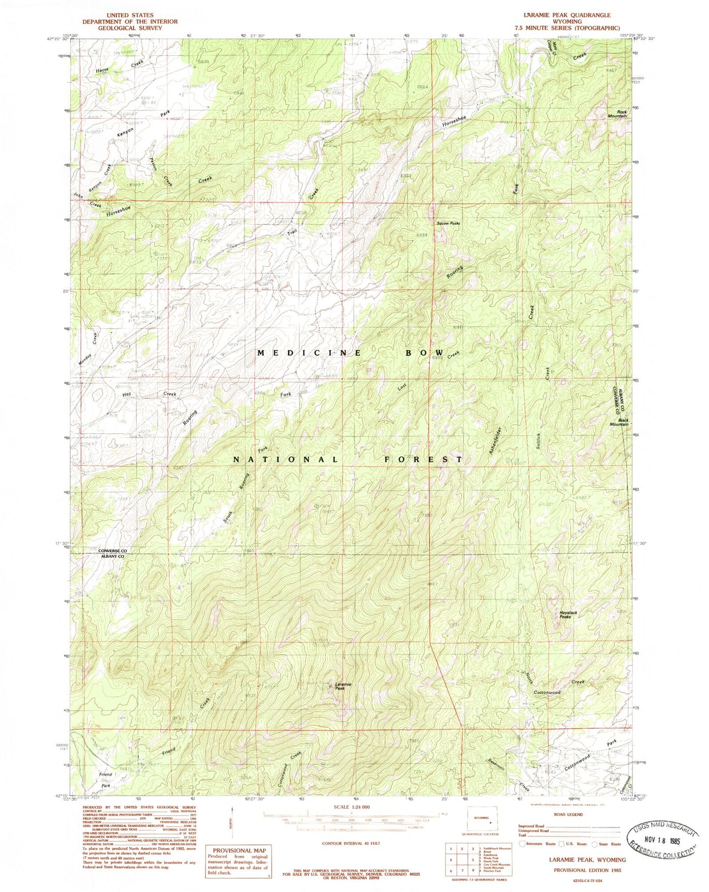
Classic USGS Laramie Peak Wyoming 7.5'x7.5' Topo Map
Couldn't load pickup availability
Historical USGS topographic quad map of Laramie Peak in the state of Wyoming. Typical map scale is 1:24,000, but may vary for certain years, if available. Print size: 24" x 27"
This quadrangle is in the following counties: Albany, Converse.
The map contains contour lines, roads, rivers, towns, and lakes. Printed on high-quality waterproof paper with UV fade-resistant inks, and shipped rolled.
Contains the following named places: Saltlick Creek, Roaring Fork, Black Mountain, Friend Park, Friend Park, Hay Creek, Haystack Peaks, John Creek, Kenyon Creek, Kenyon Park, Laramie Peak, Lost Creek, Mary Cooper Creek, Pickerall Ranch, Pickerall School, Rock Mountain, Squaw Peaks, Sturgeon Ranch, Trail Creek, Friend Park Campground, Atkinson Ranch, Ashenfelder Creek, South Roaring Fork