MyTopo
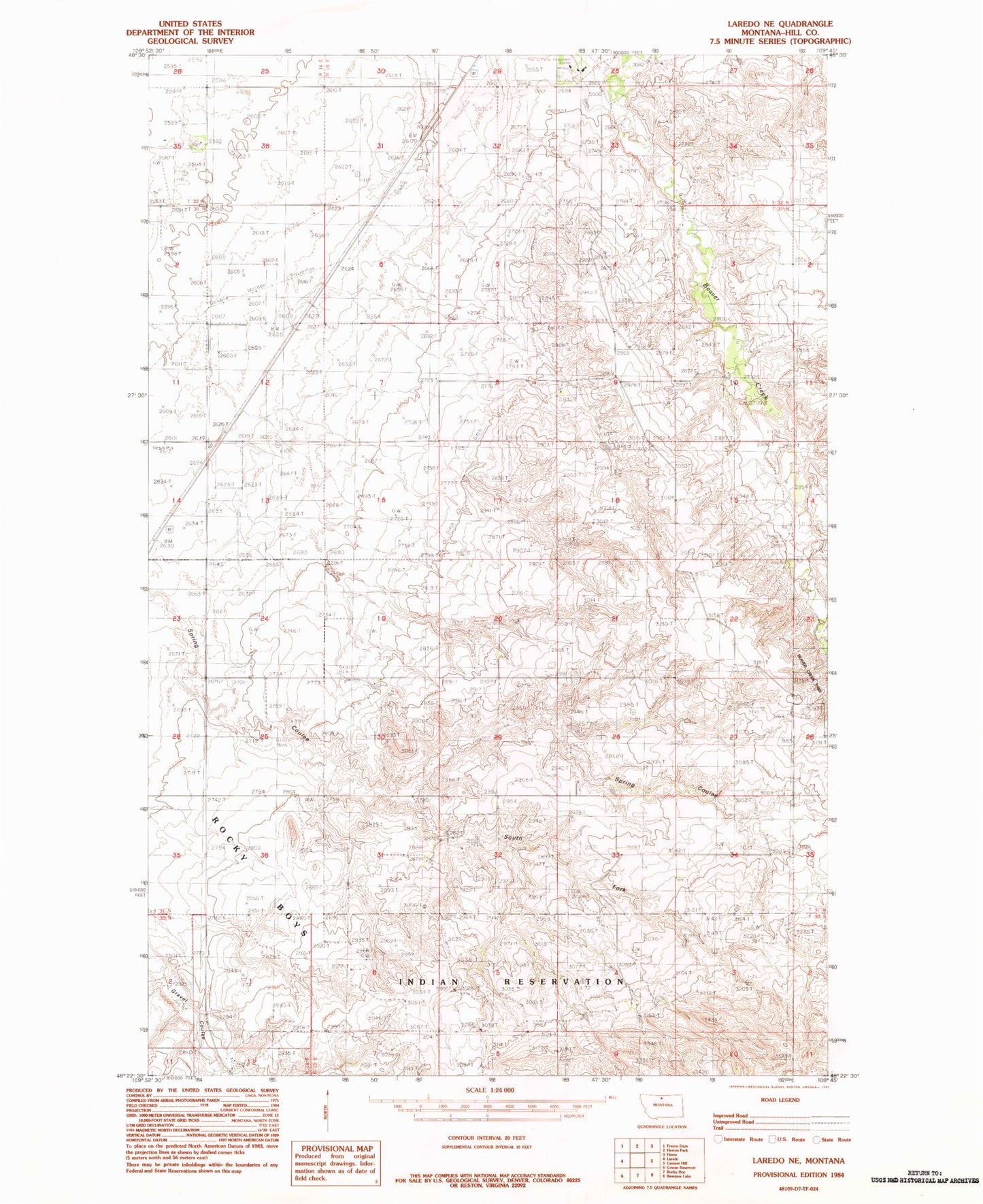
Classic USGS Laredo NE Montana 7.5'x7.5' Topo Map
Couldn't load pickup availability
Historical USGS topographic quad map of Laredo NE in the state of Montana. Map scale may vary for some years, but is generally around 1:24,000. Print size is approximately 24" x 27"
This quadrangle is in the following counties: Hill.
The map contains contour lines, roads, rivers, towns, and lakes. Printed on high-quality waterproof paper with UV fade-resistant inks, and shipped rolled.
Contains the following named places: 31N14E12CB__01 Well, 31N14E13AD__01 Well, 31N14E13BC__01 Well, 31N14E23AC__01 Well, 31N15E04CCCD01 Well, 31N15E05AB__01 Well, 31N15E06AD__01 Well, 31N15E08AB__01 Well, 31N15E17ACCC01 Well, 31N15E34CCCB01 Well, 32N14E35AD__01 Well, 32N15E30DC__01 Well, 32N15E31CC__01 Well, 32N15E32DB__01 Well, Chapel at Fort Assinniboine, Herron Coulee, Neuwerth Coulee, South Fork Spring Coulee