MyTopo
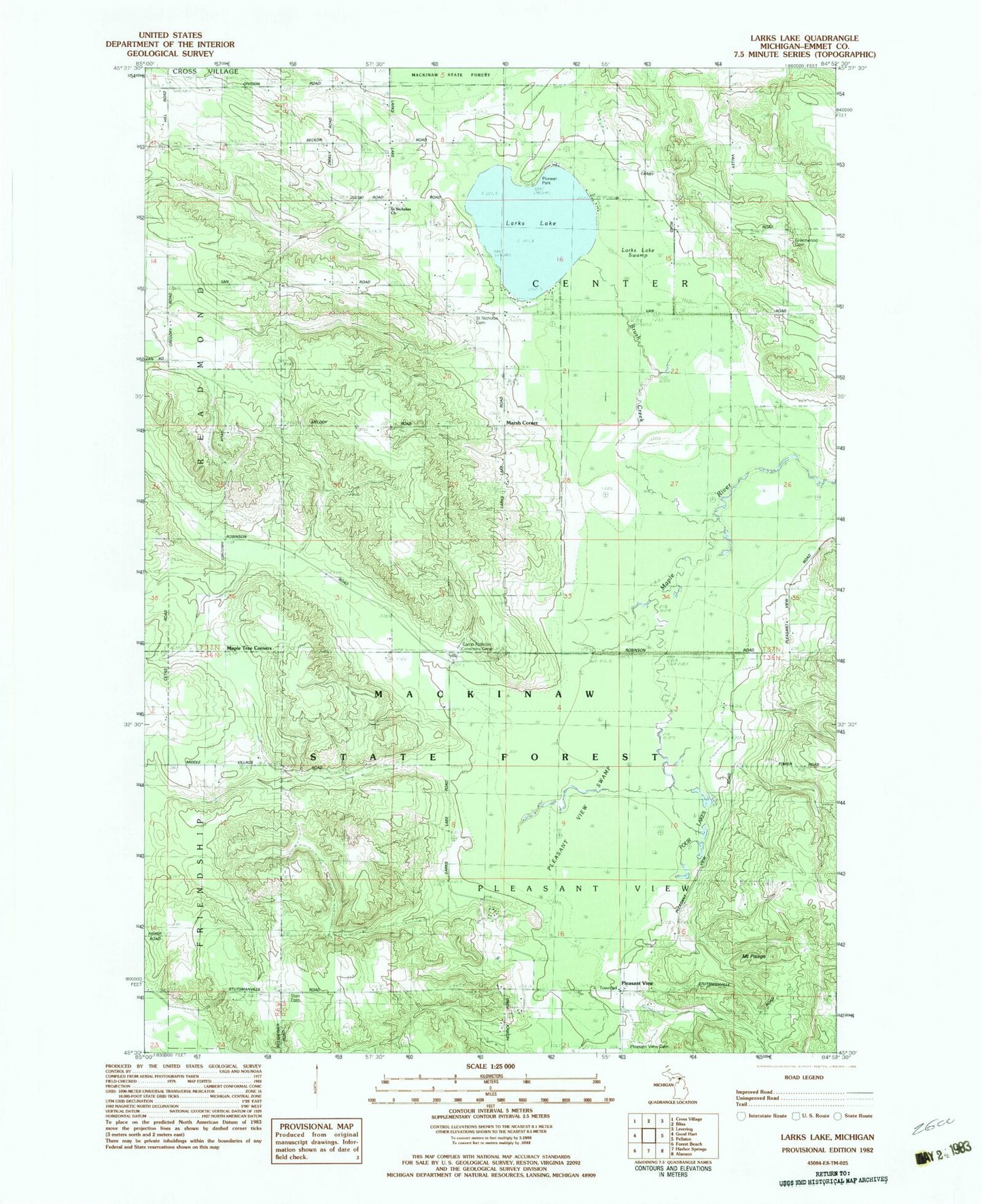
Classic USGS Larks Lake Michigan 7.5'x7.5' Topo Map
Couldn't load pickup availability
Historical USGS topographic quad map of Larks Lake in the state of Michigan. Typical map scale is 1:24,000, but may vary for certain years, if available. Print size: 24" x 27"
This quadrangle is in the following counties: Emmet.
The map contains contour lines, roads, rivers, towns, and lakes. Printed on high-quality waterproof paper with UV fade-resistant inks, and shipped rolled.
Contains the following named places: Brush Creek, Four Lakes, Greenwood Cemetery, Larks Lake, Pleasant View Cemetery, Pleasant View Swamp, Saint Nichols Cemetery, Saint Nichols Church, Marsh Corner, Pleasant View, Emmet County, Township of Center, Township of Pleasantview, Mount Pisage, Starr Cemetery, Camp Pellston, Maple Tree Corners, Larks Lake Swamp, Pioneer Park, True North Golf Club, Pleasantview Post Office (historical), Larks Post Office (historical), Pioneer Picnic Park Historical Marker