MyTopo
Classic USGS Larkspur Hills California 7.5'x7.5' Topo Map
Regular price
$16.95
Regular price
Sale price
$16.95
Unit price
per
Couldn't load pickup availability
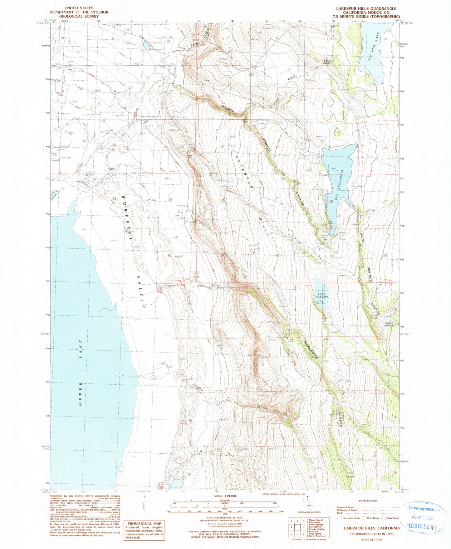
Historical USGS topographic quad map of Larkspur Hills in the state of California. Map scale may vary for some years, but is generally around 1:24,000. Print size is approximately 24" x 27"
This quadrangle is in the following counties: Modoc.
The map contains contour lines, roads, rivers, towns, and lakes. Printed on high-quality waterproof paper with UV fade-resistant inks, and shipped rolled.
Contains the following named places: Big Mud Lake, Conlan Spring, Fee Reservoir, First Creek, Larkspur Hills, Lieberman Canyon, Little Mud Lake, Long Canyon, Poison Springs, Poison Springs 1113 Dam, Poison Springs Canyon, Schamp Creek, Second Creek, ZIP Code: 96112