MyTopo
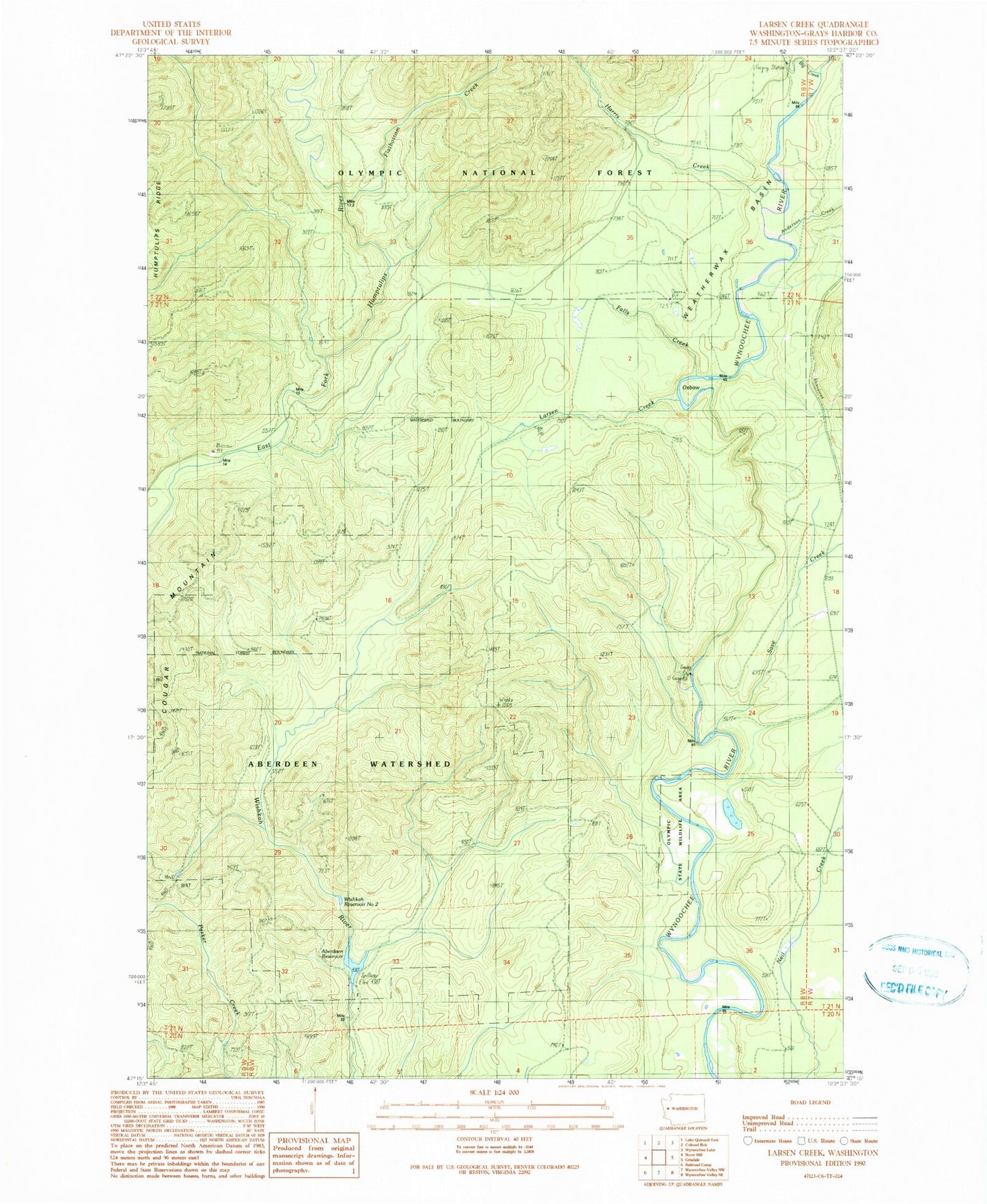
Classic USGS Larsen Creek Washington 7.5'x7.5' Topo Map
Couldn't load pickup availability
Historical USGS topographic quad map of Larsen Creek in the state of Washington. Map scale may vary for some years, but is generally around 1:24,000. Print size is approximately 24" x 27"
This quadrangle is in the following counties: Grays Harbor.
The map contains contour lines, roads, rivers, towns, and lakes. Printed on high-quality waterproof paper with UV fade-resistant inks, and shipped rolled.
Contains the following named places: Aberdeen Reservoir, Aberdeen Watershed, Anderson Creek, Big Creek, Cougar Mountain, Falls Creek, Flatbottom Creek, Go-Forth Creek, Grisdale Pond, Harris Creek, Larsen Creek, Malinowski Dam, Oxbow, Save Creek, Weatherwax, Weatherwax Basin, Wishkah Reservoir Number Three, Wishkah Reservoir Number Three Dam, Wishkah Reservoir Number Two, Wishkah Reservoir Number Two Dam, Wynoochee Fish Barrier