MyTopo
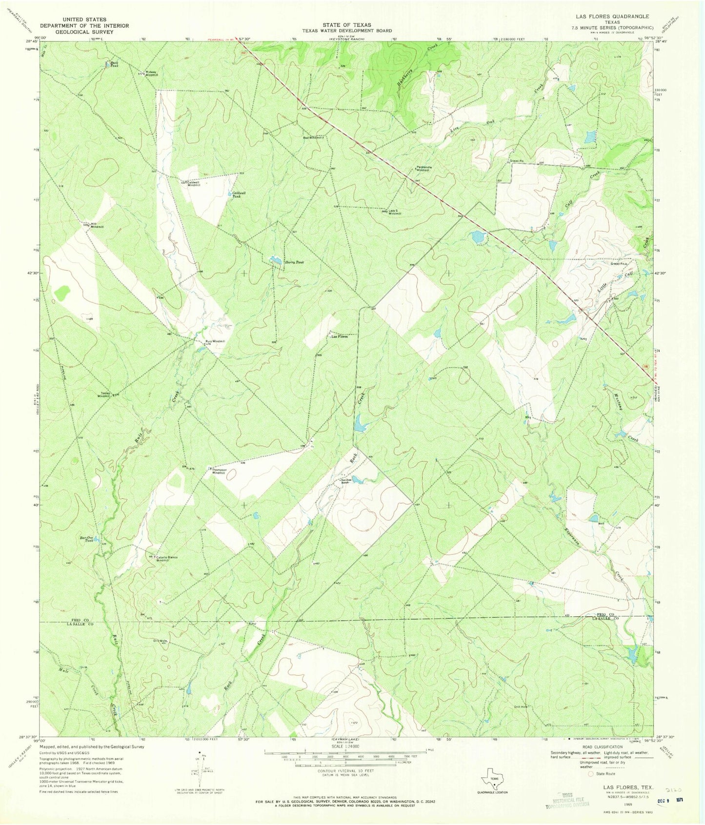
Classic USGS Las Flores Texas 7.5'x7.5' Topo Map
Regular price
$16.95
Regular price
Sale price
$16.95
Unit price
per
Couldn't load pickup availability
Historical USGS topographic quad map of Las Flores in the state of Texas. Map scale may vary for some years, but is generally around 1:24,000. Print size is approximately 24" x 27"
This quadrangle is in the following counties: Frio, La Salle.
The map contains contour lines, roads, rivers, towns, and lakes. Printed on high-quality waterproof paper with UV fade-resistant inks, and shipped rolled.
Contains the following named places: Bar-One Tank, Buck Tank, Caballo Blanco Windmill, Caldwell Tank, Caldwell Windmill, Harry Tank, Hill Windmill, Las Flores, Lazy S Windmill, Midway Windmill, Mule Creek, Panhandle Windmill, Red Windmill, Ruiz Windmill, San Jose Ranch, Thompson Windmill, Tooley Windmill