MyTopo
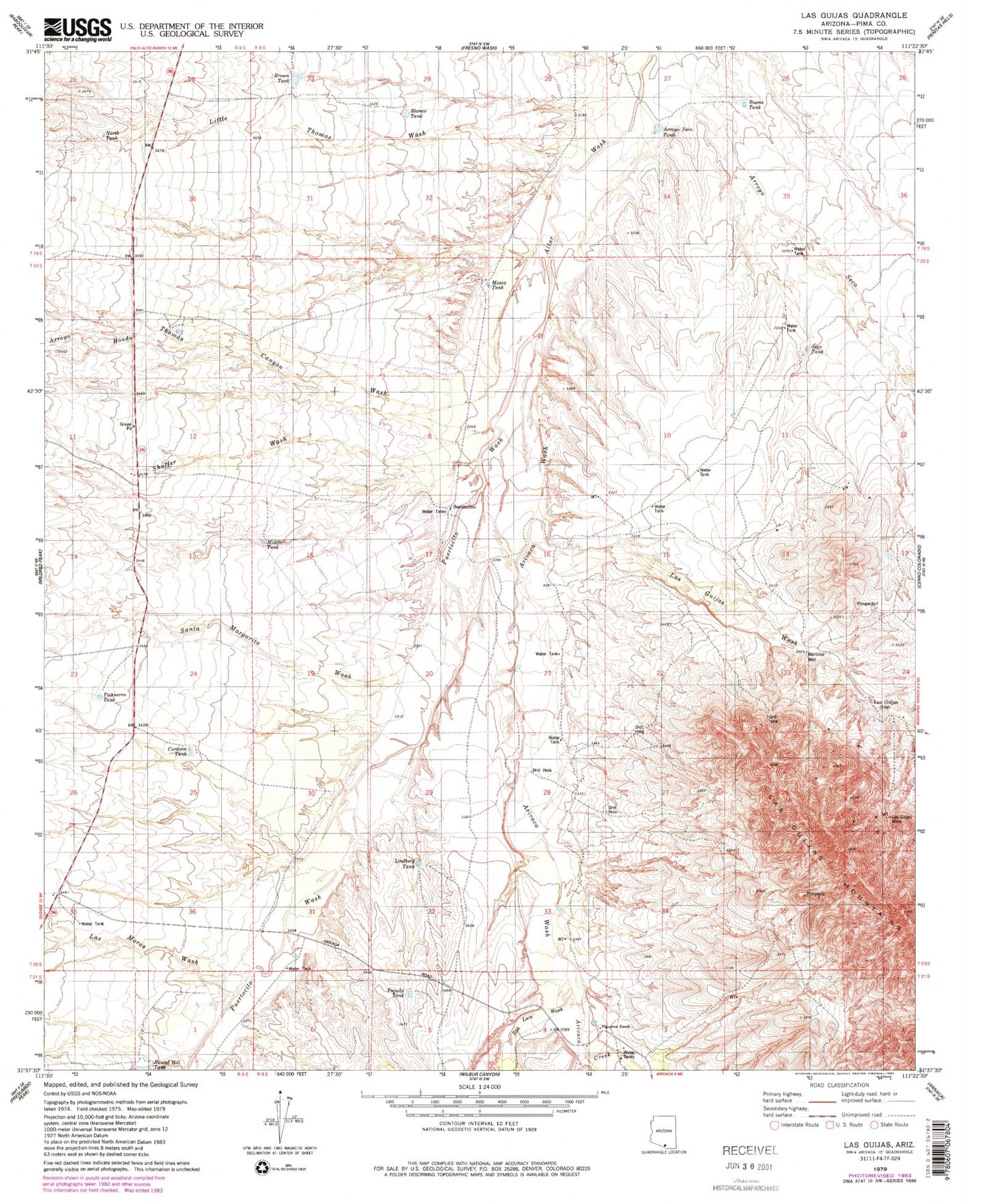
Classic USGS Las Guijas Arizona 7.5'x7.5' Topo Map
Couldn't load pickup availability
Historical USGS topographic quad map of Las Guijas in the state of Arizona. Map scale may vary for some years, but is generally around 1:24,000. Print size is approximately 24" x 27"
This quadrangle is in the following counties: Pima.
The map contains contour lines, roads, rivers, towns, and lakes. Printed on high-quality waterproof paper with UV fade-resistant inks, and shipped rolled.
Contains the following named places: Arivaca Creek, Arivaca Wash, Arroyo Hondo, Arroyo Seco Tank, Blanco Tank, Boice Tank, Brown Tank, Buena Tank, Buenos Aires National Wildlife Refuge, Cordova Tank, Figueroa Ranch, Las Guijas, Las Guijas Mine, Las Guijas Wash, Las Guijas Well, Las Moras Wash, Lindberg Tank, Little Thomas Wash, Martinez Well, Middle Tank, Mosca Tank, North Tank, Puertocito Wash, San Luis Wash, Santa Margarita Wash, Seco Tank, Secundino, Secundino Well, Shaffer Wash, Tequila Tank, Thomas Canyon Wash, Tiohuerro Tank