MyTopo
Classic USGS Las Islas Ranch Texas 7.5'x7.5' Topo Map
Couldn't load pickup availability
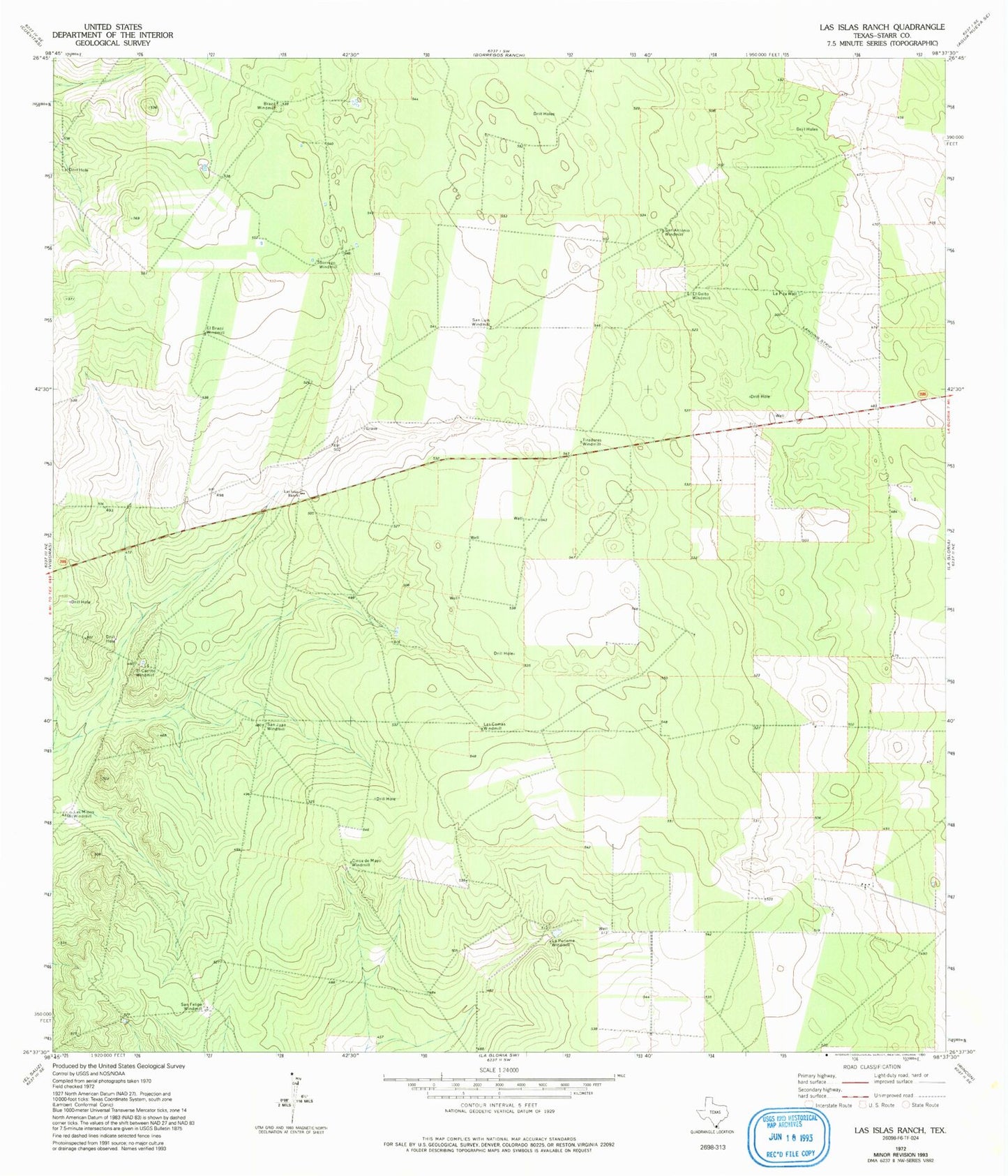
Historical USGS topographic quad map of Las Islas Ranch in the state of Texas. Map scale may vary for some years, but is generally around 1:24,000. Print size is approximately 24" x 27"
This quadrangle is in the following counties: Starr.
The map contains contour lines, roads, rivers, towns, and lakes. Printed on high-quality waterproof paper with UV fade-resistant inks, and shipped rolled.
Contains the following named places: Borrego Windmill, Brazil Windmill, Cinca de Mayo Windmill, El Brazil Windmill, El Cerrito Windmill, El Golto Windmill, La Pita Well, La Purisma Windmill, Las Comas Windmill, Las Islas Ranch, Las Minas Windmill, San Antonio Windmill, San Felipe Windmill, San Juan Windmill, San Luis Windmill, Tiradores Windmill