MyTopo
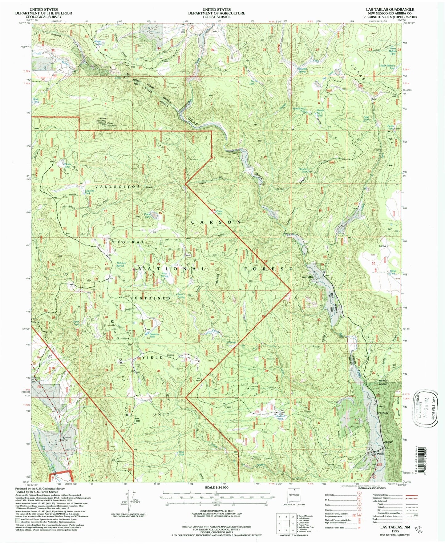
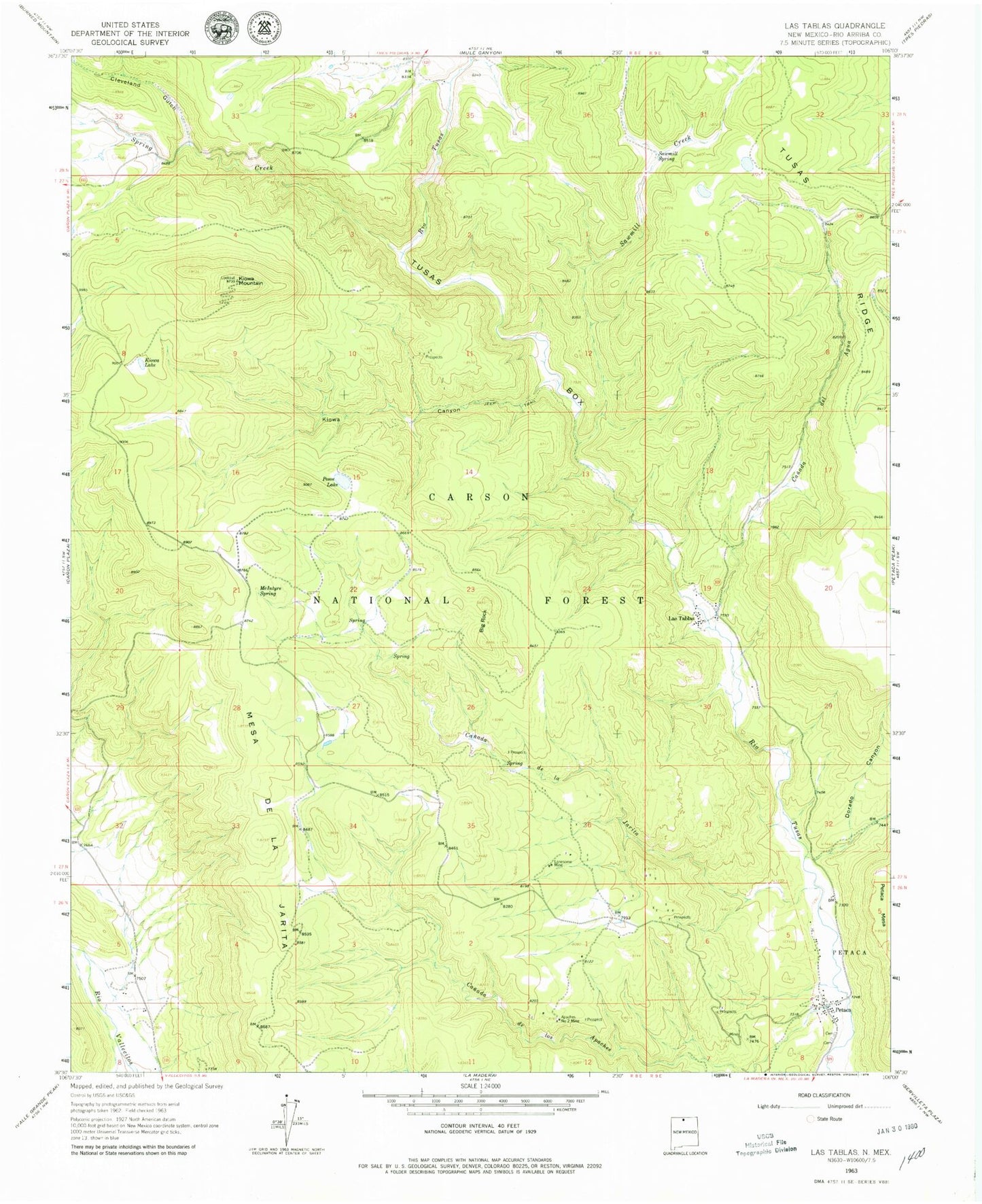
Classic USGS Las Tablas New Mexico 7.5'x7.5' Topo Map
Couldn't load pickup availability
Historical USGS topographic quad map of Las Tablas in the state of New Mexico. Typical map scale is 1:24,000, but may vary for certain years, if available. Print size: 24" x 27"
This quadrangle is in the following counties: Rio Arriba.
The map contains contour lines, roads, rivers, towns, and lakes. Printed on high-quality waterproof paper with UV fade-resistant inks, and shipped rolled.
Contains the following named places: Apaches Number Two Mine, Big Rock, Canada de los Apaches, Canada del Agua, Canada Spring de la Jarita, Cleveland Gulch, Dorado Canyon, Kiowa Canyon, Kiowa Lake, Kiowa Mountain, Las Tablas, Lonesome Mine, McIntyre Spring, Mesa de la Jarita, Petaca, Posos Lake, Sawmill Creek, Sawmill Spring, Spring Creek, Tusas Box, Sty Tank, Dry Lakes, North Malpais Tank, Abeyta Lake, Hondo Number One Tank, South Malpais Tank, Agua Tank, Parish Tank, Hondo Canyon, Hondito Tank, Hondito Canyon, Kiowa Mountain Lookout, Lagunita Tank, Posos Tank, Benjamin Tank, Noria Tank, Burma Trick Tank, Miller Tank, Alire Spring, Poso Spring, Pena Tank, Sandoval Tank, Red Mesa, Johnny Williams Prospect, Junipur, Kiawa Mountain Molybdenite Prospect, King, Kiowa View 1, Kiowa View 3, Trail Prospect Pits, Maulsby, Alma, Wyoming Prospect, Mary, Wagon Road Prospects, Silver Spur, South Kiawa, Tusas River Canyon Prospects, Saint Christopher Columbite Plate, Saint Joseph, Silver Plate, Vallecitos Deposit Number Two, Veseley, Wagon Road Deposits, Sumner, Sandoval, Wyoming, Kiowa View IV, Kiowa View V, La Jarita, Keystone Prospect, Keystone-Western, Kiawa Mine, Jersey Cream, Malpais Canyon, Petaca Post Office (historical), Las Tablas Post Office (historical), Vestegard Mine, Werner Mine, Teddy Number Two Mine, Werner Mine, White Mine, Carson National Forest, Hondo Number Two Tank, Petaca Post Office


