MyTopo
Classic USGS Las Yeguas Ranch California 7.5'x7.5' Topo Map
Regular price
$16.95
Regular price
Sale price
$16.95
Unit price
per
Couldn't load pickup availability
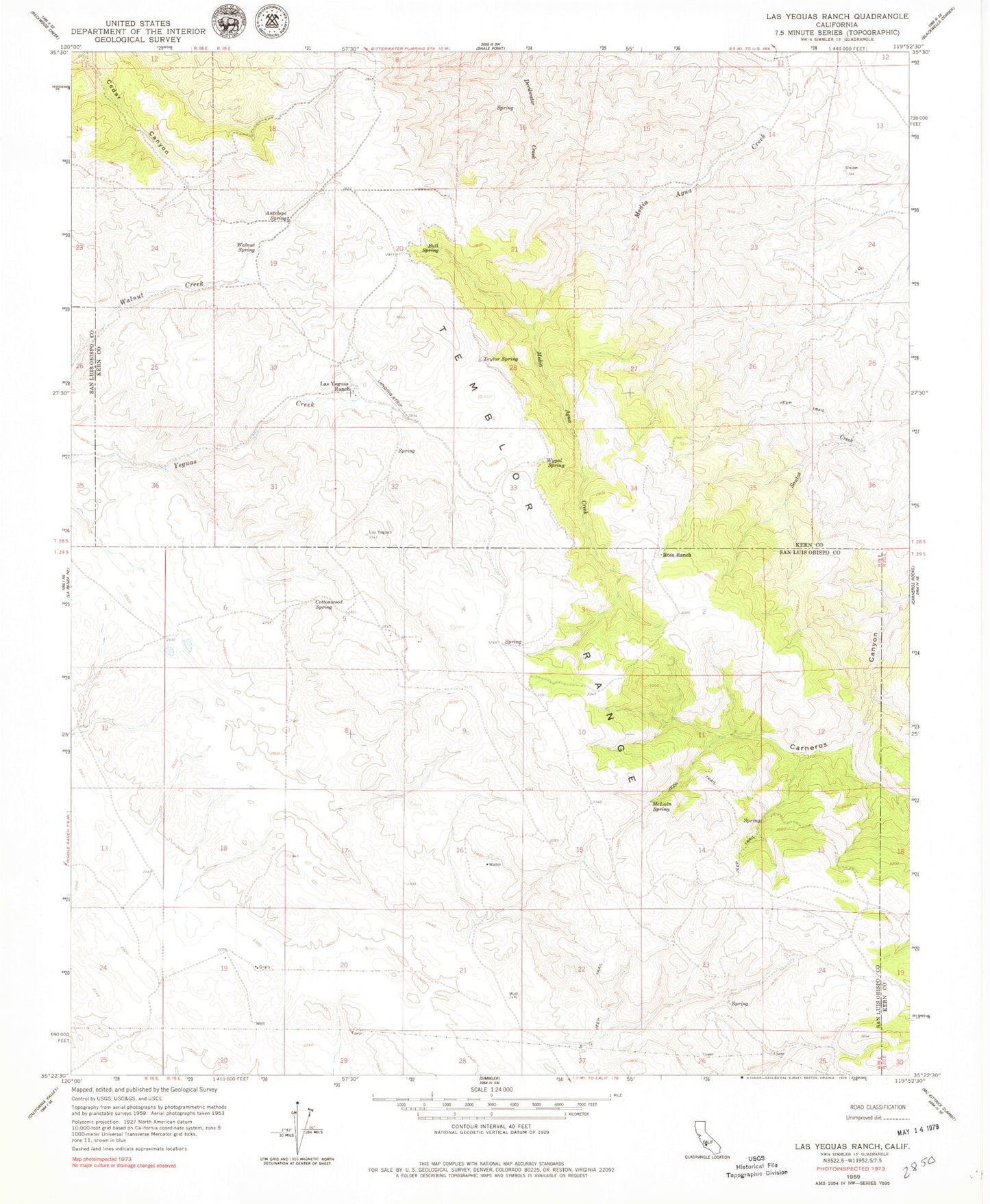
Historical USGS topographic quad map of Las Yeguas Ranch in the state of California. Map scale may vary for some years, but is generally around 1:24,000. Print size is approximately 24" x 27"
This quadrangle is in the following counties: Kern, San Luis Obispo.
The map contains contour lines, roads, rivers, towns, and lakes. Printed on high-quality waterproof paper with UV fade-resistant inks, and shipped rolled.
Contains the following named places: Antelope Spring, Bull Spring, Cottonwood Spring, Joe Santos Ranch, Las Yeguas Ranch, McLain Spring, Ross Ranch, Taylor Spring, Walnut Spring, Wolforts, Wygal Spring