MyTopo
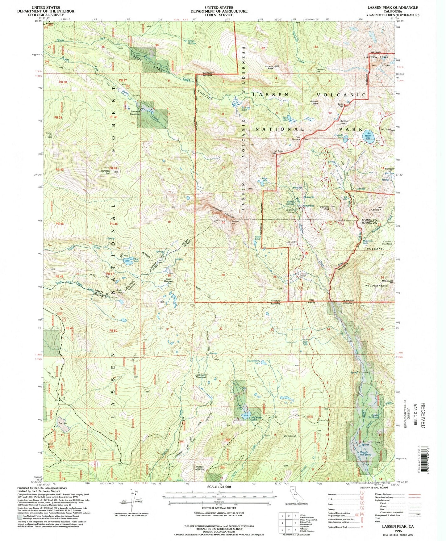
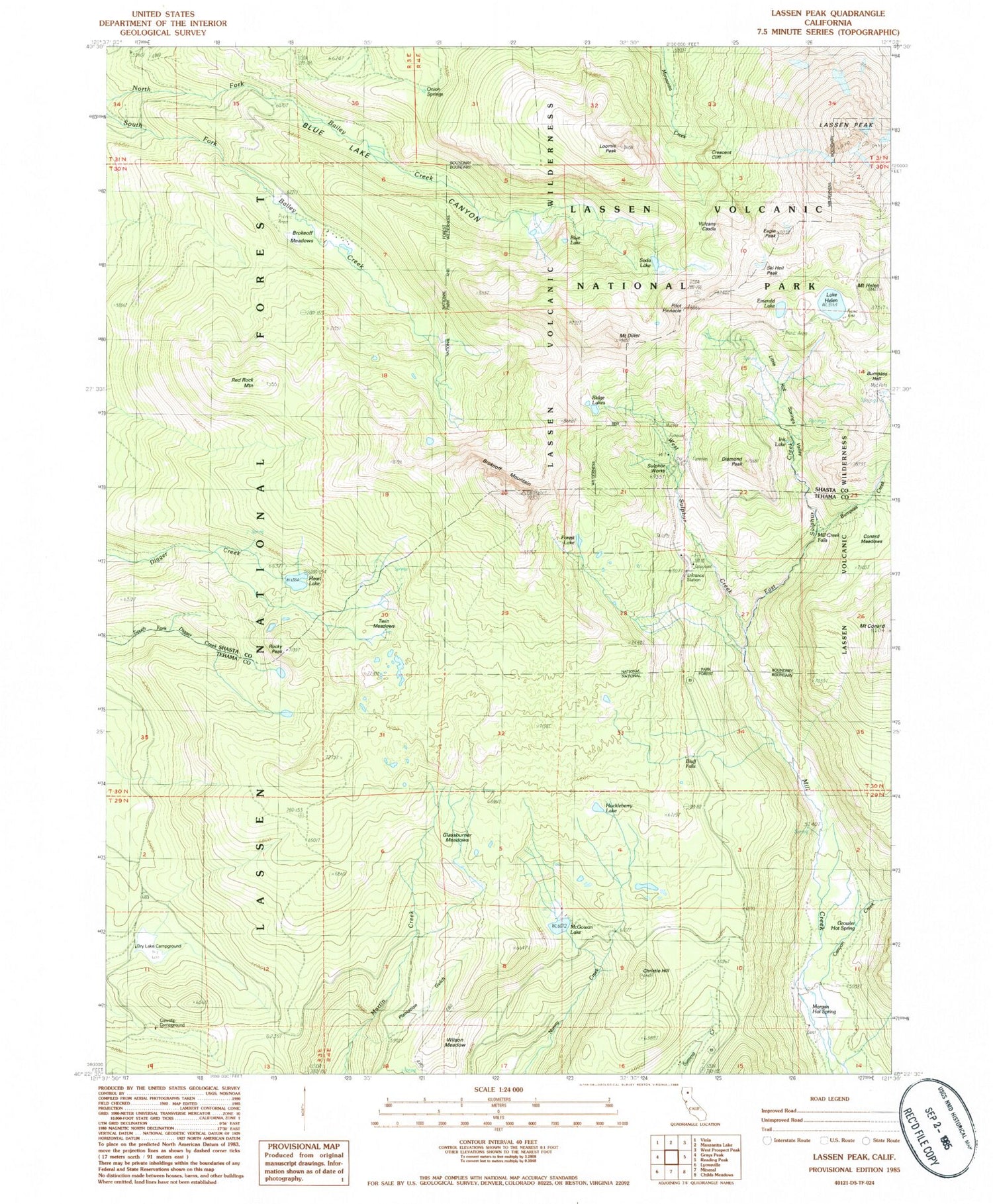
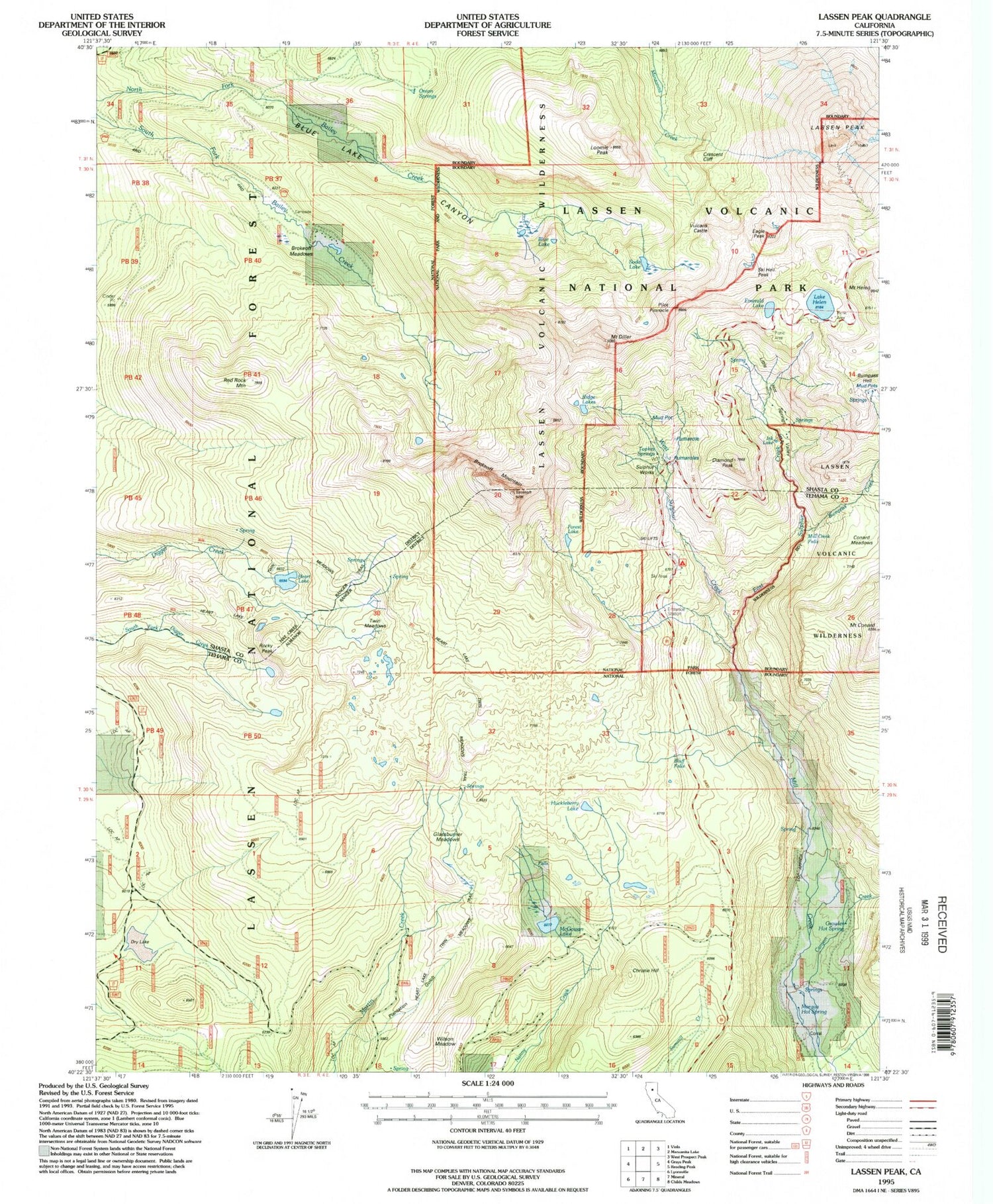
USGS Classic Lassen Peak California 7.5'x7.5' Topo Map
Couldn't load pickup availability
Historical USGS topographic quad map of Lassen Peak in the state of California. Scale: 1:24000. Print size: 24" x 27"
This quadrangle is in the following counties: Shasta, Tehama.
The map contains contour lines, roads, rivers, towns, lakes, and grids including latitude / longitude and UTM / MGRS. Printed on high-quality waterproof paper with UV fade-resistant inks.
Contains the following named places: Heart Lake, Tophet Springs, Blue Lake, Bluff Falls, Bluff Falls Campground, Brokeoff Meadows, Brokeoff Mountain, Bumpass Hell, Canyon Creek, Christie Hill, Conard Meadows, Mount Conard, Cowslip Campground, Crescent Cliff, Diamond Peak, Mount Diller, Dry Lake Campground, Eagle Peak, East Sulphur Creek, Emerald Lake, Forest Lake, Glassburner Meadows, Growler Hot Spring, Heart Lake, Heart Lake Twin Meadows Trail, Lake Helen, Huckleberry Lake, Ink Lake, Lassen Peak, Little Hot Springs Valley, Loomis Peak, McGowan Lake, Morgan Hot Spring, Onion Springs, Pilot Pinnacle, Plantation Gulch, Red Rock Mountain, Ridge Lakes, Rocky Peak, Soda Lake, Sulphur Works, Twin Meadows, West Sulphur Creek, Wilson Meadow, Ski Heil Peak, Vulcans Castle, Mill Creek Falls, Sulphur Works Checking Station (historical), Bumpass Hot Springs, Circle S Ranch, Supans Springs, Mineral Census Designated Place, Mount Helen


