MyTopo
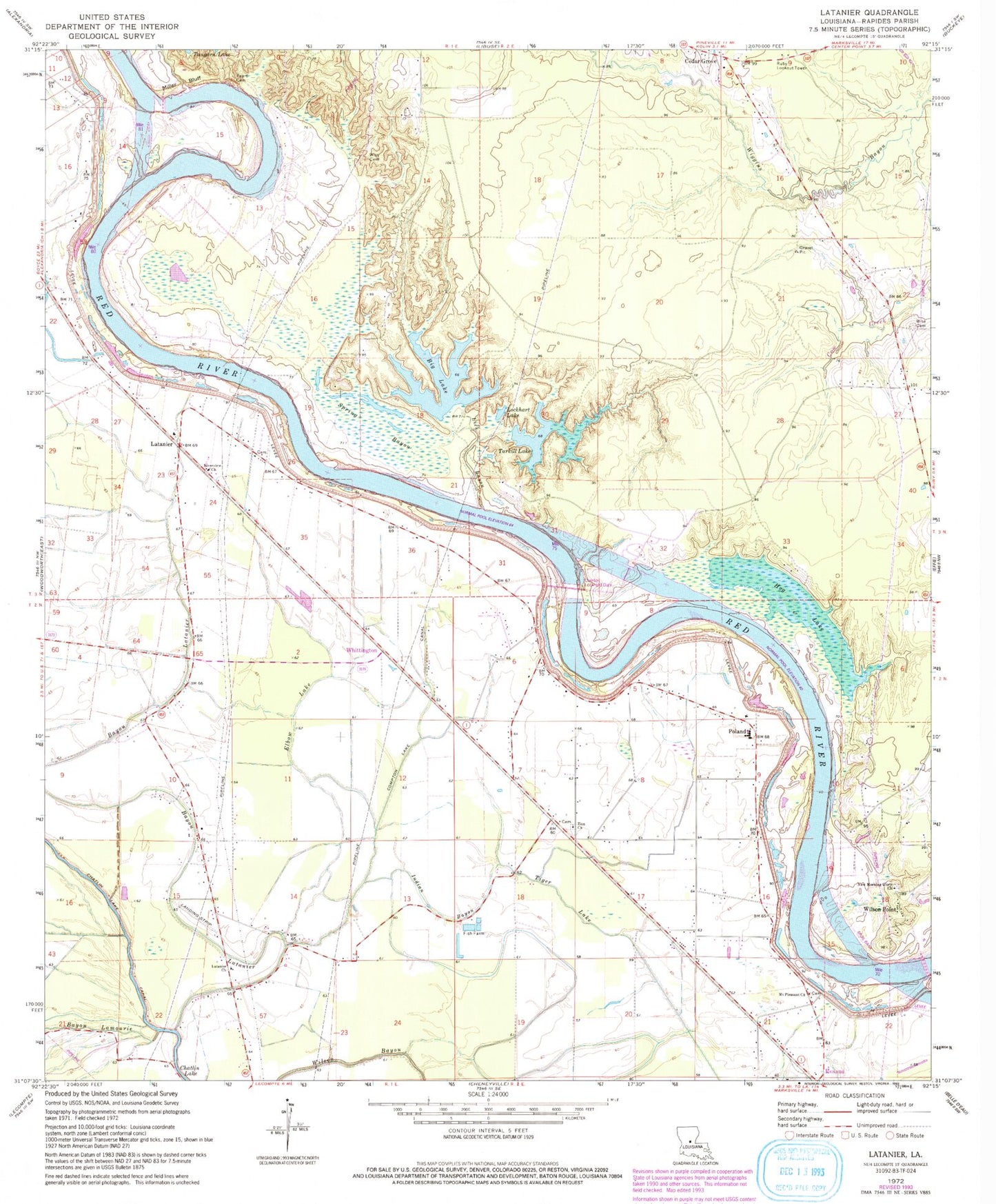
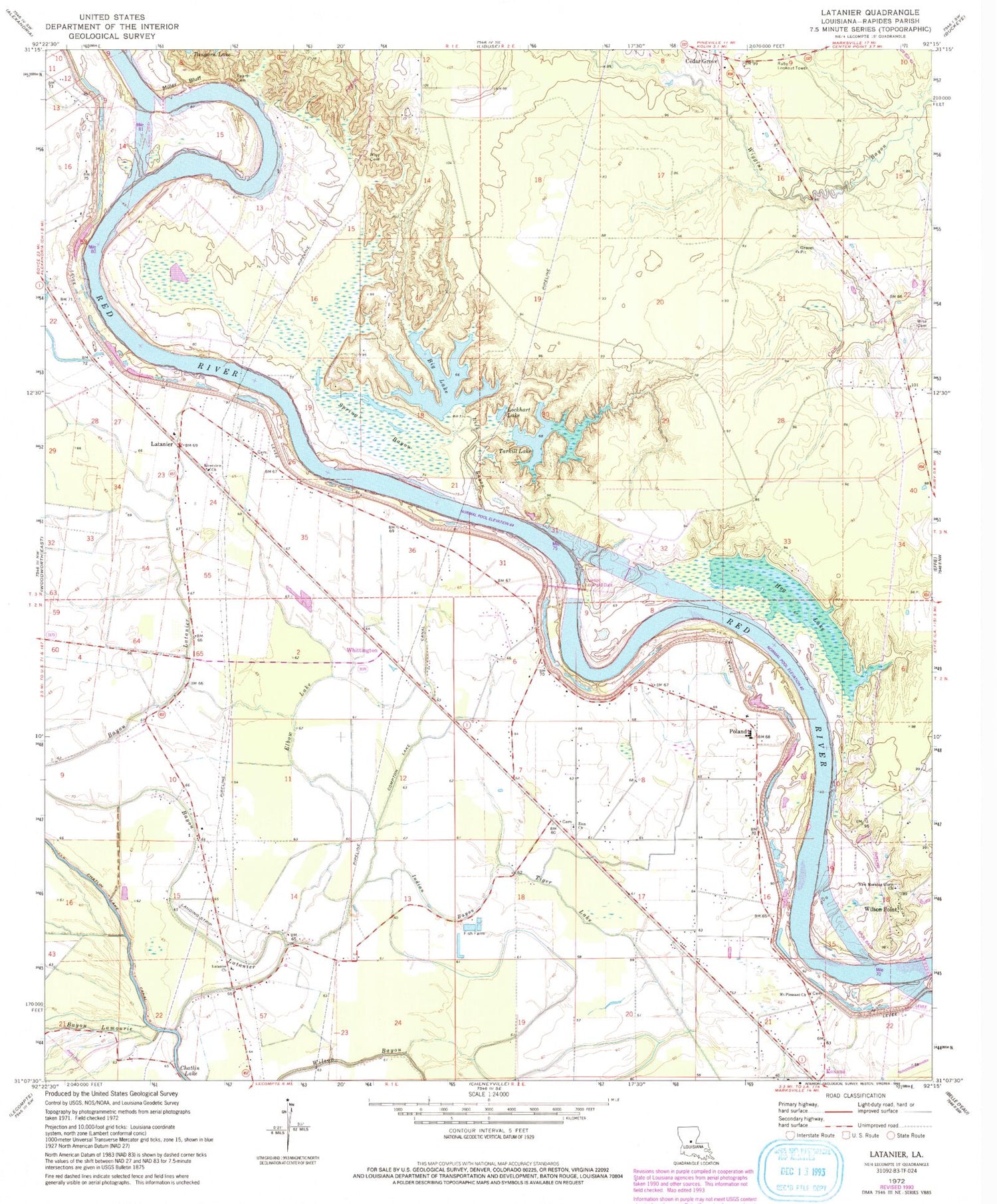
Classic USGS Latanier Louisiana 7.5'x7.5' Topo Map
Couldn't load pickup availability
Historical USGS topographic quad map of Latanier in the state of Louisiana. Map scale may vary for some years, but is generally around 1:24,000. Print size is approximately 24" x 27"
This quadrangle is in the following counties: Rapides.
The map contains contour lines, roads, rivers, towns, and lakes. Printed on high-quality waterproof paper with UV fade-resistant inks, and shipped rolled.
Contains the following named places: Bayou Lamourie, Bayou Latanier, Beaver Dam Landing, Big Lake, Bonnegent Landing, Cedar Grove, Chatlin Lake, Compton Lake, Compton Lake Canal, Creole Landing, Cummings Landing, D A Smith Landing, Dysant Landing, Echo - Poland Volunteer Fire Department Station 1, Echo - Poland Volunteer Fire Department Station 2, Echo - Poland Volunteer Fire Department Station 3, Elbow Lake, Gum Point Landing, Harris Ferry, Hog Lake, Indian Bayou, Jones Quarters Landing, Latanier, Latanier Church, Latanier Landing, Latanier School, Lick Bayou, Lockhart Lake, Magda, Miller Bluff, Mount Pleasant Cemetery, Mount Pleasant Church, New Morning Glory Church, Overton Lock and Dam, Palo Alto Landing, Peart Cemetery, Pearts Landing, Poland, Poland Baptist Church, Poland High School, Poland Junior High School, Richland, Riverview Baptist Church, Rodgers Landing, Ruby Lookout Tower, Rush Landing, Saint Lukes Church, Saint Marks Church, Smith Landing, Spring Bayou, Stonewall Landing, Stonewalls, Tarkill Lake, Tiger Lake, Whittington, Wilson Bayou, Wilson Point, Wilsons Ferry, Wise Cemetery, Wise Chapel, Wises, Wises Landing, Zion Church, ZIP Code: 71302


