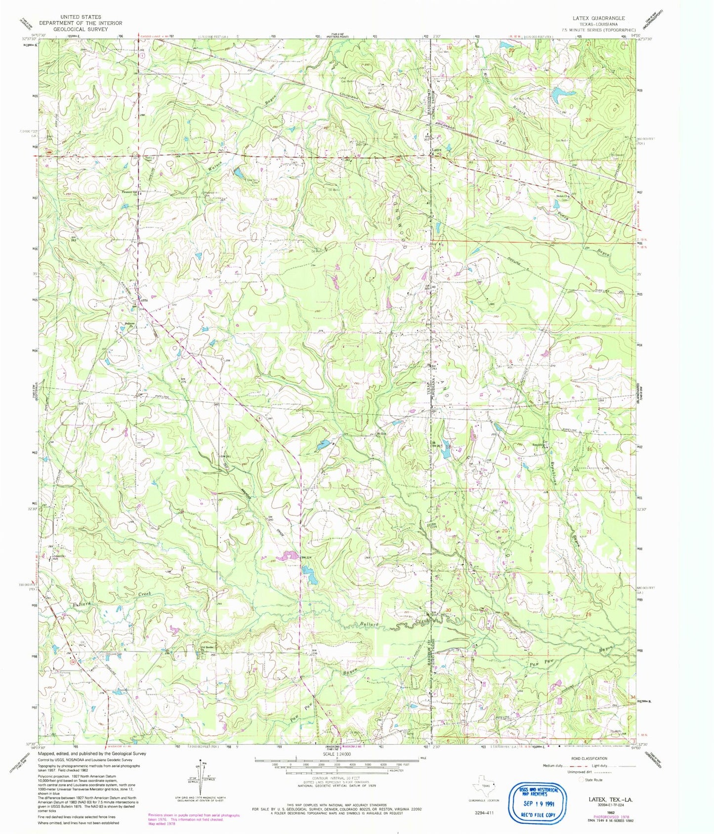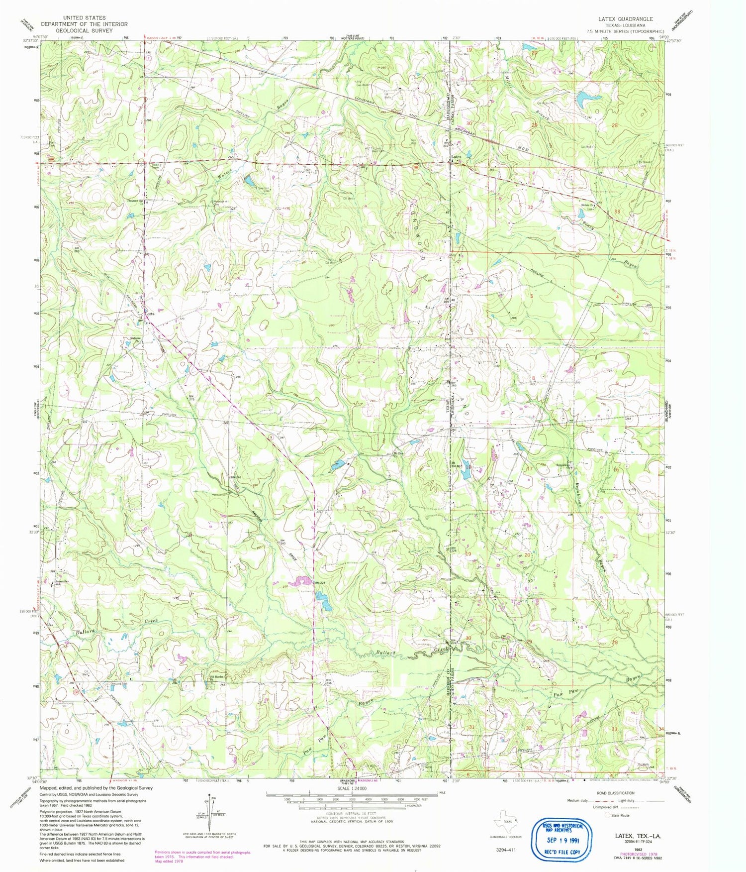
MyTopo
Classic USGS Latex Texas 7.5'x7.5' Topo Map
Couldn't load pickup availability
Historical USGS topographic quad map of Latex in the states of Texas, Louisiana. Map scale may vary for some years, but is generally around 1:24,000. Print size is approximately 24" x 27"
This quadrangle is in the following counties: Caddo, Harrison.
The map contains contour lines, roads, rivers, towns, and lakes. Printed on high-quality waterproof paper with UV fade-resistant inks, and shipped rolled.
Contains the following named places: Bullard Creek, Concord Cemetery, Coushatta Spring, Davis Cemetery, Davis Chapel School, Dean Cemetery, Holiness Church, Jefferson Forks School, Jonesville School, Latex, Longwood Oil and Gas Field, Lotta, McDonald Cemetery, Mount Zion Church, Old Border Church, Pleasant Hill Cemetery, Pleasant Hill Church, Republican Baptist Church, Shiloh Baptist Church, Shiloh School, Swanson Cemetery