MyTopo
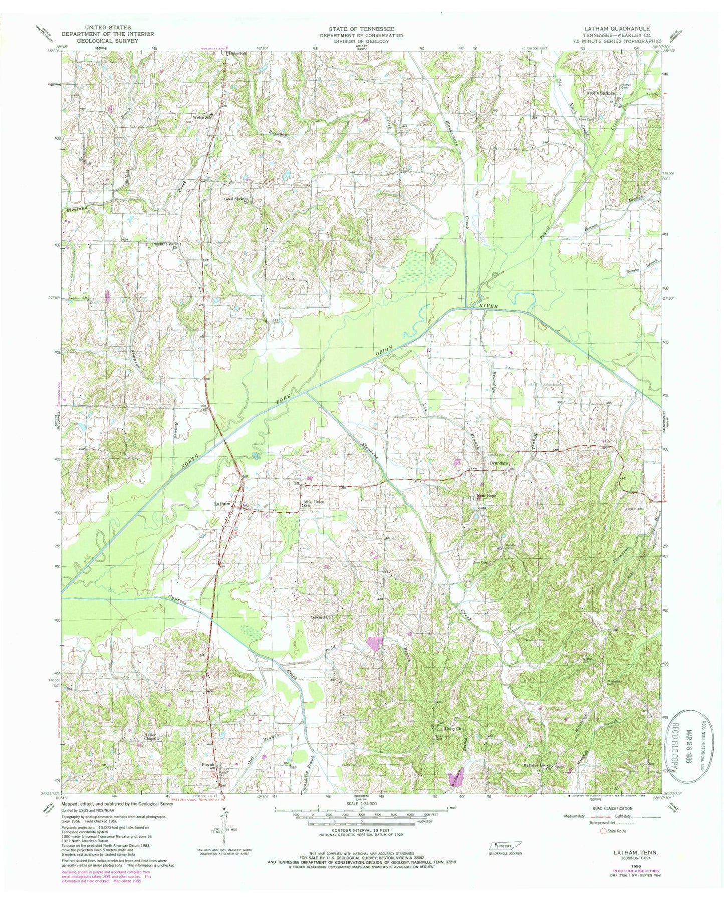
Classic USGS Latham Tennessee 7.5'x7.5' Topo Map
Couldn't load pickup availability
Historical USGS topographic quad map of Latham in the state of Tennessee. Map scale may vary for some years, but is generally around 1:24,000. Print size is approximately 24" x 27"
This quadrangle is in the following counties: Weakley.
The map contains contour lines, roads, rivers, towns, and lakes. Printed on high-quality waterproof paper with UV fade-resistant inks, and shipped rolled.
Contains the following named places: Acree Cemetery, Austin Springs, Benson Branch, Bible Union Church of Christ, Biggs Creek, Blackamore Creek, Brundige, Brundige Branch, Brundige School, Calvary Missionary Baptist Church, Chestnut Glade-Dukedom Division, Commissioner District 1, Concord Cemetery, Concord Church, Cypress Creek Number Three Dam, Cypress Creek Number Three Lake, Cypress Creek Number Two Dam, Cypress Creek Number Two Lake, Cypress Creek Watershed Dam One, Cypress Creek Watershed Lake One, Donoho Branch, Dukedom Census Designated Place, Dunn Cemetery, Eaves Cemetery, Good Springs Cemetery, Good Springs Church, Good Springs School, Griffith Cemetery, Hatler Cemetery, Hatler Chapel, Hatlers Chapel Cemetery, Latham, Latham Volunteer Fire Department, Lea Branch, Lea Harris Cemetery, Lone Oak School, Matheny Grove, Matheny Grove Cemetery, Matheny Grove Church, Maxey Cemetery, McNabb Branch, Murrell Cemetery, New Hope Cemetery, New Hope Church, Old Knob Creek, Owl Branch, Parrish Cemetery, Pisgah, Pisgah Cemetery, Pisgah Methodist Church, Pisgah School, Pleasant View Cemetery, Pleasant View Church, Powell Creek, Raccoon Creek, Simpson Branch, Stephens Creek, Stouts Store, Stow Cemetery, Strawberry Branch, Thompson Cemetery, Thompson School, Todd Branch, Unity Cemetery, Unity Church, Welsh School, Winstead Cemetery, ZIP Code: 38226


