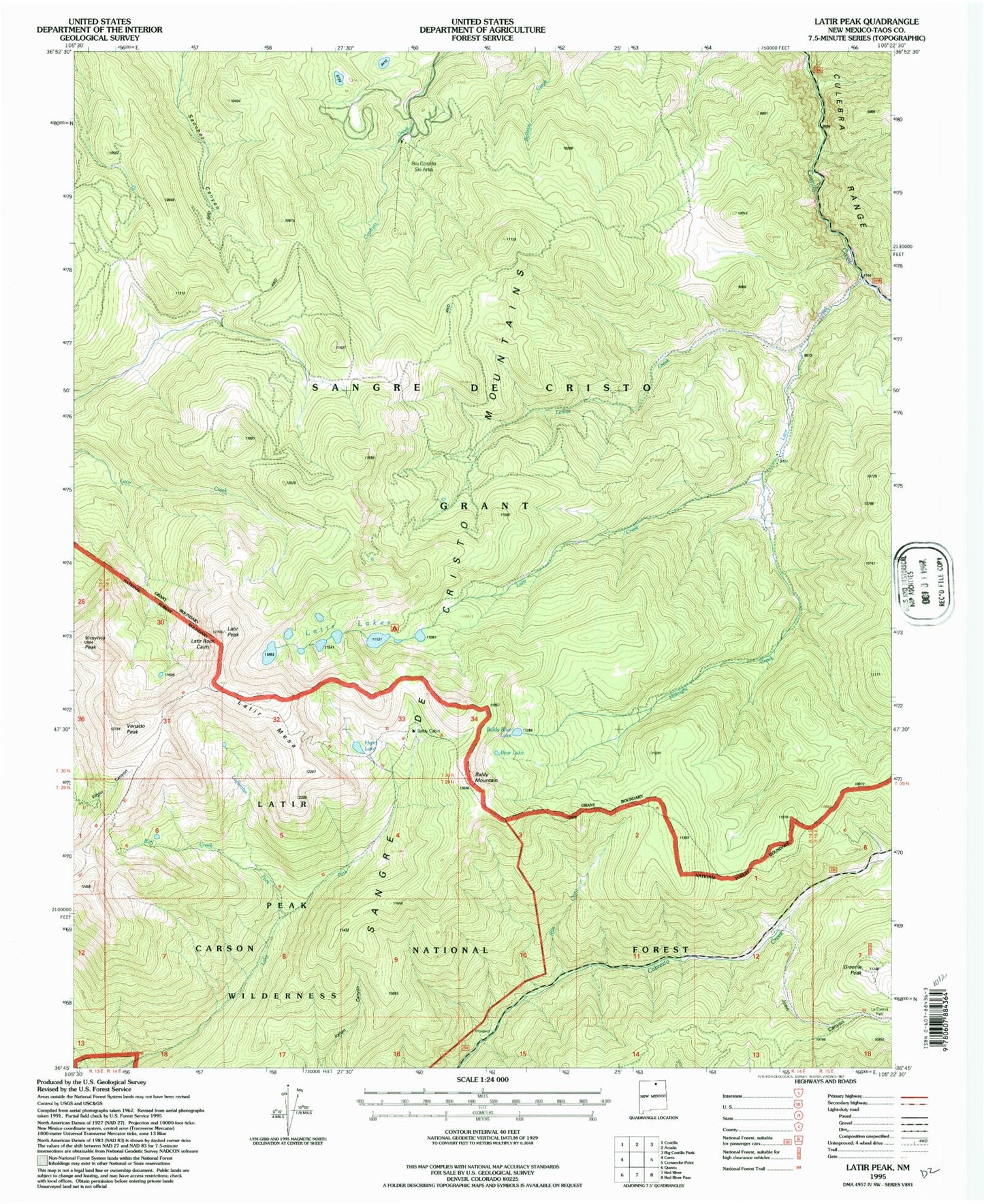
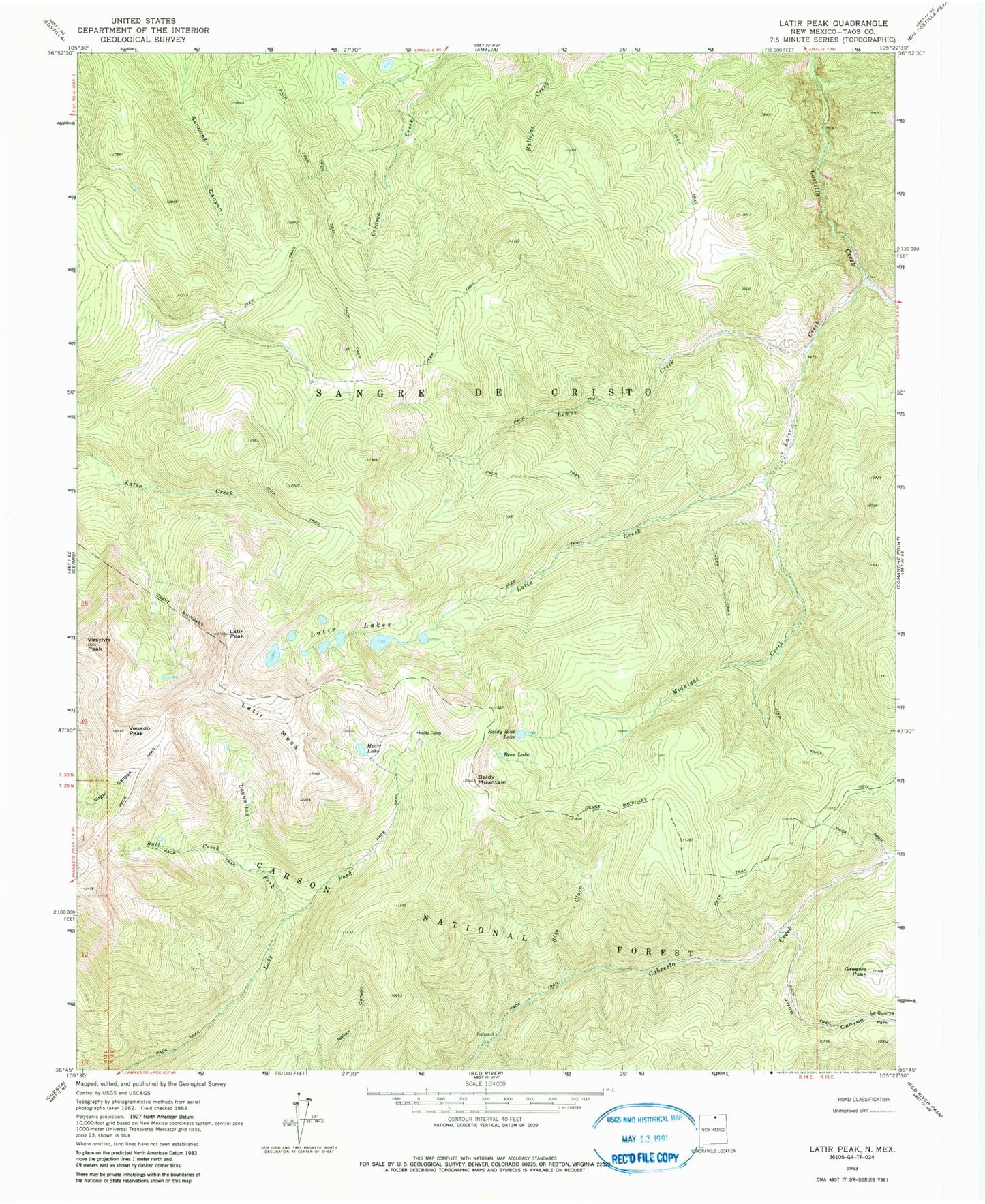
MyTopo
Classic USGS Latir Peak New Mexico 7.5'x7.5' Topo Map
Couldn't load pickup availability
Historical USGS topographic quad map of Latir Peak in the state of New Mexico. Typical map scale is 1:24,000, but may vary for certain years, if available. Print size: 24" x 27"
This quadrangle is in the following counties: Taos.
The map contains contour lines, roads, rivers, towns, and lakes. Printed on high-quality waterproof paper with UV fade-resistant inks, and shipped rolled.
Contains the following named places: Rio Costilla Ski Area, South Latir Lake, Baldy Blue Lake, Baldy Cabin, Baldy Mountain, Bear Lake, Bull Creek, Greenie Peak, Heart Lake, Jiron Canyon, Lagunitas Fork, Latir Creek, Latir Lakes, Latir Mesa, Latir Peak, Lemos Creek, Midnight Creek, Rito Claro, Venado Peak, Virgin Canyon, Spanish Main Prospect, Latir Claim, Billy Goat Claim, Virsylvia Peak, Latir Rock Cairn, Baldy Peak Claim Mine, Questa Division