MyTopo
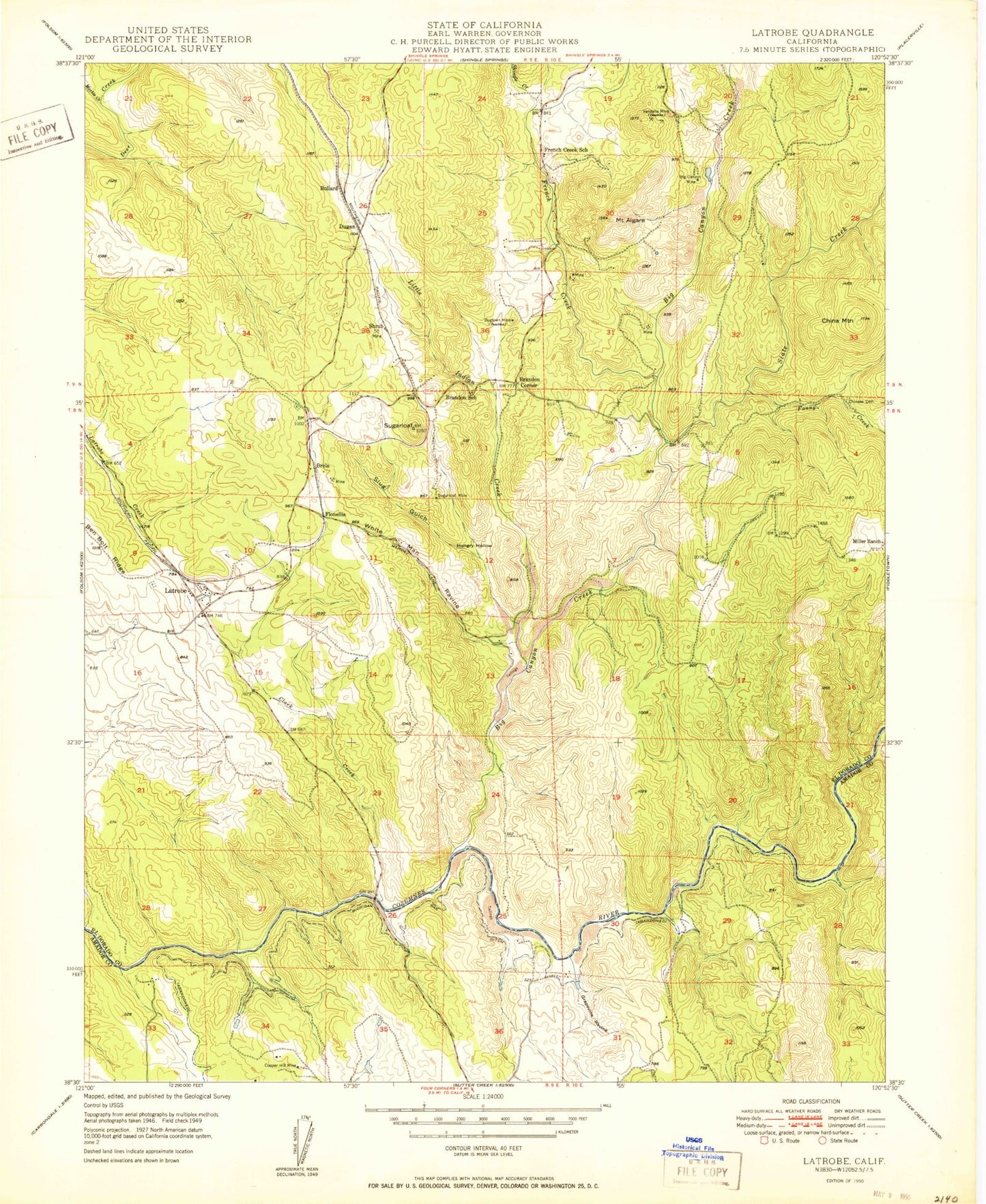
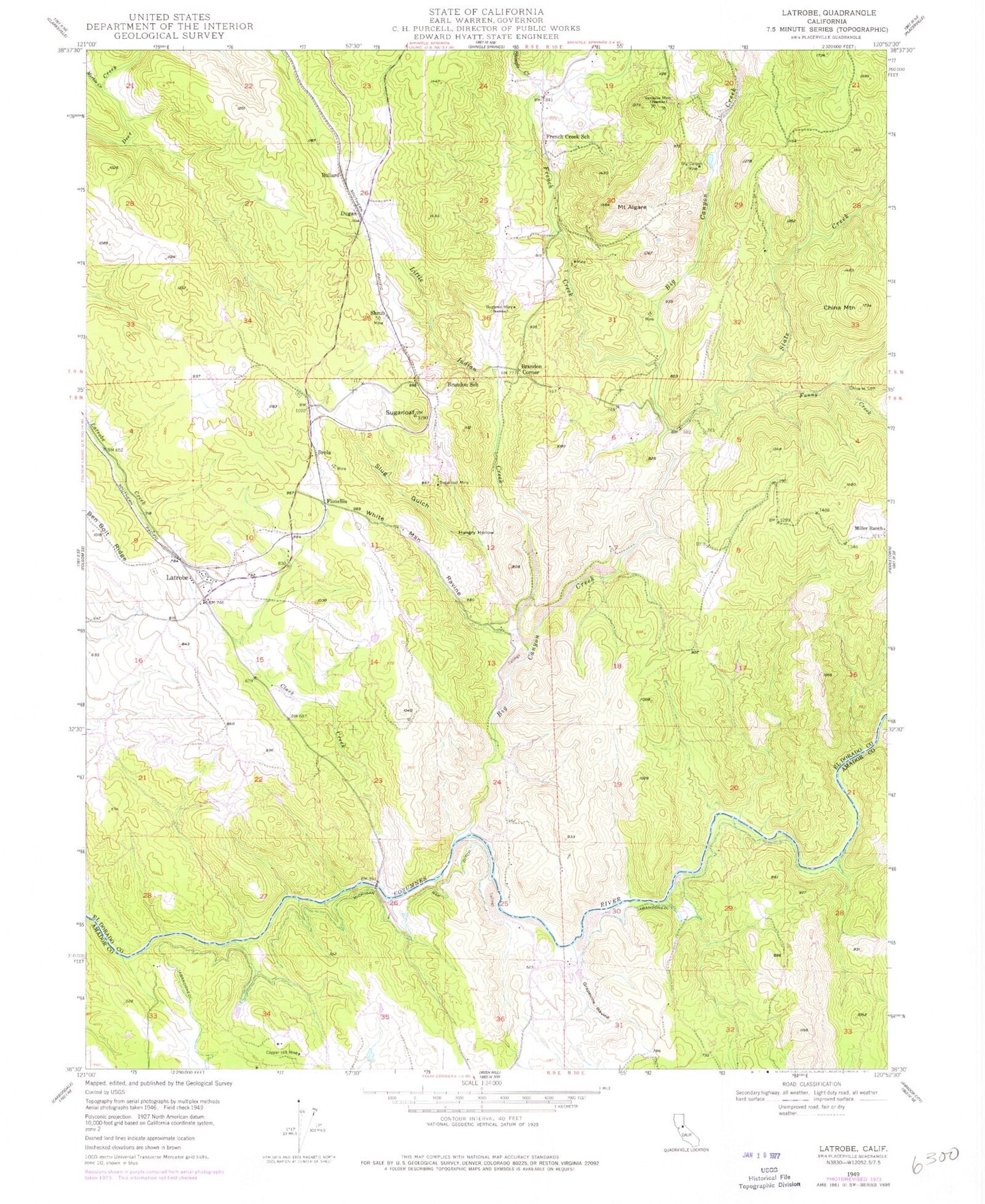
Classic USGS Latrobe California 7.5'x7.5' Topo Map
Couldn't load pickup availability
Historical USGS topographic quad map of Latrobe in the state of California. Map scale may vary for some years, but is generally around 1:24,000. Print size is approximately 24" x 27"
This quadrangle is in the following counties: Amador, El Dorado.
The map contains contour lines, roads, rivers, towns, and lakes. Printed on high-quality waterproof paper with UV fade-resistant inks, and shipped rolled.
Contains the following named places: Big Canyon Creek, Big Canyon Creek 469 Dam, Big Canyon Mine, Brandon Corner, Brandon School, Brela, Bryant Cemetery, Bugtown Mine, Bullard, China Mountain, Chinese Cemetery, Clark Creek, Copper Hill Mine, Dugan, Fanny Creek, Flonellis, French Creek, French Creek School, Grapevine Ravine, Hungry Hollow, Latrobe, Latrobe Elementary School, Latrobe Fire Protection District Station 91, Little Indian Creek, Marble Creek, Marble Valley, Michigan Bar Ditch, Miller Ranch, Millers Hill School, Mount Aigare, Shingle Creek, Shrub, Slate Creek, Slug Gulch, Sugarloaf, Sugarloaf Mine, Vandalia Mine, White Man Ravine, ZIP Code: 95682