MyTopo
Classic USGS Lauer Reservoir California 7.5'x7.5' Topo Map
Couldn't load pickup availability
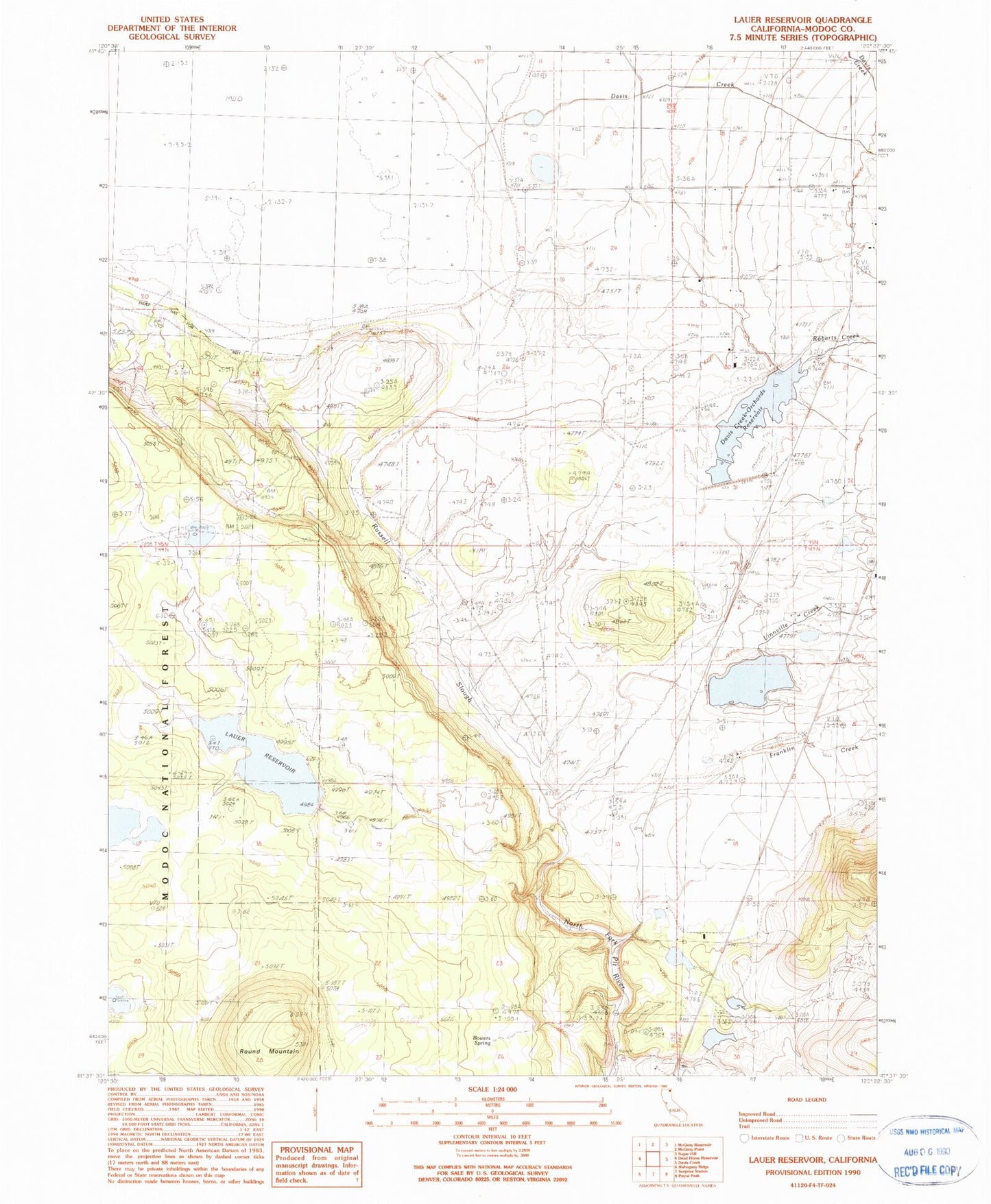
Historical USGS topographic quad map of Lauer Reservoir in the state of California. Map scale may vary for some years, but is generally around 1:24,000. Print size is approximately 24" x 27"
This quadrangle is in the following counties: Modoc.
The map contains contour lines, roads, rivers, towns, and lakes. Printed on high-quality waterproof paper with UV fade-resistant inks, and shipped rolled.
Contains the following named places: Bowers Spring, Clarke 174 Dam, Crowder Ranch, Curtis-Capik 128 Dam, Davis Creek Orchards 127-002 Dam, Davis Creek Orchards Reservoir, Franklin Creek, Lauer Dam, Lauer Reservoir, Leonard Johnson 173-002 Dam, Linnville Creek, Roberts Creek, Round Mountain, Russell Slough, Shedd 1121 Dam, Stock Tank 3