MyTopo
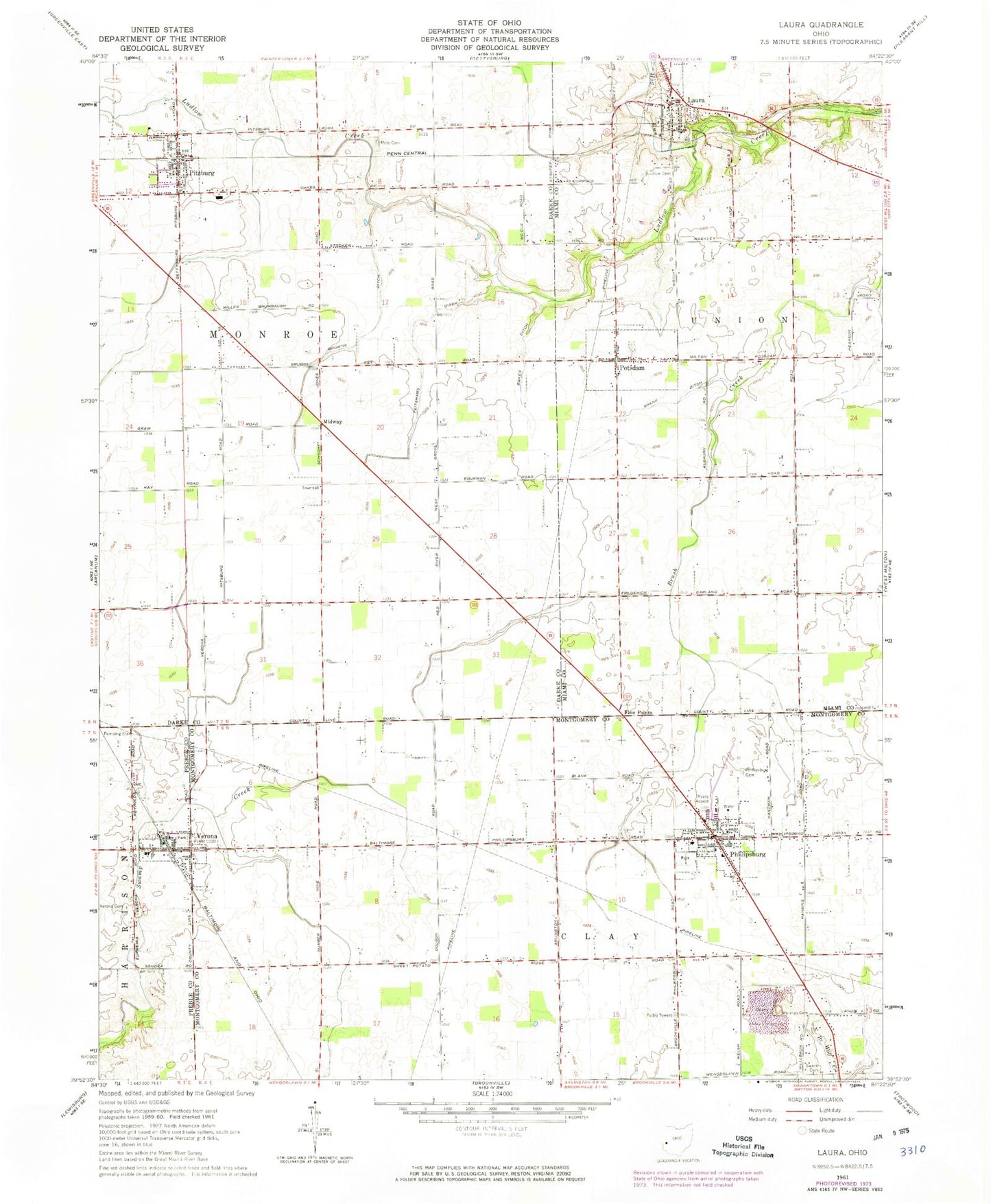
Classic USGS Laura Ohio 7.5'x7.5' Topo Map
Couldn't load pickup availability
Historical USGS topographic quad map of Laura in the state of Ohio. Map scale may vary for some years, but is generally around 1:24,000. Print size is approximately 24" x 27"
This quadrangle is in the following counties: Darke, Miami, Montgomery, Preble.
The map contains contour lines, roads, rivers, towns, and lakes. Printed on high-quality waterproof paper with UV fade-resistant inks, and shipped rolled.
Contains the following named places: Baker Ditch, Browns Ditch, Dayton-Phillipsburg Airport, Dyers Farm, Emanuel Lutheran Church, Feitshams Ditch, Five Points, Franklin-Monroe High School, Grace Baptist Church, Hog Run, Jif Farms, Laura, Laura Fire Company, Laura Post Office, Laura United Church of Christ, Laura Wastewater Treatment Plant, Ludlow Church, Midway, Mote Cemetery, Old Ludlow Cemetery, Phillipsburg, Phillipsburg Cemetery, Phillipsburg Christian Cemetery, Phillipsburg Elementary School, Phillipsburg Fire Department, Phillipsburg Post Office, Phillipsburg Quarry, Phillipsburg United Methodist Church, Pitsburg, Pitsburg Church of the Brethren, Pitsburg Fire Department, Pitsburg Post Office, Pitsburg United Methodist Church, Potsdam, Potsdam Cemetery, Potsdam Church of the Brethren, Potsdam Missionary Church, Potsdam Post Office, Potsdam United Methodist Church, Rench Farm, Shank Ditch, Spitler Swine Farms, Swank Cemetery, Swigart Airport, Township of Clay, Township of Monroe, Tri-Country North Elementary School, Trinity Lutheran Church, Verona, Verona Cemetery, Verona Fire Department, Verona Post Office, Verona United Methodist Church, Village of Laura, Village of Phillipsburg, Village of Pitsburg, Village of Potsdam, Village of Verona, Worman Cemetery, ZIP Codes: 45337, 45354, 45358, 45361, 45378