MyTopo
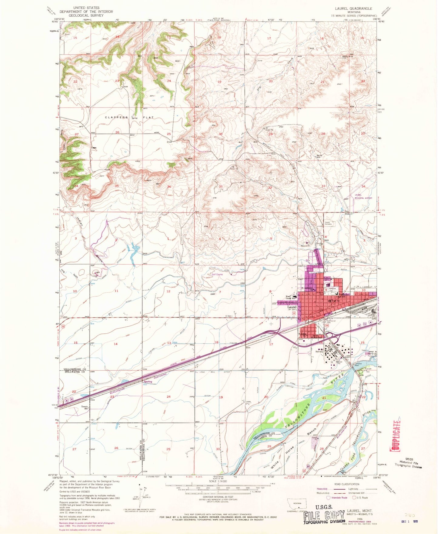
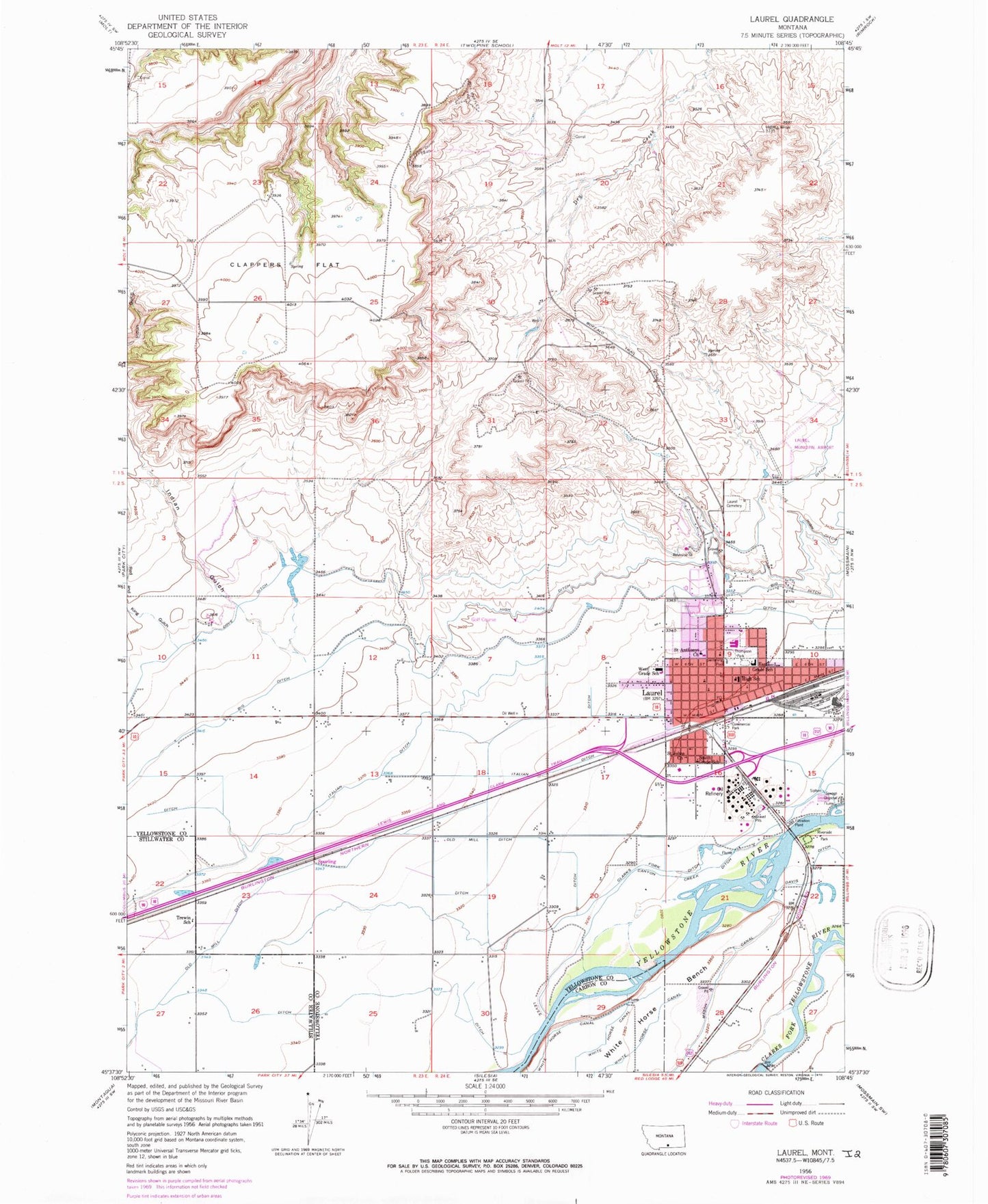
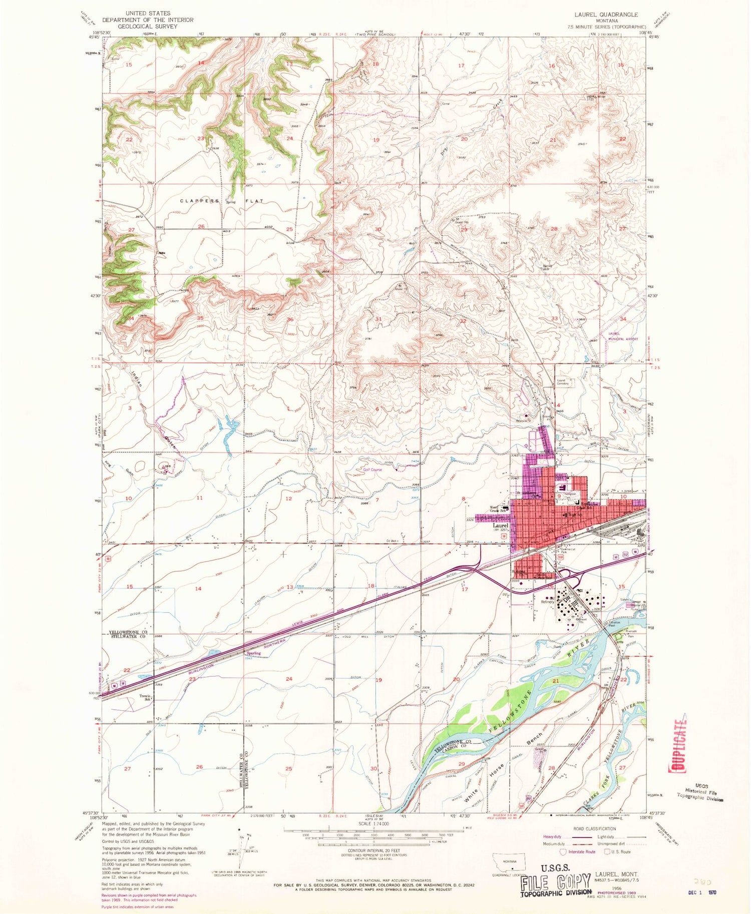
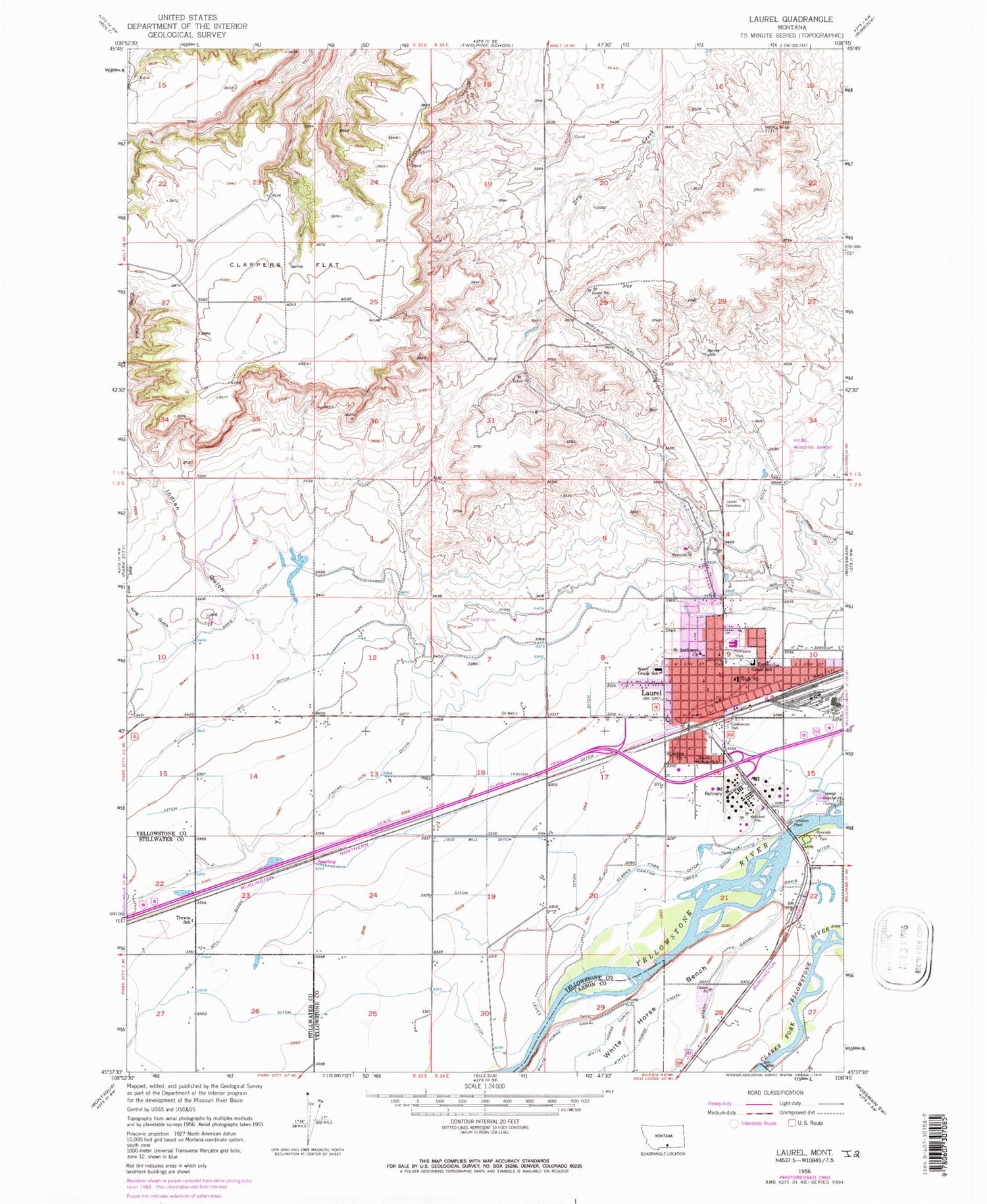
Classic USGS Laurel Montana 7.5'x7.5' Topo Map
Couldn't load pickup availability
Historical USGS topographic quad map of Laurel in the state of Montana. Map scale may vary for some years, but is generally around 1:24,000. Print size is approximately 24" x 27"
This quadrangle is in the following counties: Carbon, Stillwater, Yellowstone.
The map contains contour lines, roads, rivers, towns, and lakes. Printed on high-quality waterproof paper with UV fade-resistant inks, and shipped rolled.
Contains the following named places: 02S23E10CDDA01 Well, 02S23E11ADDC01 Well, 02S23E11DDDC01 Well, 02S23E12ADDC01 Well, 02S23E13CCBC01 Well, 02S23E15DDDA01 Well, 02S23E15DDDB01 Well, 02S23E22DDAD01 Well, 02S23E24CCCC01 Well, 02S23E25DABD01 Well, 02S23E26CCCC01 Well, 02S23E26DDAC01 Well, 02S24E03CCCB01 Well, 02S24E04BCAA01 Well, 02S24E06DDCD01 Well, 02S24E07D___01 Well, 02S24E08BBBC01 Well, 02S24E08CCBC01 Well, 02S24E09BBCC01 Well, 02S24E15BBCC01 Well, 02S24E16CBDA01 Well, 02S24E16DDAD01 Well, 02S24E18BCBC01 Well, 02S24E18DDDB01 Well, 02S24E18DDDC01 Well, 02S24E19BBBC01 Well, 02S24E19DAAA01 Well, 02S24E20ABAD01 Well, 02S24E22CBBD01 Well, 02S24E28ACAB01 Well, 02S24E28ACDA01 Well, 02S24E29ACDD01 Well, Big Ditch, Bill Bartley Trail, CHS Industrial Fire Department, City of Laurel, Clappers Flat, Clarks Fork Ditch, Cottonwood Airport, Fly WM Airport, Fred W Graff Elementary School, John Dunn Trail, KBSR-AM (Laurel), Laurel, Laurel Ambulance Service, Laurel Cemetery, Laurel City Police Department, Laurel Municipal Airport, Laurel Post Office, Laurel Volunteer Fire Department, Red and King Gulch, Saint Anthonys Church, Saint Johns Church, South Elementary School, Spurling, Thompson Park, Trewin School, West Elementary School, Yellowstone National Cemetery


