MyTopo
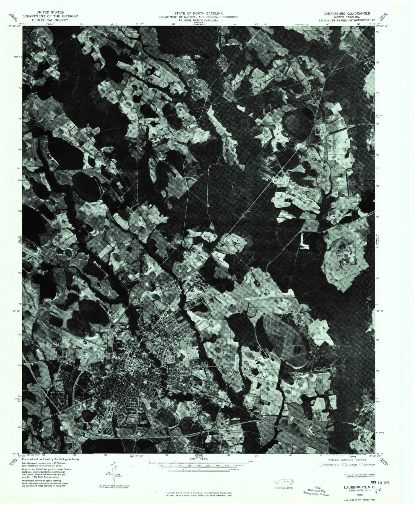
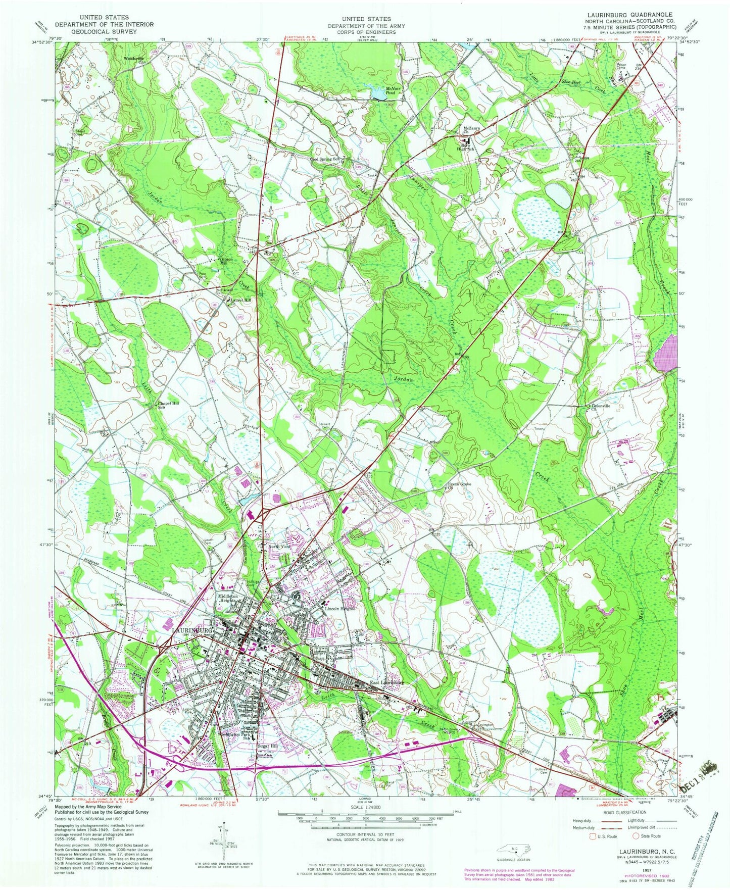
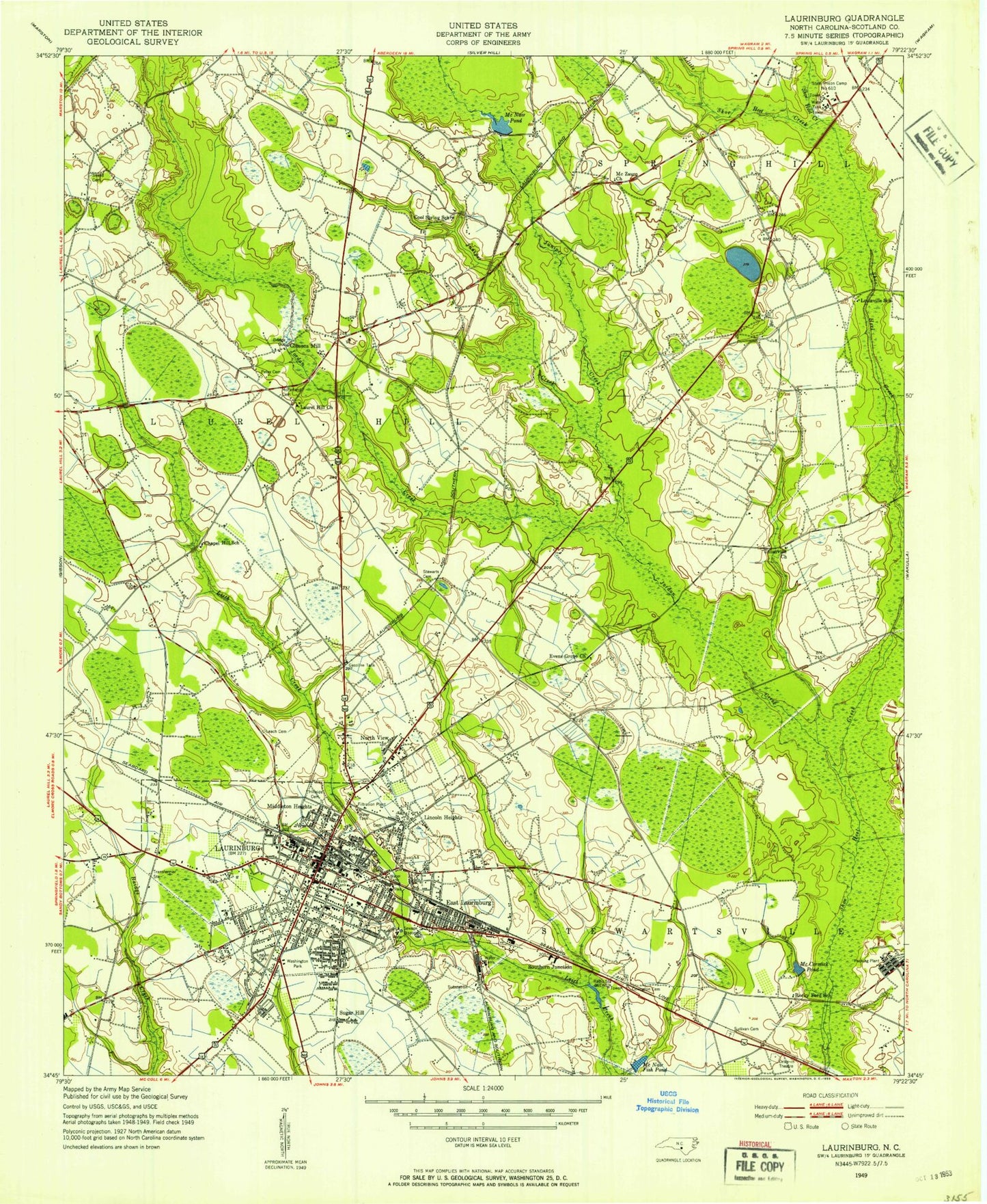
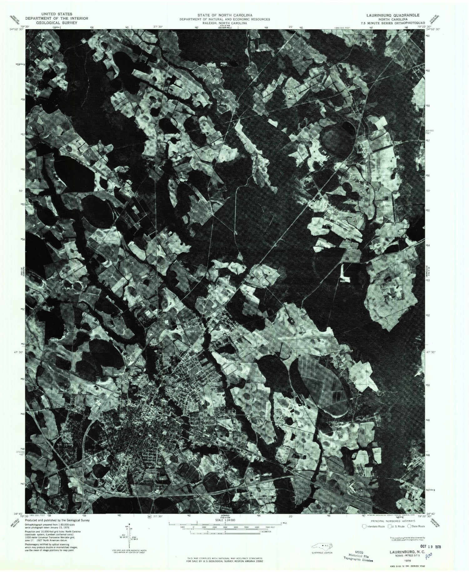
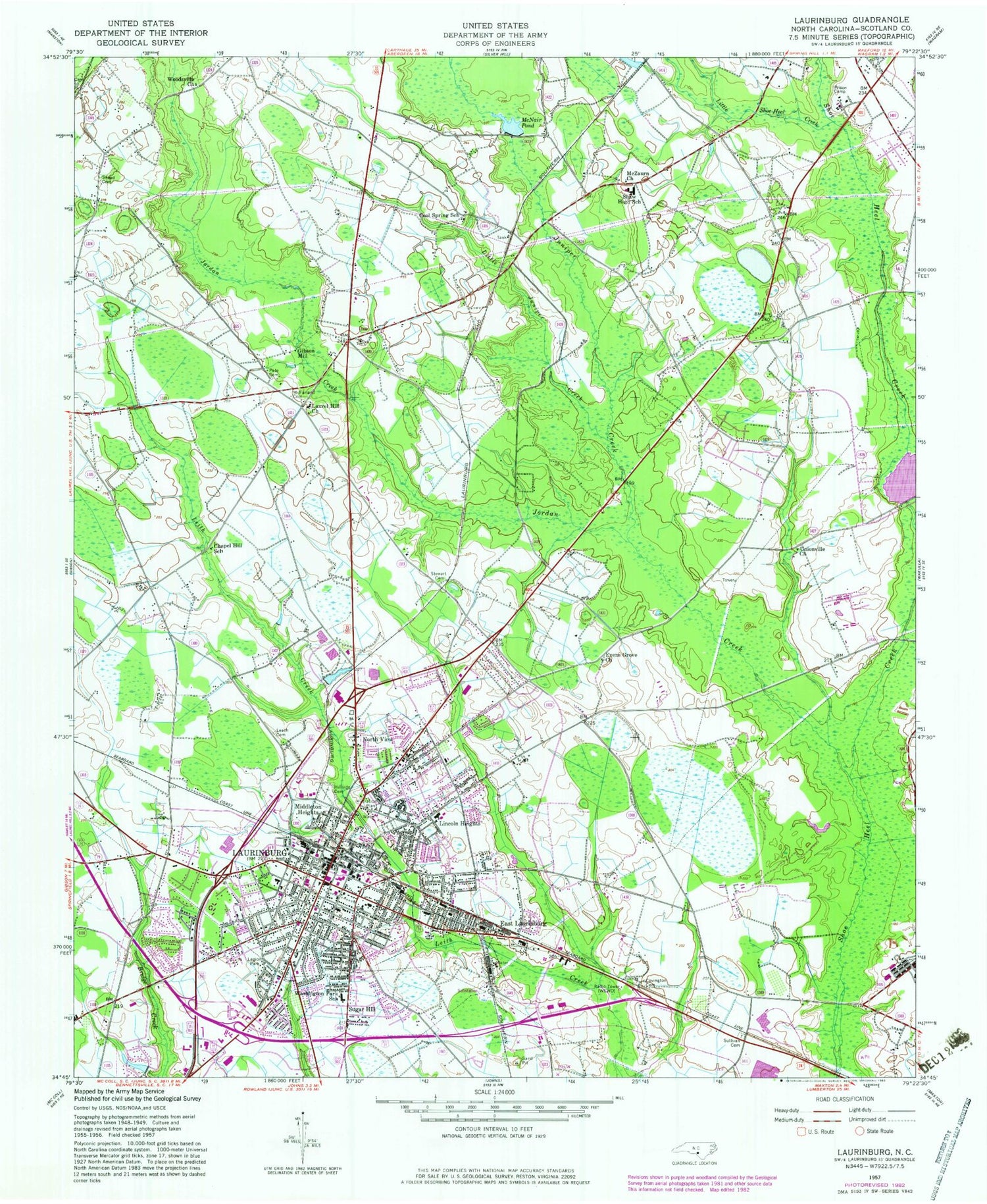
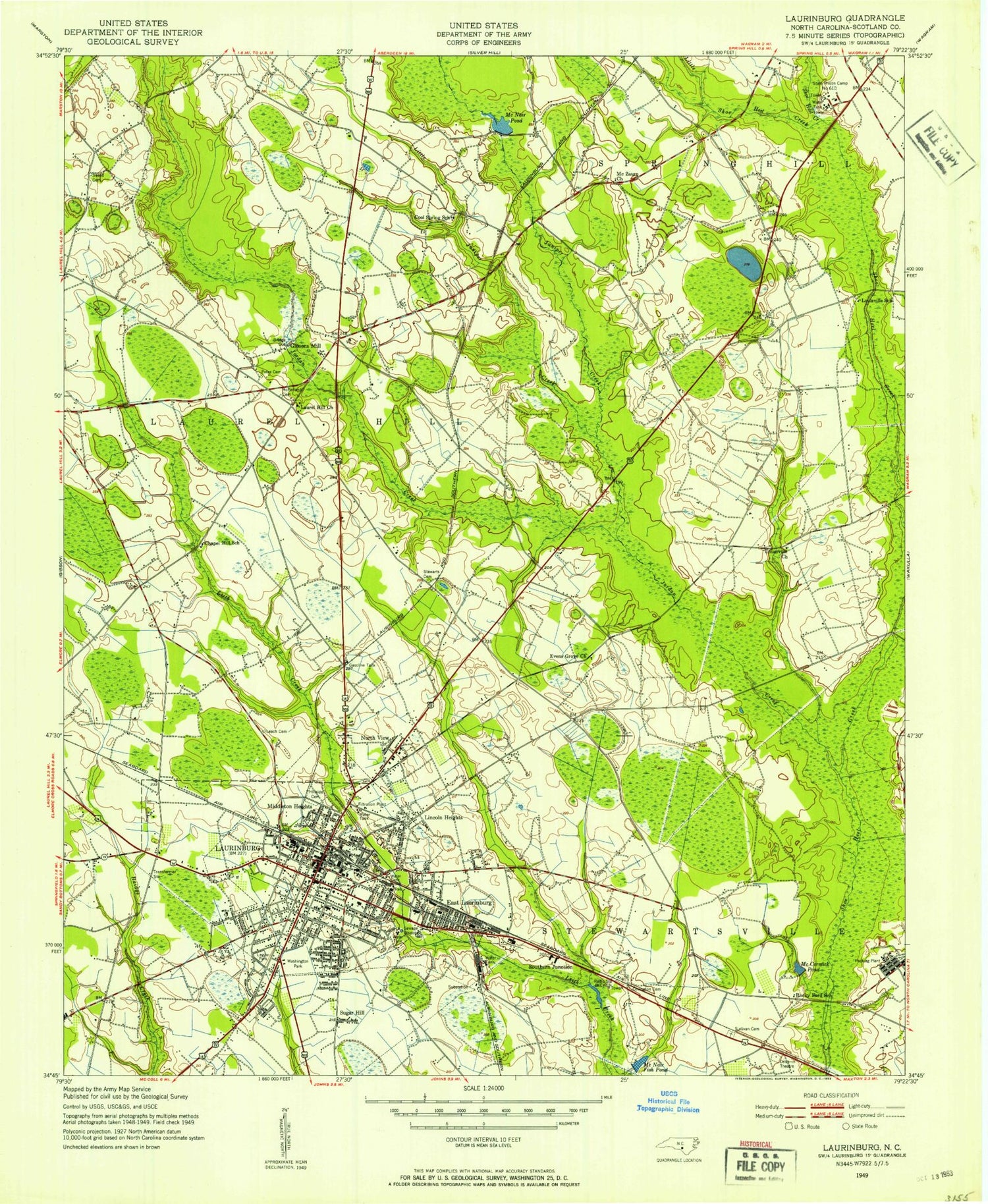
Classic USGS Laurinburg North Carolina 7.5'x7.5' Topo Map
Couldn't load pickup availability
Historical USGS topographic quad map of Laurinburg in the state of North Carolina. Typical map scale is 1:24,000, but may vary for certain years, if available. Print size: 24" x 27"
This quadrangle is in the following counties: Scotland.
The map contains contour lines, roads, rivers, towns, and lakes. Printed on high-quality waterproof paper with UV fade-resistant inks, and shipped rolled.
Contains the following named places: Baidge Creek, Chapel Hill School, Cool Spring School, Covington Cemetery, Evens Grove Church, Hillside Cemetery, Jordan Creek, Juniper Creek, Laurel Hill Church, Laurinburg, Leach Cemetery, Little Juniper Creek, Little Shoe Heel Creek, McCormick Pond, McFarland Cemetery, McNair Fishpond, McNair Pond, McZaurn Church, Pate Cemetery, Rocky Ford School, Shaw High School, Snead Cemetery, Stewart Cemetery, Sugar Hill, Sullivan Cemetery, Unionville Church, Washington Park School, Woodsville Church, Jones Pond Dam, Jones Pond, Lees Mill Pond, Hammon Heights, Stewartville Acres, Westwood, Scottsdale, Norman Heights, Carolina Park, Westland Forest, McLaurin Acres, College Park North, McBryde Farm, Glynn Fields, Bel Air, Sunshine Park, Langley Place Mobile Home Park, Langley Place, Tara Acres, Park Wood, Glen Acres, College Park South, Pate Stadium, Westwood Shopping Center, Scotland County High School, Covington Street Elementary School, Central Elementary School, East Laurinburg Center for Exceptional Children, Johnson Middle School, North Laurinburg Elementary School, Holly Square, Scotland County, WLNC-AM (Laurinburg), East Laurinburg, Gibson Mill, Lincoln Heights, Middleton Heights, North View, City of Laurinburg, Town of East Laurinburg, Laurinburg City Fire Department Station 1, Laurinburg City Fire Department Station 2, Scotland Memorial Hospital and Edwin Morgan Center, Scotland County Rescue Squad, Scotland County Emergency Medical Services, Laurinburg Police Department, Scotland Sheriff's Office, Laurinburg Post Office, Baidge Creek, Chapel Hill School, Cool Spring School, Covington Cemetery, Evens Grove Church, Hillside Cemetery, Jordan Creek, Juniper Creek, Laurel Hill Church, Laurinburg, Leach Cemetery, Little Juniper Creek, Little Shoe Heel Creek, McCormick Pond, McFarland Cemetery, McNair Fishpond, McNair Pond, McZaurn Church, Pate Cemetery, Rocky Ford School, Shaw High School, Snead Cemetery, Stewart Cemetery, Sugar Hill, Sullivan Cemetery, Unionville Church, Washington Park School, Woodsville Church, Jones Pond Dam, Jones Pond, Lees Mill Pond, Hammon Heights, Stewartville Acres, Westwood, Scottsdale, Norman Heights, Carolina Park, Westland Forest, McLaurin Acres, College Park North, McBryde Farm, Glynn Fields, Bel Air, Sunshine Park, Langley Place Mobile Home Park, Langley Place, Tara Acres, Park Wood, Glen Acres, College Park South, Pate Stadium, Westwood Shopping Center, Scotland County High School, Covington Street Elementary School, Central Elementary School, East Laurinburg Center for Exceptional Children, Johnson Middle School, North Laurinburg Elementary School, Holly Square, Scotland County, WLNC-AM (Laurinburg), East Laurinburg, Gibson Mill, Lincoln Heights, Middleton Heights, North View, City of Laurinburg, Town of East Laurinburg, Laurinburg City Fire Department Station 1, Laurinburg City Fire Department Station 2, Scotland Memorial Hospital and Edwin Morgan Center, Scotland County Rescue Squad, Scotland County Emergency Medical Services, Laurinburg Police Department, Scotland Sheriff's Office, Laurinburg Post Office
