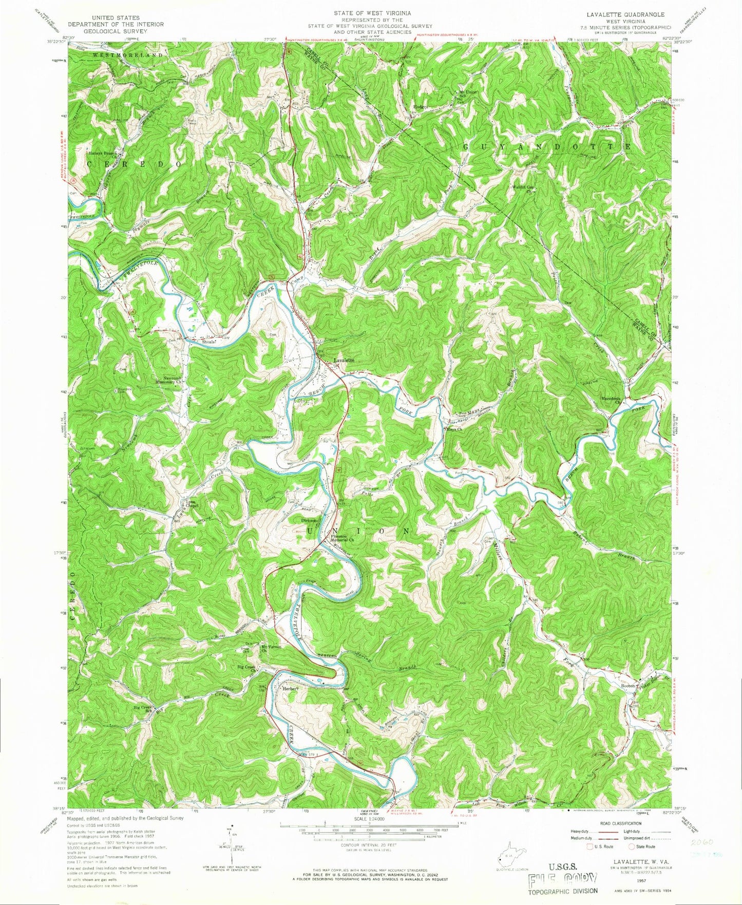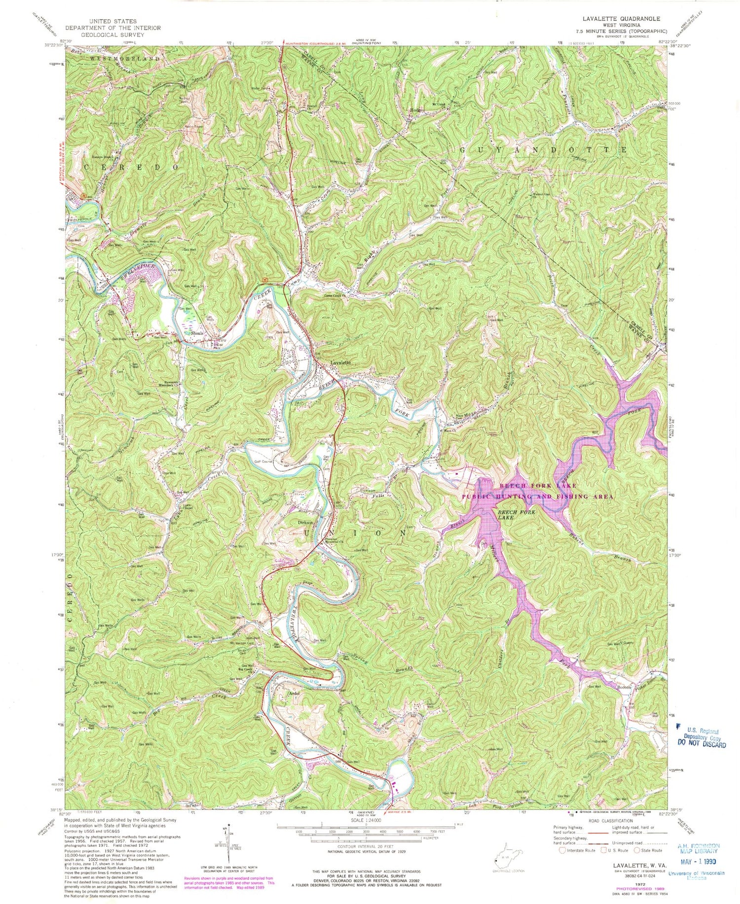

MyTopo
Classic USGS Lavalette West Virginia 7.5'x7.5' Topo Map
Couldn't load pickup availability
Historical USGS topographic quad map of Lavalette in the state of West Virginia. Typical map scale is 1:24,000, but may vary for certain years, if available. Print size: 24" x 27"
This quadrangle is in the following counties: Cabell, Wayne.
The map contains contour lines, roads, rivers, towns, and lakes. Printed on high-quality waterproof paper with UV fade-resistant inks, and shipped rolled.
Contains the following named places: Beech Fork, Beech Fork Lake, Beulah Church, Big Creek, Big Creek Church, Camp Creek, Camp Creek Church, Childers Branch, Falls Branch, Fisher Bowen Branch, Florence Memorial United Methodist Church, Garrett Creek, Haneys Branch, Haneys Branch Church, Hodges, Long Branch, Lynn Chapel, Lynn Creek, Macedonia Church, Mary Davis Branch, Mays Branch, Mays Cemetery, Mays Church, Millers Fork, Mount Union Church, Mount Vernon Cemetery, Newcomb Creek, Newcomb Missionary Church, Plymale Branch, Price Creek, Right Fork Camp Creek, Rubens Branch, Shoal Branch, Smith Cemetery, Spring Branch, Stowers Branch, Walnut Gap Church, Ardel, Booton, Dickson, Lavalette, Shoals, Beech Fork Lake Dam, Cherry Branch, Lavalette Post Office, Right Fork Garrett Creek, Shoals Post Office, Wayne Elementary School, District 1, Union District, Beech Fork Lake Wildlife Management Area, Lavalette Elementary School, Lavalette Volunteer Fire Department, Bloss Cemetery, Lavalette Census Designated Place, Sugarwood Golf Club, Twin Silos at Lavalette Golf Course, Mount Union Church-Chatterton Cemetery, Luther Bowen Cemetery, Stephenson Family Cemetery