MyTopo
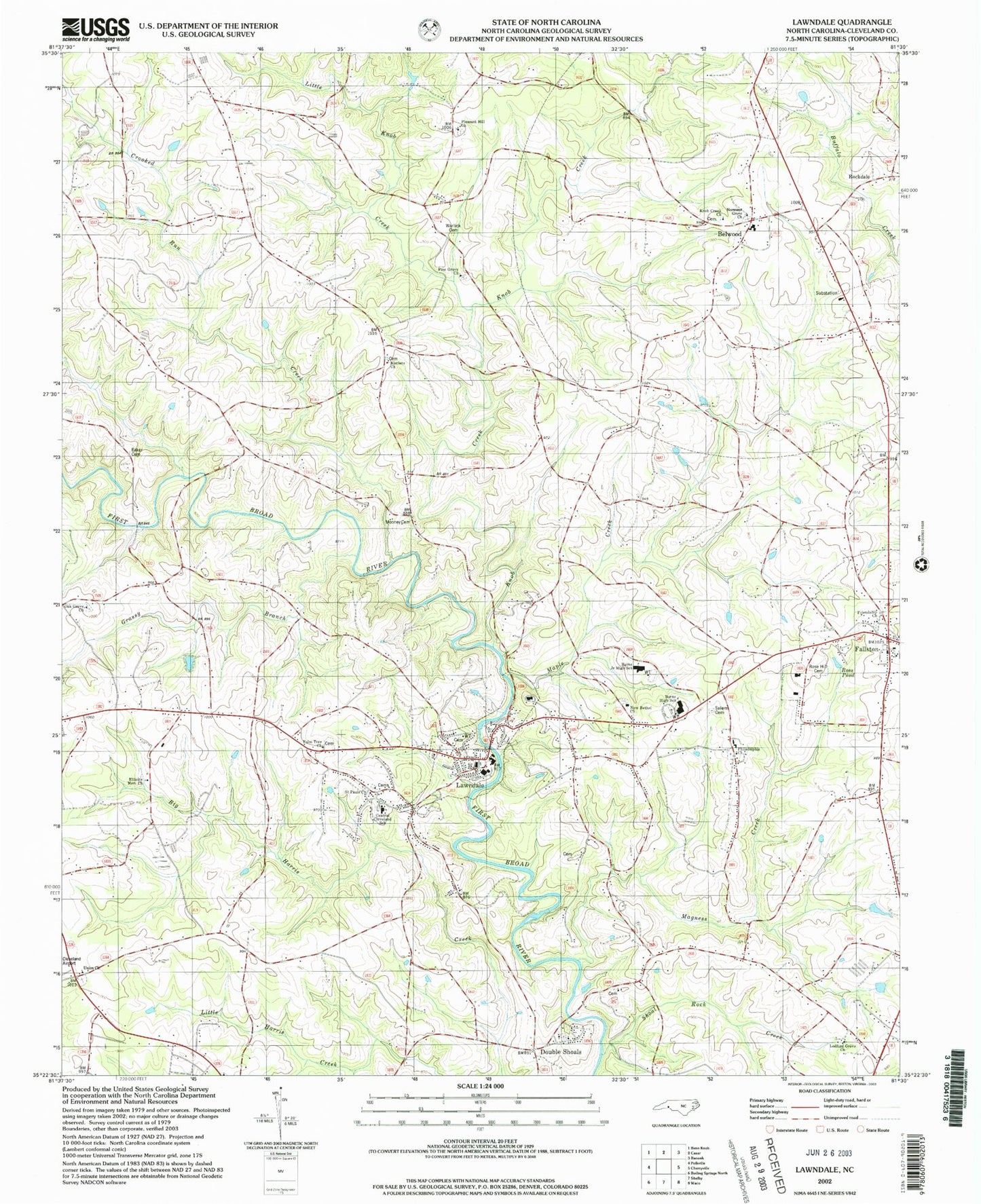
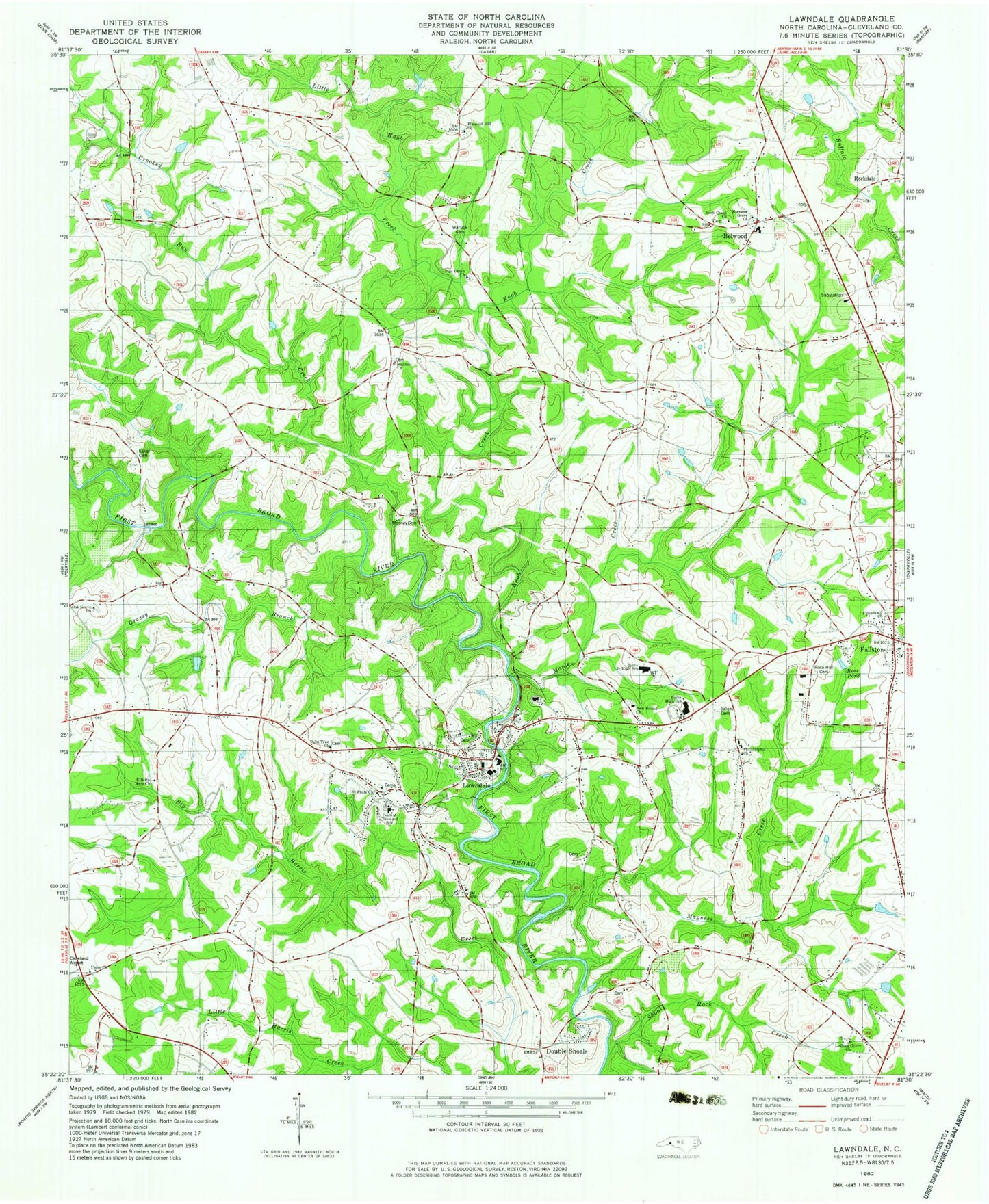
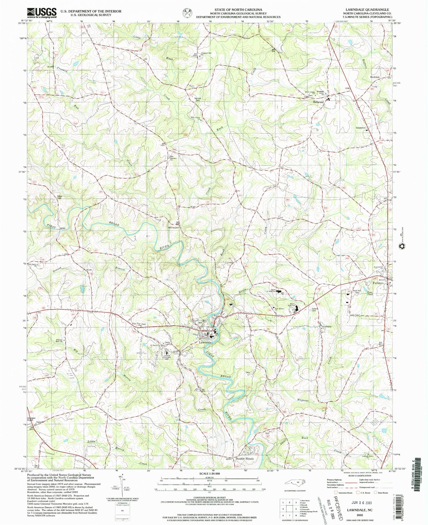
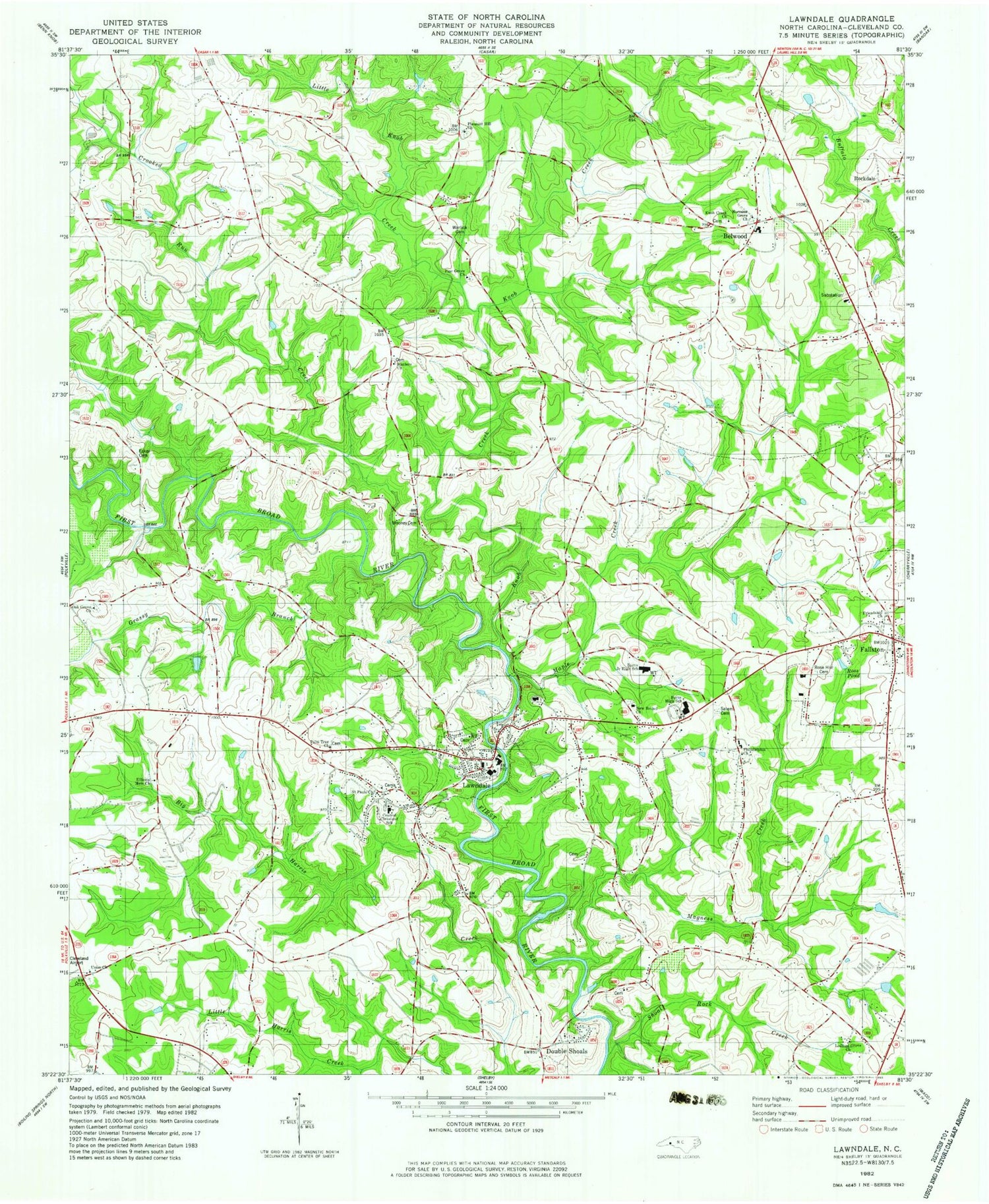
Classic USGS Lawndale North Carolina 7.5'x7.5' Topo Map
Couldn't load pickup availability
Historical USGS topographic quad map of Lawndale in the state of North Carolina. Map scale may vary for some years, but is generally around 1:24,000. Print size is approximately 24" x 27"
This quadrangle is in the following counties: Cleveland.
The map contains contour lines, roads, rivers, towns, and lakes. Printed on high-quality waterproof paper with UV fade-resistant inks, and shipped rolled.
Contains the following named places: Belwood, Belwood High School, Burns High School, Burns Junior High School, Campcall, Central Cleveland School, Cleveland County Emergency Medical Services Station 12, Crooked Run Creek, Double Shoals, Double Shoals Township 9, Douglas School, Eaker Cemetery, Elliotts Memorial Church, Fallston, Fallston Community Volunteer Fire Department, Fallston Post Office, Flat Rock School, Friendship Church, Gardners Ford, Grassy Branch, Kistlers Church, Knob Creek, Knob Creek Church, Knob Creek School, Lawndale, Lawndale Post Office, Lawndale Volunteer Fire Department, Ledford Grove Church, Little Knob Creek, Magness Creek, Maple Creek, Mooney Cemetery, New Bethel Church, Normans Grove Church, Oak Grove Church, Palm Tree Church, Peelers School, Philadelphia Church, Philadelphia School, Piedmont High School, Pine Grove Church, Pleasant Hill Church, Rockdale, Rose Hill Memorial Park Cemetery, Ross Pond, Saint Pauls Church, Salem Cemetery, Shoal Rock Creek, Shufords Fishing Lake, Shufords Lake Dam, Stice Shoal Dam, Stice Shoal Lake, Stoney Run Creek, Town of Belwood, Town of Fallston, Town of Lawndale, Union Church, Upper Cleveland Rescue Squad, Vance Grove School, Warlick Cemetery, ZIP Code: 28090


