MyTopo
Classic USGS Lawrence Arroyo New Mexico 7.5'x7.5' Topo Map
Couldn't load pickup availability
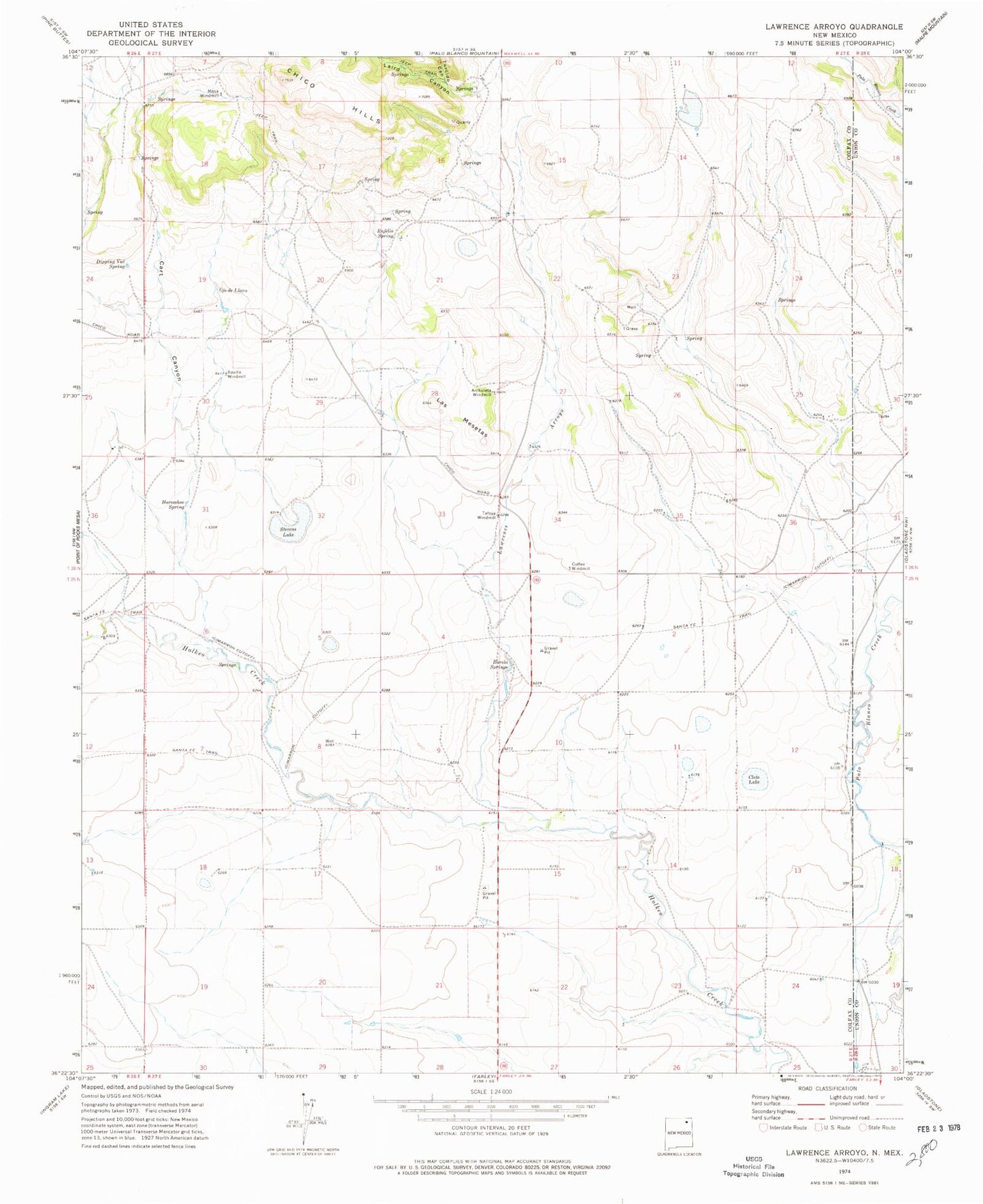
Historical USGS topographic quad map of Lawrence Arroyo in the state of New Mexico. Map scale may vary for some years, but is generally around 1:24,000. Print size is approximately 24" x 27"
This quadrangle is in the following counties: Colfax, Union.
The map contains contour lines, roads, rivers, towns, and lakes. Printed on high-quality waterproof paper with UV fade-resistant inks, and shipped rolled.
Contains the following named places: Archuleta Windmill, Barela Springs, Cart Canyon, Cleto Lake, Coffee Windmill, Dipping Vat Spring, Horseshoe Spring, Laird Canyon, Las Mesetas, Lawrence Arroyo, Mesa Windmill, Ojo de Llano, Reville Windmill, Romero, Rufelio Spring, Stevens Lake, Tafoya, Tafoya Post Office, Tafoya Windmill, Torcido Canyon