MyTopo
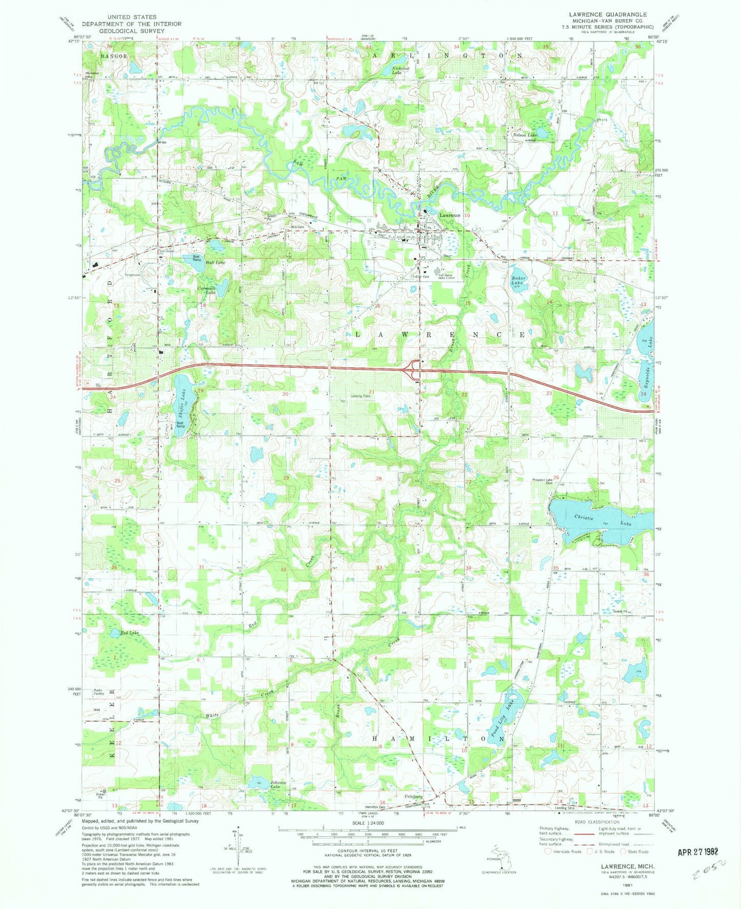
Classic USGS Lawrence Michigan 7.5'x7.5' Topo Map
Couldn't load pickup availability
Historical USGS topographic quad map of Lawrence in the state of Michigan. Typical map scale is 1:24,000, but may vary for certain years, if available. Print size: 24" x 27"
This quadrangle is in the following counties: Van Buren.
The map contains contour lines, roads, rivers, towns, and lakes. Printed on high-quality waterproof paper with UV fade-resistant inks, and shipped rolled.
Contains the following named places: Allen School, Baker Lake, Barnes School, Braybrooks School, Brush Creek, Christie Lake, Cornwall Lake, Corwin School, Fritzburg, Hall Lake, Hyde School, Johnson Lake, Lamphere School, Lawrence, Lee School, Monroe School, Nelson Lake, Nesbit School, Nicholas Lake, Pond Lily Lake, Red Creek, Red Lake, School Number 3, Shafer Lake, Shafer School, White Creek, Township of Lawrence, Prospect Lake Cemetery, Van Buren Skills Center, Hill Cemetery, Full Gospel Church, Village of Lawrence, Van Buren County Poorhouse Historical Marker, Prospect Lake Post Office (historical), Lawrence Bible Baptist Church, Kingdom Hall of Jehovah's Witnesses, First Congregational Church, Lawrence United Methodist Church, Lawrence Post Office, Lawrence Police Department, Lawrence Library, Lawrence Mobile Home Park, Lawrence Elementary School, Lawrence High School, Lawrence Station, Lawrence Village Cemetery, Lawrence Township Emergency Services


