MyTopo
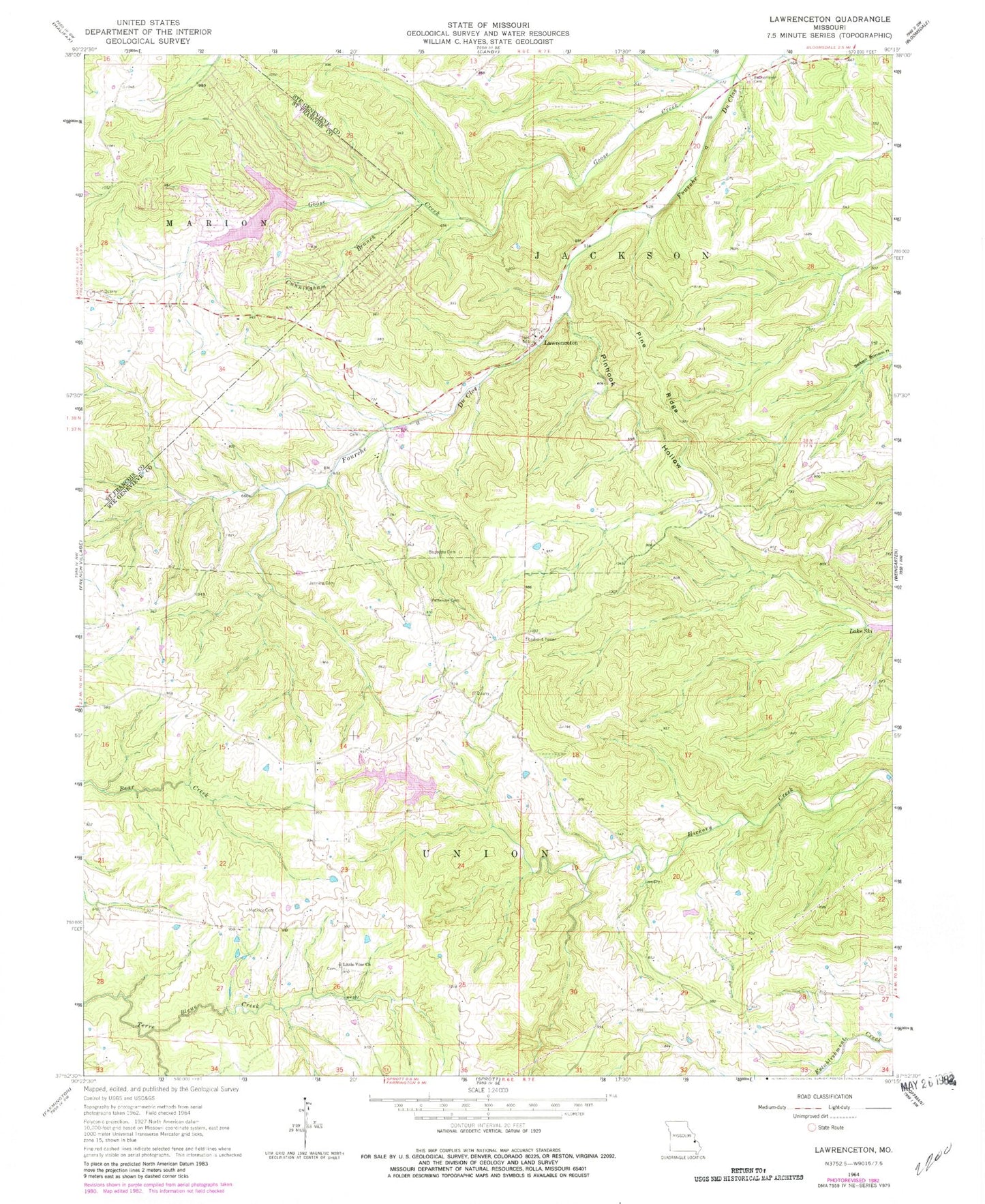
Classic USGS Lawrenceton Missouri 7.5'x7.5' Topo Map
Couldn't load pickup availability
Historical USGS topographic quad map of Lawrenceton in the state of Missouri. Map scale may vary for some years, but is generally around 1:24,000. Print size is approximately 24" x 27"
This quadrangle is in the following counties: St. Francois, Ste. Genevieve.
The map contains contour lines, roads, rivers, towns, and lakes. Printed on high-quality waterproof paper with UV fade-resistant inks, and shipped rolled.
Contains the following named places: Beckemeyer Cemetery, Bequette Cemetery, Cunningham Branch, Erb Lake, Goose Creek, Goose Creek Lake, Goose Creek Lake Census Designated Place, Goose Creek Lake Dam, Goose Creek Lake Fire Department Station 1, Goose Creek Lake Fire Department Station 2, Herman School, Jenning Cemetery, Lake Seven Falls Dam Number 2, Lake Seven Falls Dam Number 3, Lawrenceton, Lawrenceton School, Little Vine Church, Little Vine Church Cemetery, Little Vine Hill, Little Vine School, Mackley Cemetery, Mill, Number 615 Dam, Patterson Family Cemetery, Pin Hook Branch, Pine Ridge, Pinhook Hollow, Pinkston Dam, Pinkston Lake, Saint Lawrences Catholic Church, Thurman School, Township of Union, ZIP Code: 63036