MyTopo
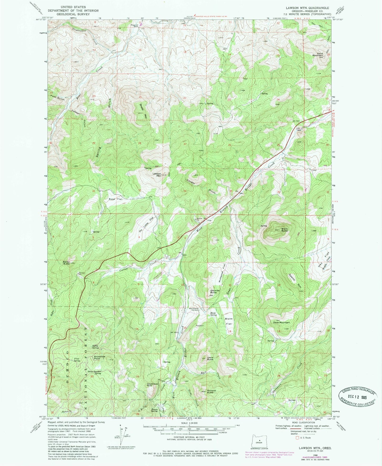
Classic USGS Lawson Mountain Oregon 7.5'x7.5' Topo Map
Couldn't load pickup availability
Historical USGS topographic quad map of Lawson Mountain in the state of Oregon. Map scale may vary for some years, but is generally around 1:24,000. Print size is approximately 24" x 27"
This quadrangle is in the following counties: Wheeler.
The map contains contour lines, roads, rivers, towns, and lakes. Printed on high-quality waterproof paper with UV fade-resistant inks, and shipped rolled.
Contains the following named places: Bailey Butte, Beaver Forest Service Station, Beaver Spring, Black Butte, Blake Flat, Blake Spring, Caesar Gulch, Camp Creek, Carroll Creek, Clover Creek, Cougar Gulch, Courthouse Rock, Do Little Flat, Dove Mountain, Fitzgerald Ranch, Frier Spring, Gage Creek, Gage Ranch, Gage Range, Gilchrist Butte, Hay Flat, Heflin Spring, Howard Ranch, Ihrig Ranch, Jones Ranch, Lawson Mountain, Lewis Butte, Lewis Ditch, Liberty Post Office, McNeese Flat, Mossy Rock Camp, O'Kelly Creek, Payne Ranch, Post Gulch, Rail Creek, Richard Butte, Ross Flat, Sand Mountain, Sheep Mountain, Sheep Smother Spring, Slide Creek, Snowshoe Point, Specht Rim, Spring Gulch, Stephenson Creek, West Branch Cemetery, Woodward Ranch


