MyTopo
Classic USGS Lay Waterhole Nevada 7.5'x7.5' Topo Map
Regular price
$16.95
Regular price
Sale price
$16.95
Unit price
per
Couldn't load pickup availability
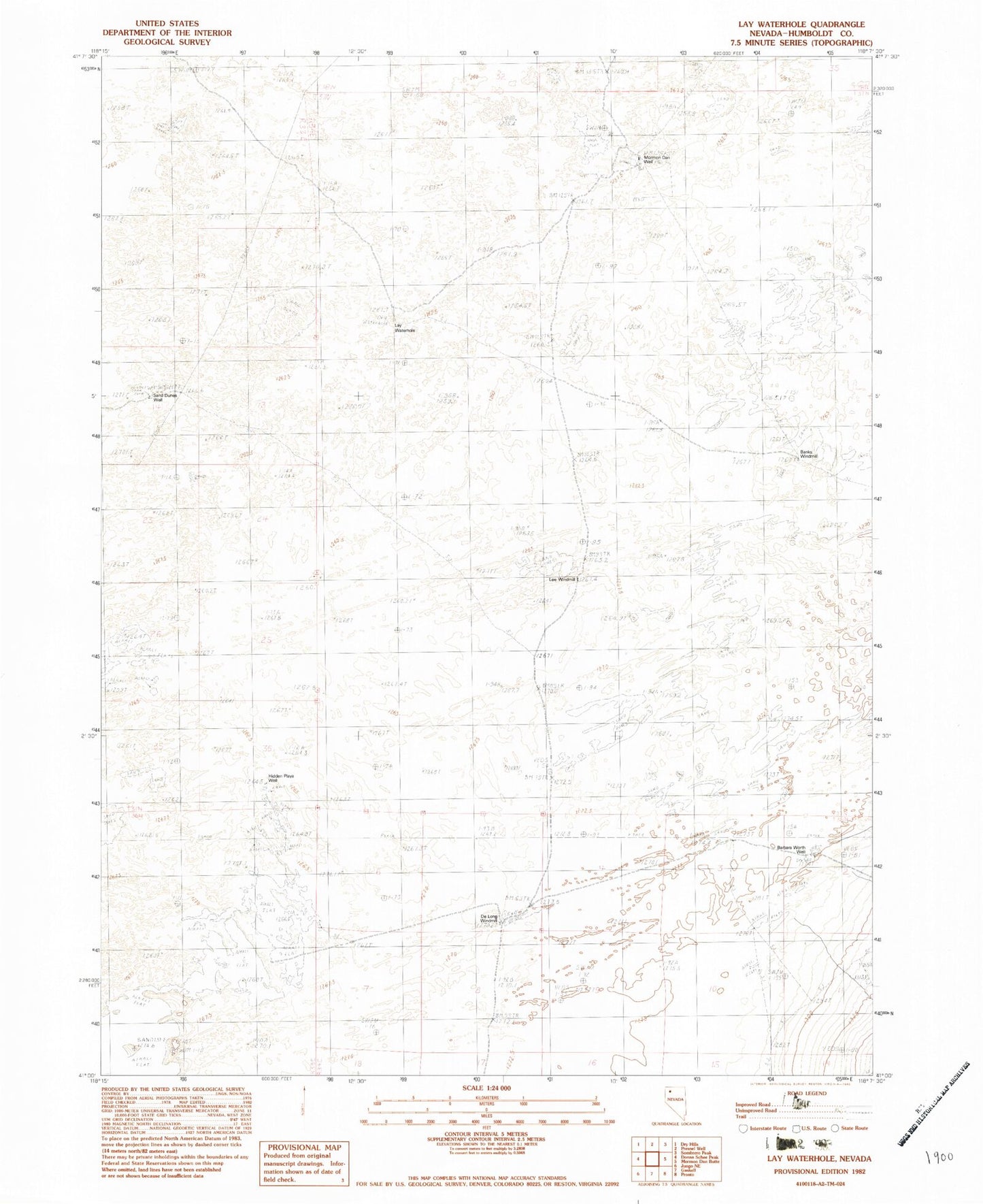
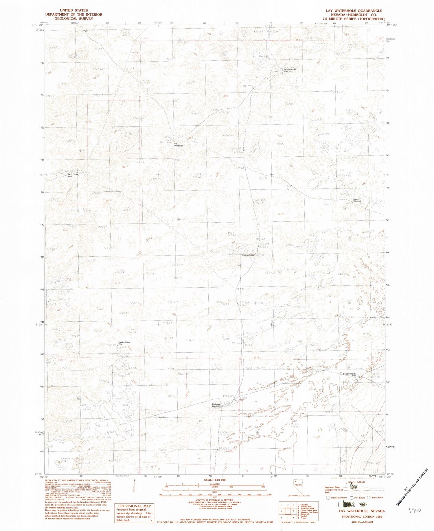
Historical USGS topographic quad map of Lay Waterhole in the state of Nevada. Map scale may vary for some years, but is generally around 1:24,000. Print size is approximately 24" x 27"
This quadrangle is in the following counties: Humboldt.
The map contains contour lines, roads, rivers, towns, and lakes. Printed on high-quality waterproof paper with UV fade-resistant inks, and shipped rolled.
Contains the following named places: Banks Windmill, Barbara Worth Well, De Long Windmill, Hidden Playa Well, Lay Waterhole, Lee Windmill, Mormon Dan Well, Sand Dunes Well