MyTopo
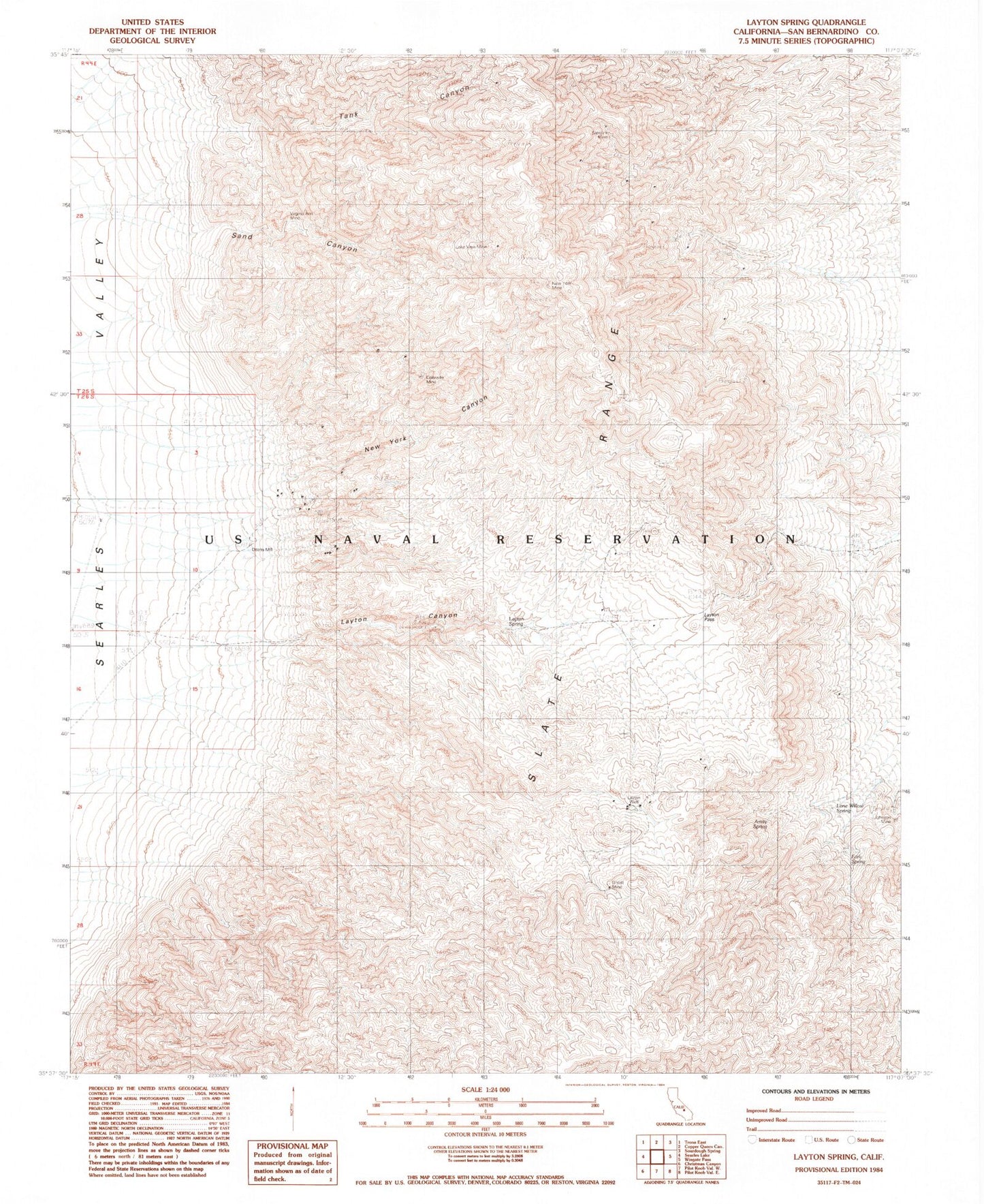
Classic USGS Layton Spring California 7.5'x7.5' Topo Map
Regular price
$16.95
Regular price
Sale price
$16.95
Unit price
per
Couldn't load pickup availability
Historical USGS topographic quad map of Layton Spring in the state of California. Map scale may vary for some years, but is generally around 1:24,000. Print size is approximately 24" x 27"
This quadrangle is in the following counties: San Bernardino.
The map contains contour lines, roads, rivers, towns, and lakes. Printed on high-quality waterproof paper with UV fade-resistant inks, and shipped rolled.
Contains the following named places: Amity Spring, Colorado Mine, Early Spring, Ghost Mine, Johnson Mine, Lake View Mine, Layton Canyon, Layton Pass, Layton Spring, Layton Well, Lone Willow Spring, New York Canyon, New York Mine, Sand Canyon, Sandora Mine, Tank Canyon, Virginia Ann Mine