MyTopo
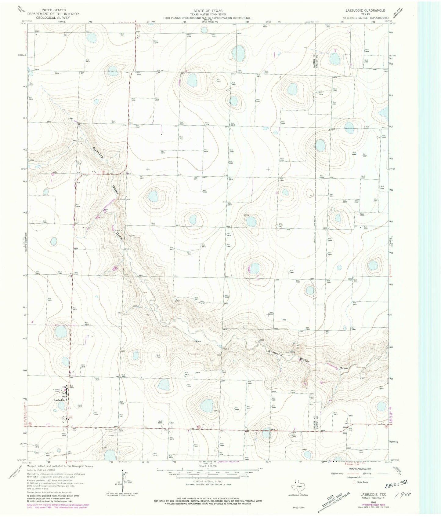
Classic USGS Lazbuddie Texas 7.5'x7.5' Topo Map
Couldn't load pickup availability
Historical USGS topographic quad map of Lazbuddie in the state of Texas. Map scale may vary for some years, but is generally around 1:24,000. Print size is approximately 24" x 27"
This quadrangle is in the following counties: Castro, Parmer.
The map contains contour lines, roads, rivers, towns, and lakes. Printed on high-quality waterproof paper with UV fade-resistant inks, and shipped rolled.
Contains the following named places: Flynt Lake Number 1, Flynt Lake Number 1 Dam, Flynt Lake Number 2, Flynt Lake Number 2 Dam, Lazbuddie, Lazbuddie Cemetery, Lazbuddie Emergency Medical Service, Lazbuddie Fire Department and Emergency Medical Service, Lazbuddie Post Office, Soil Conservation Service Site 3 Dam, Soil Conservation Service Site 3 Reservoir, ZIP Code: 79053