MyTopo
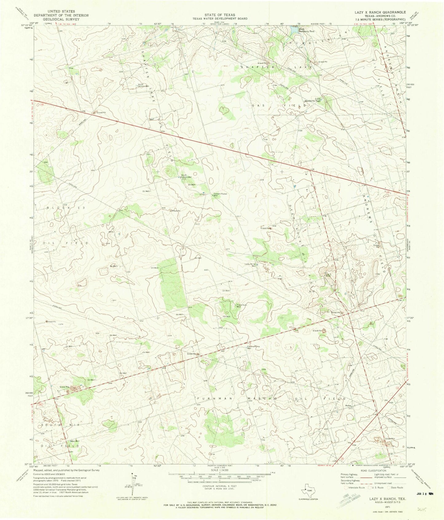
Classic USGS Lazy X Ranch Texas 7.5'x7.5' Topo Map
Couldn't load pickup availability
Historical USGS topographic quad map of Lazy X Ranch in the state of Texas. Map scale may vary for some years, but is generally around 1:24,000. Print size is approximately 24" x 27"
This quadrangle is in the following counties: Andrews.
The map contains contour lines, roads, rivers, towns, and lakes. Printed on high-quality waterproof paper with UV fade-resistant inks, and shipped rolled.
Contains the following named places: Andrews County, Andrews North Division, Cement Pocket Well, Deep Rock Oil Field, Lazy X Ranch, Little Hackberry Tank, Lucky Strike Well, Mascho Oil Field, North Cement Well, North Hackberry Tank, Shafter Lake Gas Field, Shafter Lake Oil Field, South Cement Well, Tripie Horn Well, West Well, ZIP Code: 79714