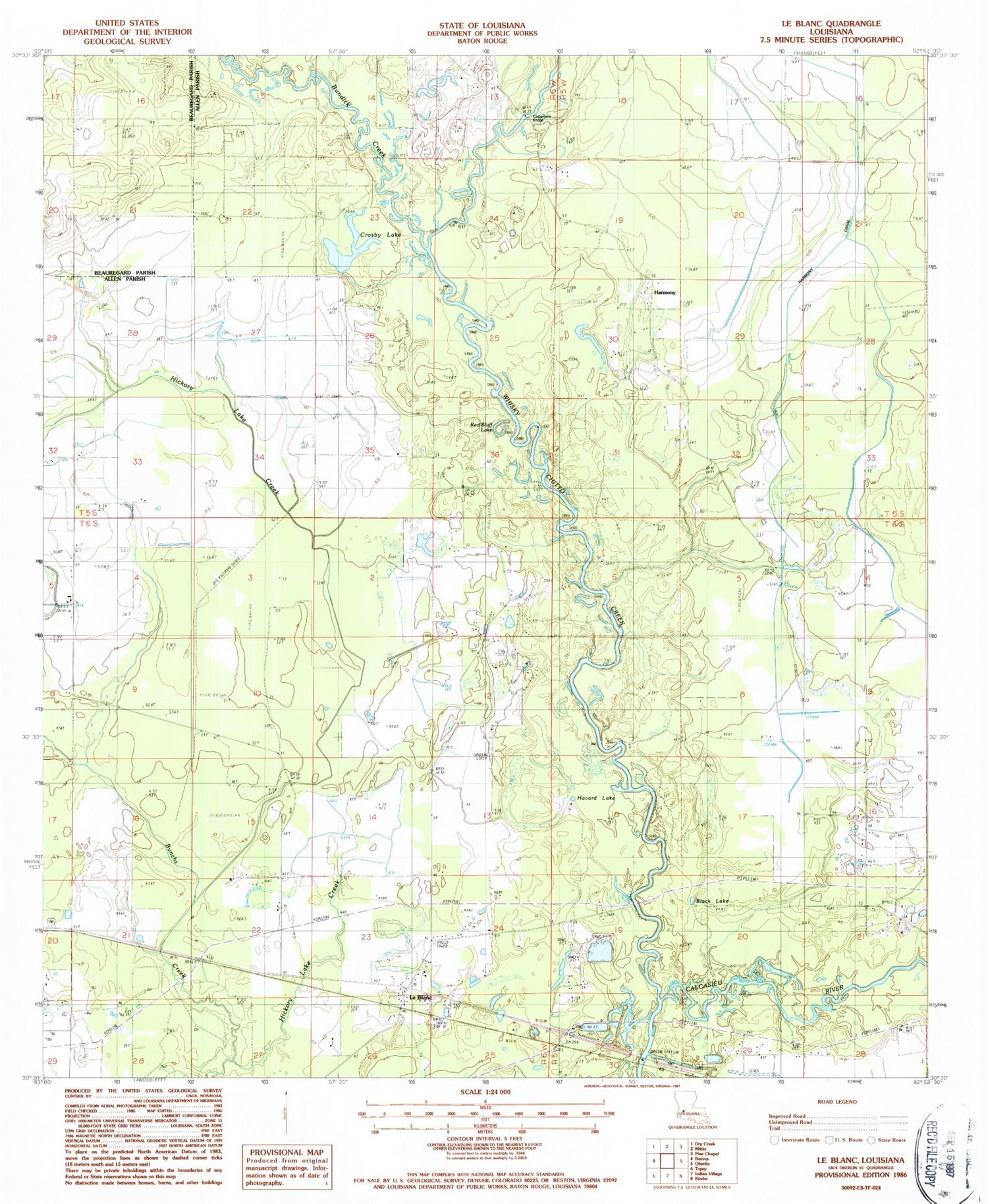
MyTopo
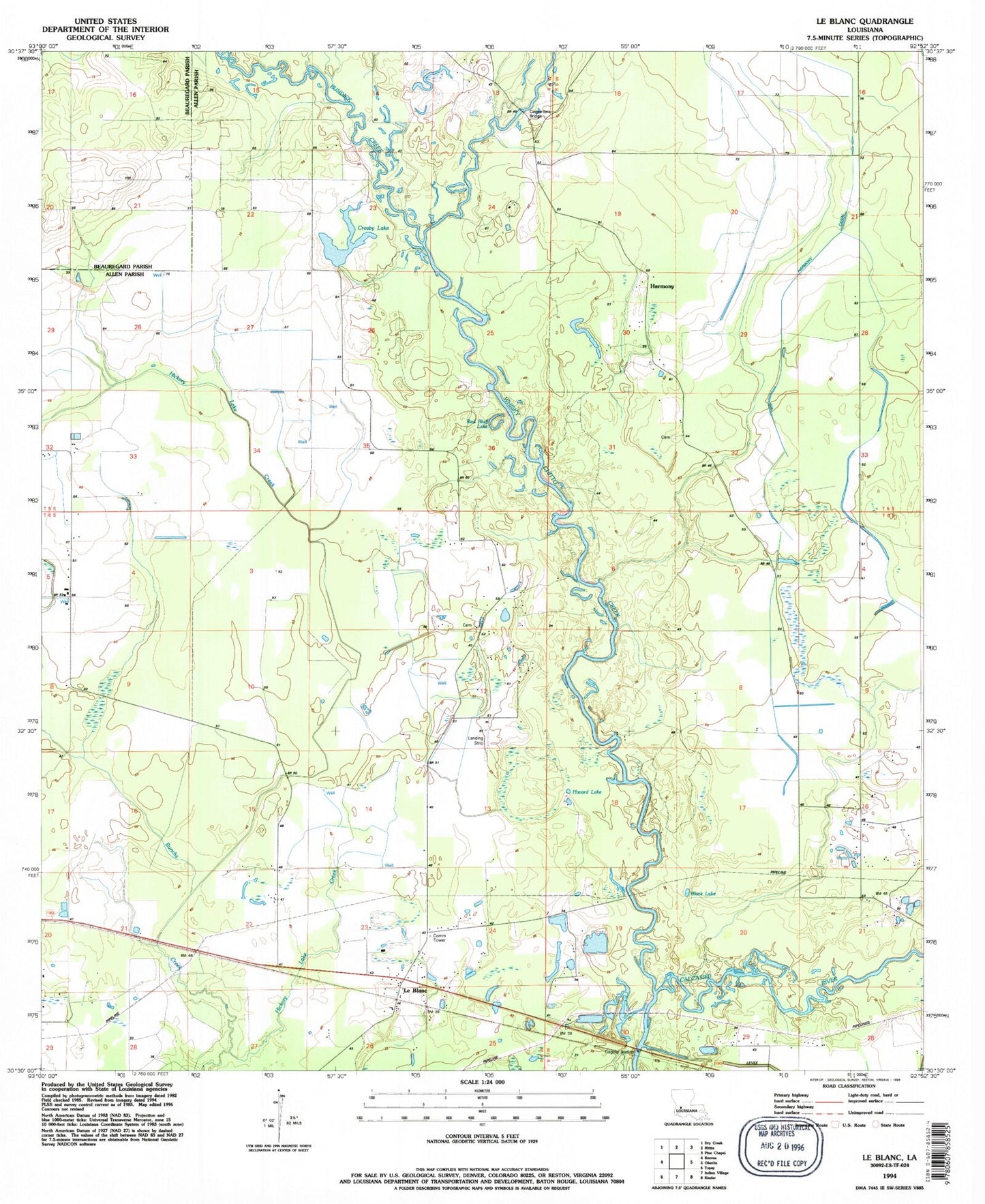
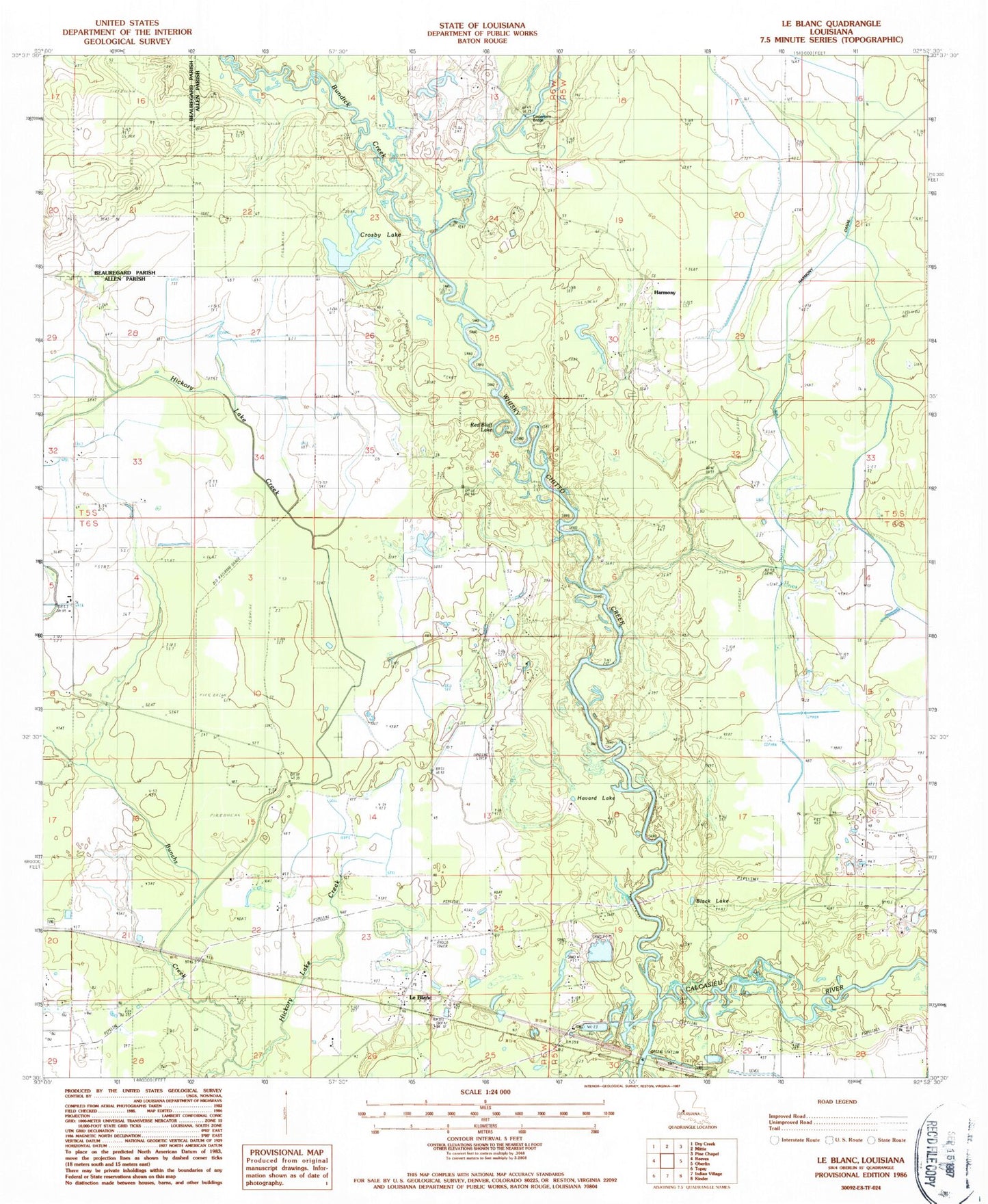
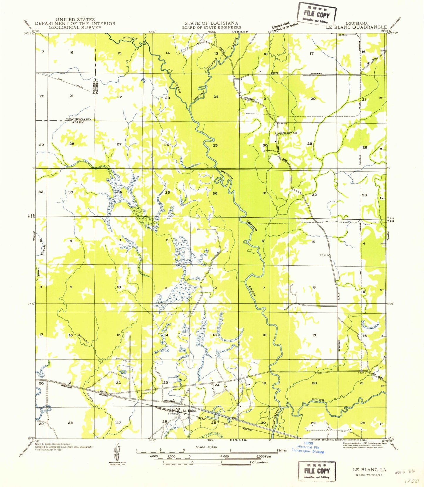
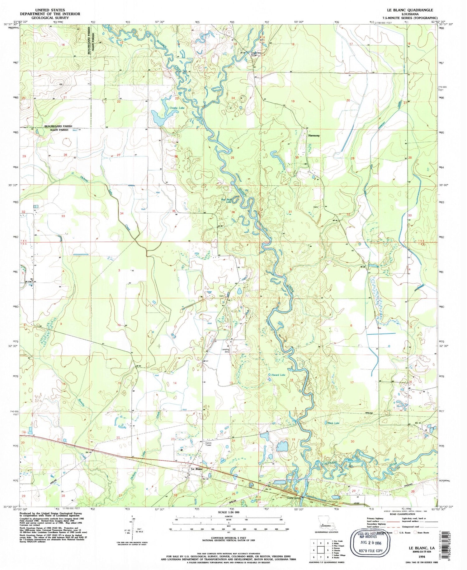
Classic USGS Le Blanc Louisiana 7.5'x7.5' Topo Map
Couldn't load pickup availability
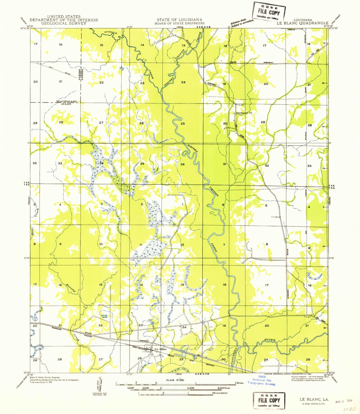
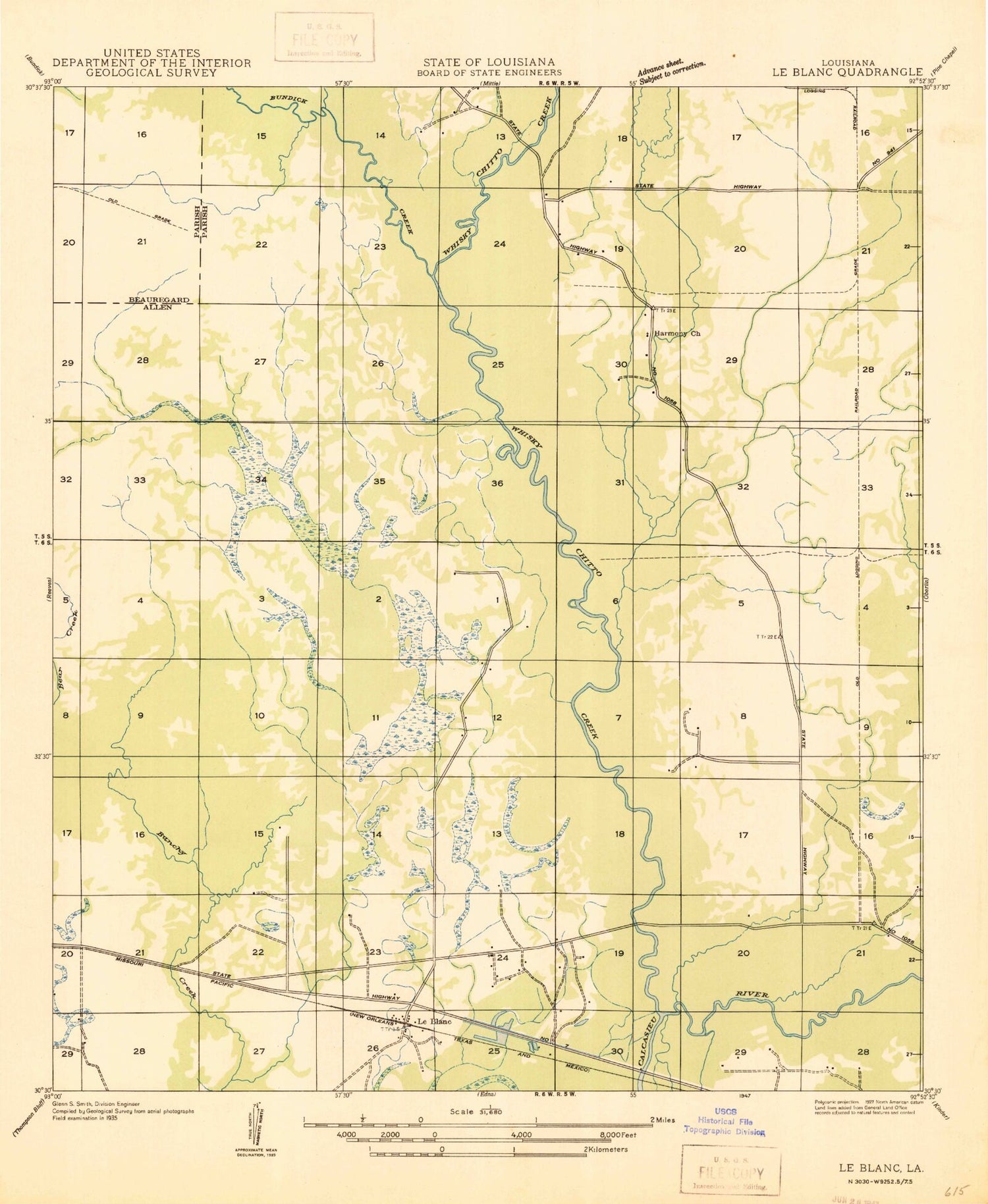
Historical USGS topographic quad map of Le Blanc in the state of Louisiana. Map scale may vary for some years, but is generally around 1:24,000. Print size is approximately 24" x 27"
This quadrangle is in the following counties: Allen, Beauregard.
The map contains contour lines, roads, rivers, towns, and lakes. Printed on high-quality waterproof paper with UV fade-resistant inks, and shipped rolled.
Contains the following named places: Bear Creek Number Three Dam, Black Lake, Bunchs Creek Oil and Gas Field, Bundick Creek, Carpenters Bridge, Crosby Lake, Harmony, Harmony Canal, Harmony Church Oil Field, Havard Lake, Hickory Lake Creek, Le Blanc, Le Blanc Church, Le Blanc Oil Field, Le Blanc Post Office, LeBlanc Volunteer Fire Department, Louisiana Noname 78 Dam, Prairie Creek, Red Bluff Lake, United Methodist Camp, Whisky Chitto Creek, ZIP Codes: 70648, 70651