MyTopo
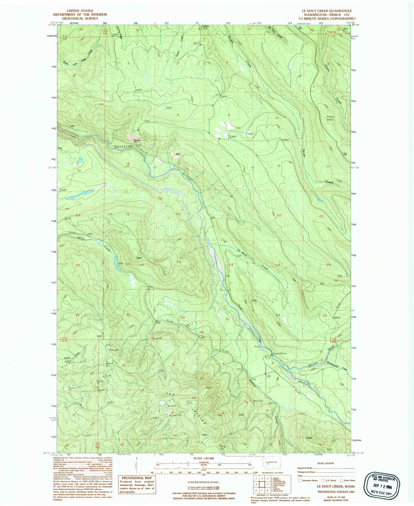
Classic USGS Le Dout Creek Washington 7.5'x7.5' Topo Map
Regular price
$16.95
Regular price
Sale price
$16.95
Unit price
per
Couldn't load pickup availability
Historical USGS topographic quad map of Le Dout Creek in the state of Washington. Map scale may vary for some years, but is generally around 1:24,000. Print size is approximately 24" x 27"
This quadrangle is in the following counties: Pierce.
The map contains contour lines, roads, rivers, towns, and lakes. Printed on high-quality waterproof paper with UV fade-resistant inks, and shipped rolled.
Contains the following named places: Electron Diversion Dam, Electron Flume, Kellog Creek, Le Dout Creek, Mowich River, Niesson Creek, Ohop Creek Ponds, Rushingwater Creek, The Divide