MyTopo
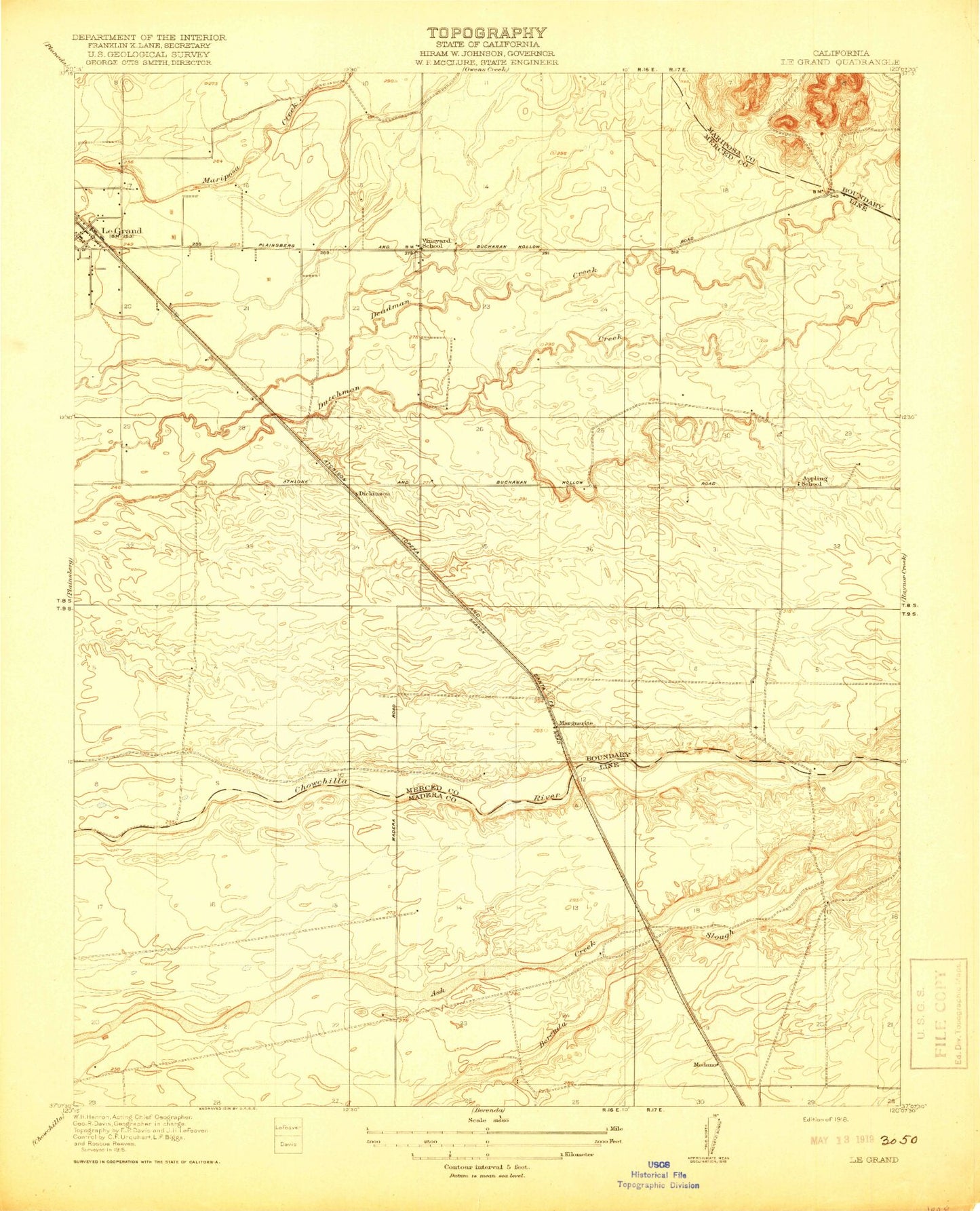
Classic USGS Le Grand California 7.5'x7.5' Topo Map
Regular price
$16.95
Regular price
Sale price
$16.95
Unit price
per
Couldn't load pickup availability
Historical USGS topographic quad map of Le Grand in the state of California. Map scale may vary for some years, but is generally around 1:24,000. Print size is approximately 24" x 27"
This quadrangle is in the following counties: Madera, Mariposa, Merced.
The map contains contour lines, roads, rivers, towns, and lakes. Printed on high-quality waterproof paper with UV fade-resistant inks, and shipped rolled.
Contains the following named places: Appling School, Berenda Slough 1015 Dam, Dickenson, KXDA-FM (Chowchilla), Le Grand, Marguerite, Medano, Merced County Fire Department Le Grand Fire Station 84, Reimer Farms, Vineyard School, Wells Nut Farm, ZIP Code: 95333