MyTopo
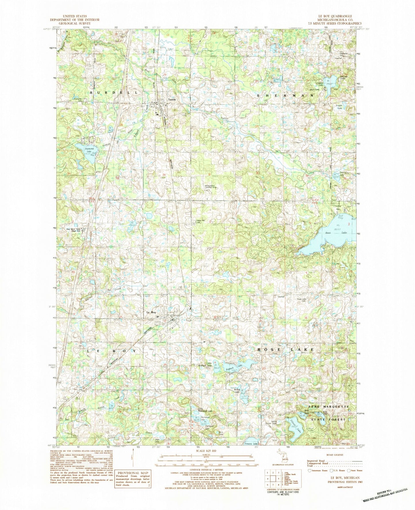
Classic USGS Le Roy Michigan 7.5'x7.5' Topo Map
Couldn't load pickup availability
Historical USGS topographic quad map of Le Roy in the state of Michigan. Map scale may vary for some years, but is generally around 1:24,000. Print size is approximately 24" x 27"
This quadrangle is in the following counties: Osceola.
The map contains contour lines, roads, rivers, towns, and lakes. Printed on high-quality waterproof paper with UV fade-resistant inks, and shipped rolled.
Contains the following named places: Augustana Lutheran Church, Boot Lake, Burdell Township Cemetery, Center Lake, Covenant Presbyterian Church, Deer Lake, Diamond Lake, Diamond Lake Outlet Creek, Emery Lake, Evangelical Covenant Church, First Baptist Church, Hogback Lake, John E Larson Farm Historical Marker, Kettunen Center, Kidder School, Lake Outlet, Le Roy, Le Roy Community Library, Le Roy Elementary School, LeRoy Museum, Leroy Post Office, LeRoy Roselake Fire Department, Leroy Station, Little Hogback Lake, Little Sherwood Lake, Little Silver Lake, Maple Hill Cemetery, McCoy Lake, McQuestions Airport, Mineral Springs Oil Field, Mud Lake, Noggle Lake, Noggle School, Penasa Lake, Pine River Area High School, Rice Lake, Rose Golf Course, Rose Lake, Rose Lake Cemetery, Rose Lake Park, Sherman Township Cemetery, Sherwood Lake, Shields School, Silver Lake, Sprague Lake, Swedish Evangelical Lutheran Church Historical Marker, Township of Rose Lake, Township of Sherman, Tustin, Tustin Area Volunteer Fire Department, Tustin Cemetery, Tustin Community Library, Tustin Elementary School, Tustin Post Office, Tustin Rest Area, Tustin Station, Tustin Trails Golf Course, United Methodist Church, Unto a New Land Historical Marker, Village of Le Roy, Village of Tustin, Zion Emanuel Lutheran Church, ZIP Codes: 49655, 49688


