
MyTopo
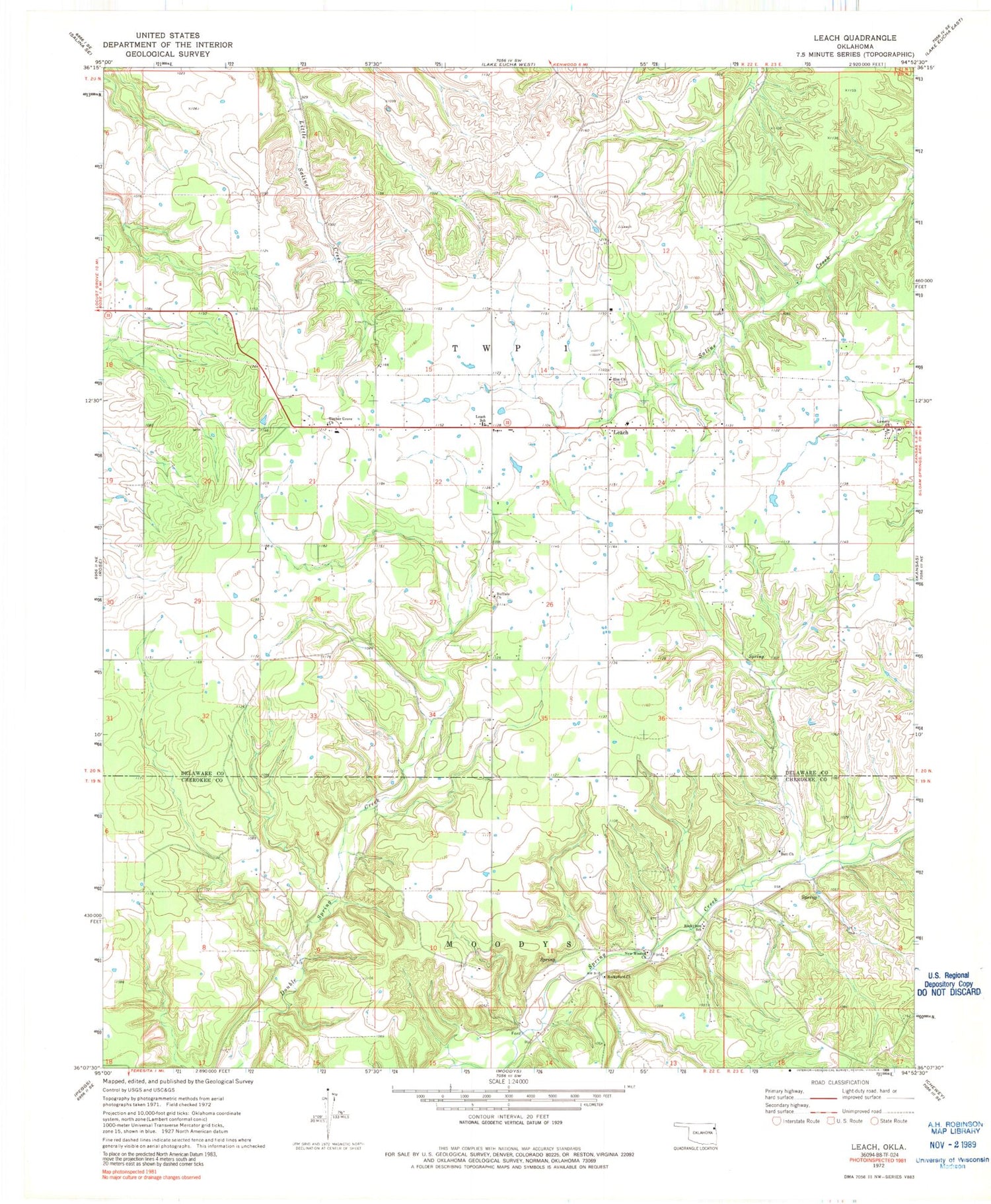
Classic USGS Leach Oklahoma 7.5'x7.5' Topo Map
Couldn't load pickup availability
Historical USGS topographic quad map of Leach in the state of Oklahoma. Map scale may vary for some years, but is generally around 1:24,000. Print size is approximately 24" x 27"
This quadrangle is in the following counties: Cherokee, Delaware.
The map contains contour lines, roads, rivers, towns, and lakes. Printed on high-quality waterproof paper with UV fade-resistant inks, and shipped rolled.
Contains the following named places: Batt Church, Bill Batt Cemetery, Buffalo Church, Elm Cemetery, Elm Church, Leach, Leach Census Designated Place, Leach Community Fire Department, Leach Elementary School, Lowery Church, New Mission Church, Rocky Ford, Rocky Ford Census Designated Place, Rocky Ford State Park, Rockyford Church, Rockyford School, Teresita, Timber Grove Church, Township 1, ZIP Code: 74364


