MyTopo
Classic USGS Lead Mountain Maine 7.5'x7.5' Topo Map
Couldn't load pickup availability
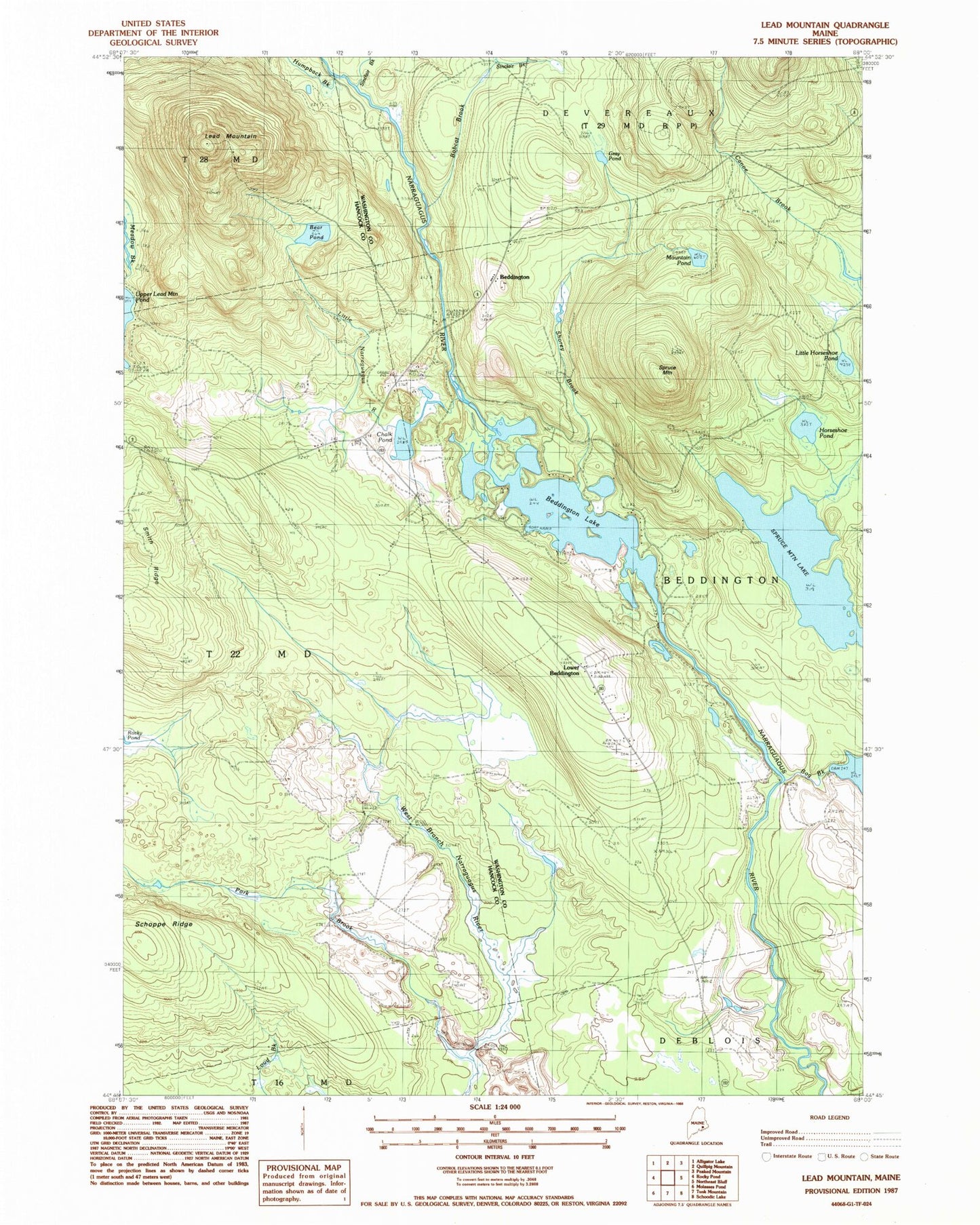
Historical USGS topographic quad map of Lead Mountain in the state of Maine. Map scale may vary for some years, but is generally around 1:24,000. Print size is approximately 24" x 27"
This quadrangle is in the following counties: Hancock, Washington.
The map contains contour lines, roads, rivers, towns, and lakes. Printed on high-quality waterproof paper with UV fade-resistant inks, and shipped rolled.
Contains the following named places: Bear Pond, Beddington, Beddington Lake, Beddington Volunteer Fire Department, Bobcat Brook, Bog Brook, Bog Brook Dam, Chalk Pond, Gray Pond, Horseshoe Pond, Humpback Brook, Lead Mountain, Lead Mountain Trail, Little Horseshoe Pond, Little Narraguagus River, Lower Beddington, Meadow Brook, Mountain Pond, Pork Brook, Shorey Brook, Sinclair Brook, Smith Ridge, Spruce Mountain, Spruce Mountain Lake, Town of Beddington