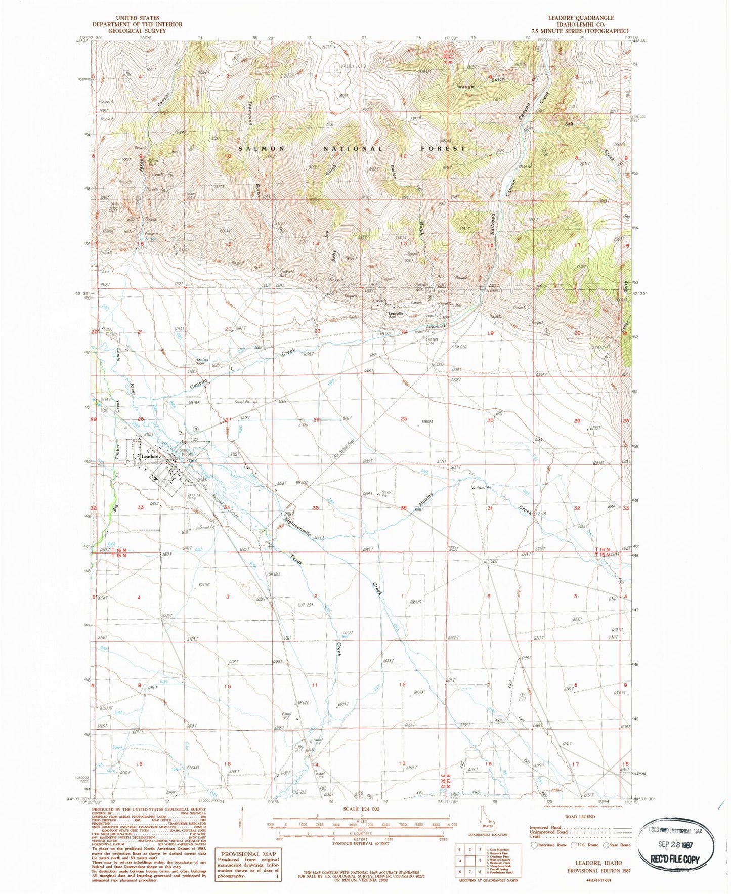
MyTopo
Classic USGS Leadore Idaho 7.5'x7.5' Topo Map
Couldn't load pickup availability
Historical USGS topographic quad map of Leadore in the state of Idaho. Map scale may vary for some years, but is generally around 1:24,000. Print size is approximately 24" x 27"
This quadrangle is in the following counties: Lemhi.
The map contains contour lines, roads, rivers, towns, and lakes. Printed on high-quality waterproof paper with UV fade-resistant inks, and shipped rolled.
Contains the following named places: Baby Joe Gulch, Big Timber Creek, Canyon Creek, Cedar Gulch, City of Leadore, Eighteenmile Creek, Hawley Creek, Italian Gulch, Jakes Canyon, Junction, Junction Cemetery, Leadore, Leadore Airport, Leadore Post Office, Leadore Ranger Station, Leadore School, Leadore Volunteer Fire Department, Leadville, McRea Cemetery, Railroad Canyon, Salt Creek, Smokeys Cubs Recreation Site, Texas Creek, Thompson Gulch, Waugh Gulch