
MyTopo
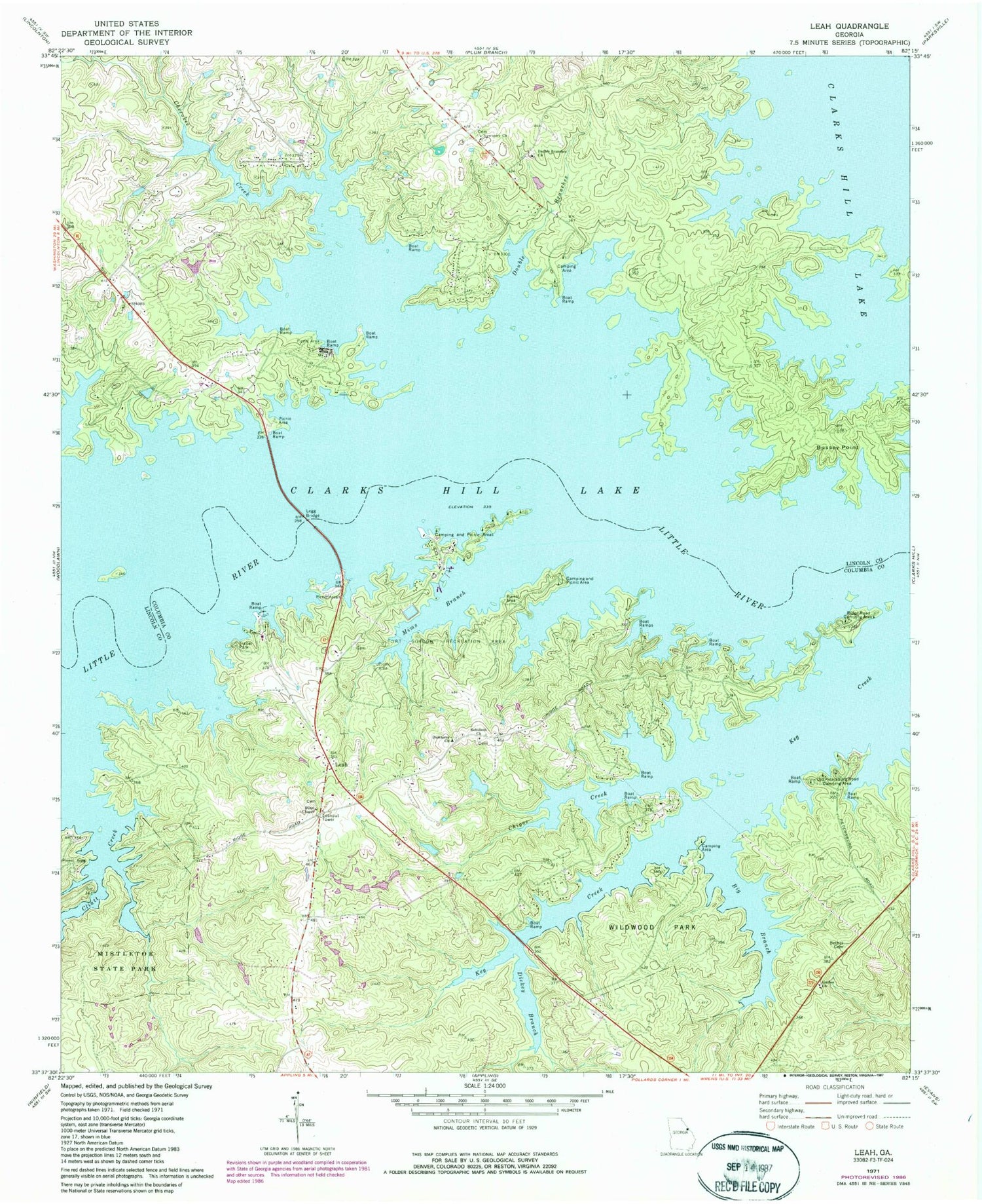
Classic USGS Leah Georgia 7.5'x7.5' Topo Map
Couldn't load pickup availability
Historical USGS topographic quad map of Leah in the state of Georgia. Typical map scale is 1:24,000, but may vary for certain years, if available. Print size: 24" x 27"
This quadrangle is in the following counties: Columbia, Lincoln.
The map contains contour lines, roads, rivers, towns, and lakes. Printed on high-quality waterproof paper with UV fade-resistant inks, and shipped rolled.
Contains the following named places: Bethel Cemetery, Big Branch, Bussey Point, Cherokee Creek, Cliatt Creek, Damascus Church, Double Branches, Fort Gordon Recreation Area, Galilee Church, Keg Creek State Park, Legg Bridge, Mims Branch, Mistletoe State Park, Newberry Church, Old Petersburg Road Camping Area, Rehoboth Church, Ridge Road Camping Area, Leah, Bethel Church (historical), Canidy Branch, China Hill School (historical), Lockhart Ferry (historical), Prices Mill (historical), Bussey, Lockhart School (historical), Martins Academy (historical), Newberry School (historical), Price Island (historical), Eubank Lake Dam, Eubank Lake, Dunn Chapel, Eubank (historical), McCord Ferry (historical), Price Ferry (historical), Blanchard Cemetery, Hardin Cemetery, Chigoe Creek, Dickey Branch, Double Branches Church, Dunn Chapel, Columbia County Fire Rescue Station 16, Martinez - Columbia Fire Rescue Engine Company 14


