MyTopo
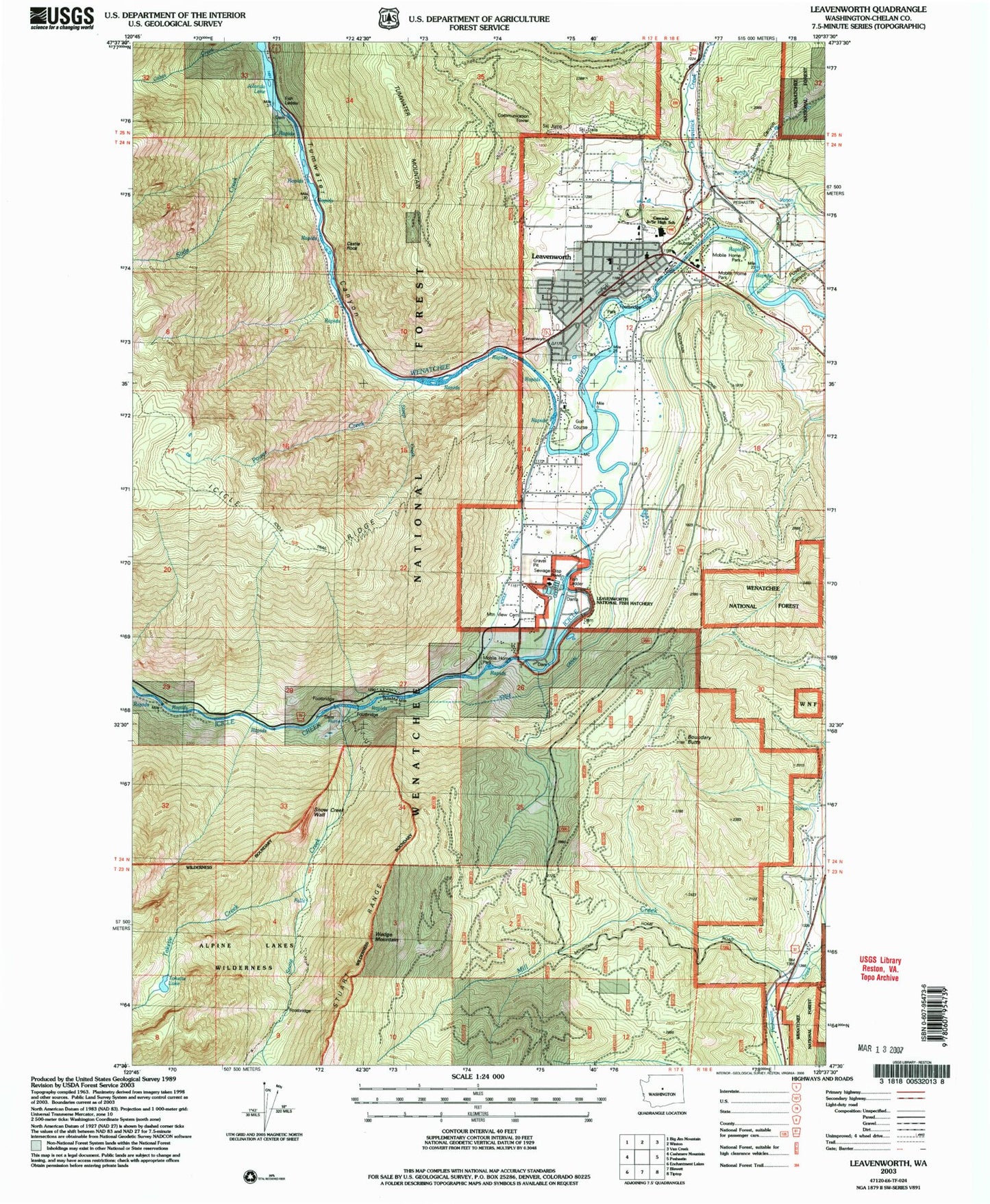
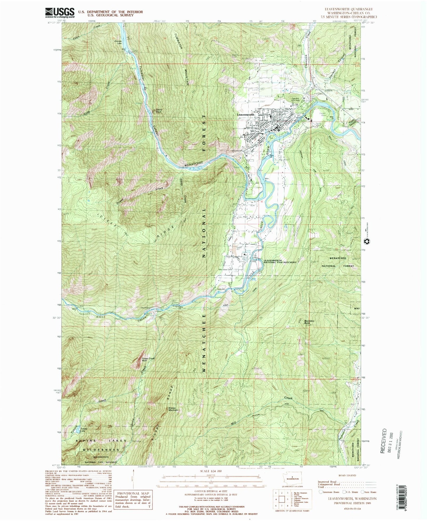
Classic USGS Leavenworth Washington 7.5'x7.5' Topo Map
Couldn't load pickup availability
Historical USGS topographic quad map of Leavenworth in the state of Washington. Map scale may vary for some years, but is generally around 1:24,000. Print size is approximately 24" x 27"
This quadrangle is in the following counties: Chelan.
The map contains contour lines, roads, rivers, towns, and lakes. Printed on high-quality waterproof paper with UV fade-resistant inks, and shipped rolled.
Contains the following named places: Boundary Butte, Camp Field Retreat Center, Cascade Ambulance, Cascade High School, Cascade Medical Center, Cascade Mountain Bible Church, Castle Rock, Chelan County Fire District 3, Chumstick Creek, Church of the Nazarene, City of Leavenworth, Eagle Creek, Faith Lutheran Church, First Baptist Church of Leavenworth, Icicle Creek, Icicle River Middle School, Icicle Trail, John H Osborn Elementary School, Lake Jolanda, Leavenworth, Leavenworth Adventist Church, Leavenworth City Hall, Leavenworth Community United Methodist Church, Leavenworth Golf Club, Leavenworth Library, Leavenworth Post Office, Leavenworth Sewage Treatment Plant, Leavenworth Winter Sports Area, Mill Creek, Mountain View Cemetery, Old Leavenworth North Road Cemetery, Osborn Elementary School, Our Lady of the Snows Church, Pendleton Canyon, Posey Canyon, Power Creek, Slide Creek, Snow Creek, Snow Creek Wall, Snow Lakes Trail, Steep Creek, Stevens Canyon, The Church of Jesus Christ of Latter Day Saints, Toketie Creek, Toketie Lake, Tumwater Botanical Area, Tumwater Canyon, Tumwater Canyon Dam, Tumwater Mountain, Upper Valley Christian School, Wedge Mountain, Wenatchee River Ranger District-Leavenworth Office