MyTopo
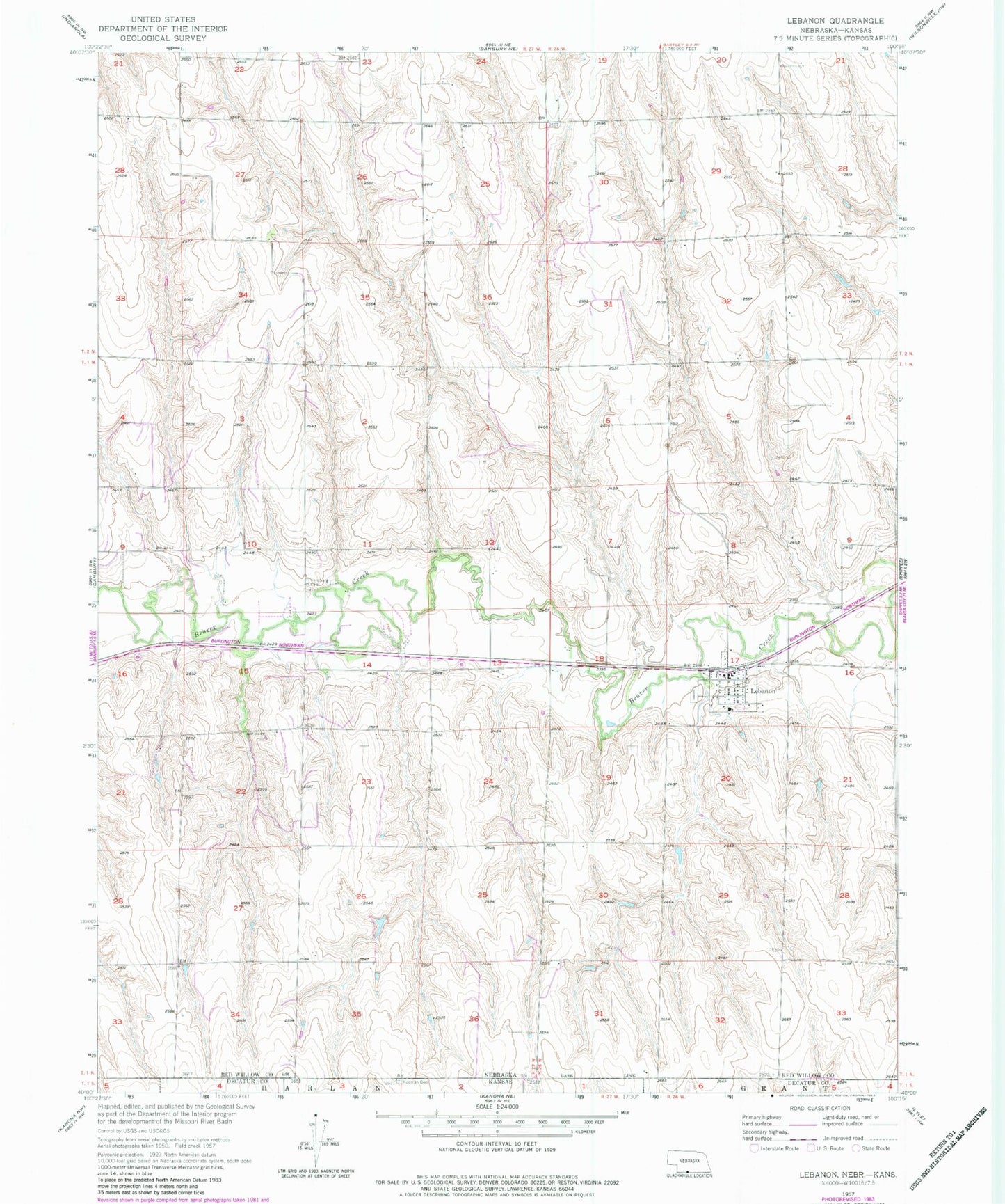
Classic USGS Lebanon Nebraska 7.5'x7.5' Topo Map
Couldn't load pickup availability
Historical USGS topographic quad map of Lebanon in the states of Nebraska, Kansas. Map scale may vary for some years, but is generally around 1:24,000. Print size is approximately 24" x 27"
This quadrangle is in the following counties: Decatur, Red Willow.
The map contains contour lines, roads, rivers, towns, and lakes. Printed on high-quality waterproof paper with UV fade-resistant inks, and shipped rolled.
Contains the following named places: Beaver Election Precinct, Beaver Valley Rural Fire District Lebanon, Haag Dam, Haag Reservoir, Halsey Dam, Halsey Reservoir, Hamburg Cemetery, Lebanon, Lebanon Post Office, Matheny Dam, Matheny Reservoir, Redman Cemetery, School Number 82, Village of Lebanon, ZIP Code: 69036