MyTopo
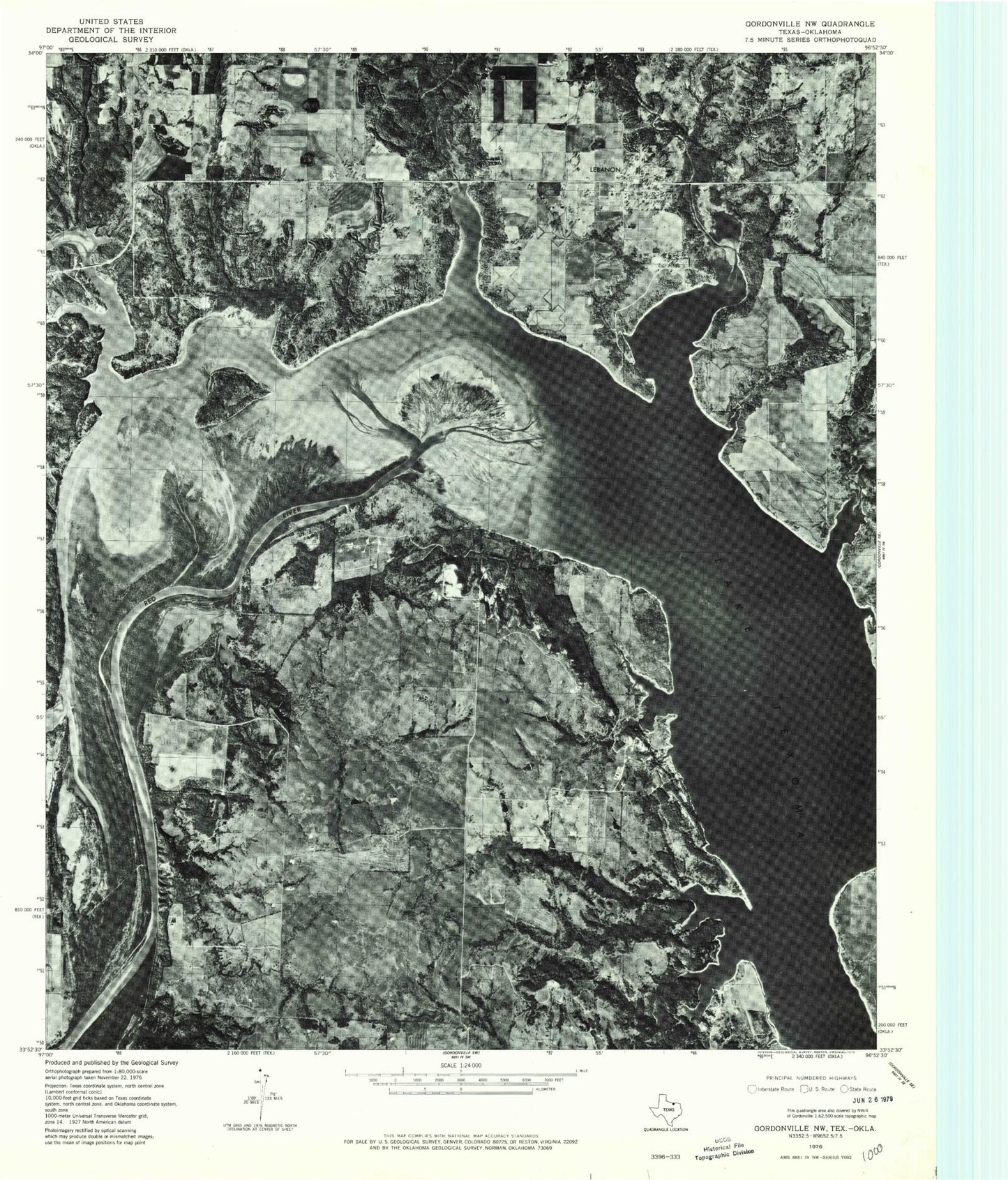
Classic USGS Lebanon Oklahoma 7.5'x7.5' Topo Map
Couldn't load pickup availability
Historical USGS topographic quad map of Lebanon in the states of Oklahoma, Texas. Map scale may vary for some years, but is generally around 1:24,000. Print size is approximately 24" x 27"
This quadrangle is in the following counties: Cooke, Grayson, Love, Marshall.
The map contains contour lines, roads, rivers, towns, and lakes. Printed on high-quality waterproof paper with UV fade-resistant inks, and shipped rolled.
Contains the following named places: Boggy Creek, Briar Creek, Brushy Mound, Catlin Creek, Comet Landing Strip, Currie Lake, Currie Lake Dam, Delaware Bend, Enville, Enville Cemetery, Enville Fire Department, Graveyard Bluff, Hickory Creek, Hickory Creek Public Use Area, Hickory Creek State Game Management Area, House Creek, Jenny Creek, Lebanon, Lebanon Airport, Lebanon Cemetery, Lebanon Census Designated Place, Lebanon Fire Department, Lebanon Post Office, Lebanon Public Use Area, Little Hauani Creek, Loves Valley State Game Management Area, Orlena, Salt Creek, Slickum Slough, U U Ranch Airport, Wilson Creek, ZIP Code: 73440