MyTopo
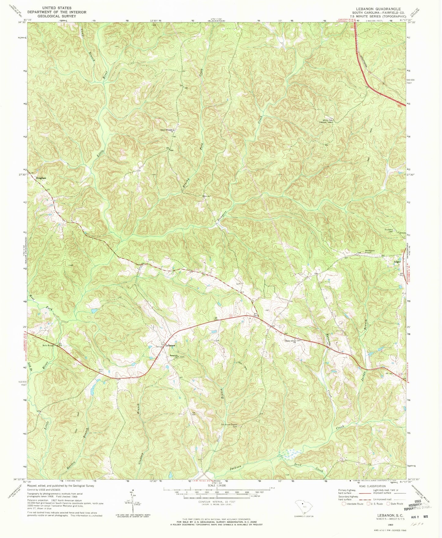
Classic USGS Lebanon South Carolina 7.5'x7.5' Topo Map
Couldn't load pickup availability
Historical USGS topographic quad map of Lebanon in the state of South Carolina. Map scale may vary for some years, but is generally around 1:24,000. Print size is approximately 24" x 27"
This quadrangle is in the following counties: Fairfield.
The map contains contour lines, roads, rivers, towns, and lakes. Printed on high-quality waterproof paper with UV fade-resistant inks, and shipped rolled.
Contains the following named places: Adger, Bells Bridge, Brushy Fork Creek, Camp Branch, Douglass, Dumpers Creek, Fairfield County Fire Department Lebanon Station, Jordan Branch, Kennedy Creek, Lebanon, Lebanon Cemetery, Lebanon Presbyterian Church, Lick Branch, Mobley Creek, Nazareth Church, Old Stone Church Cemetery, Opossum Branch, Saint Johns Cemetery, Sand Creek, Shady Grove Church, Shady Grove School, South Carolina Noname 20019 D-0520 Dam, Stitt Branch, Sweet Prospect Church, Sweet Prospect School, Turner Cemetery, West Fork Little River, White Oak Lookout Tower


