MyTopo
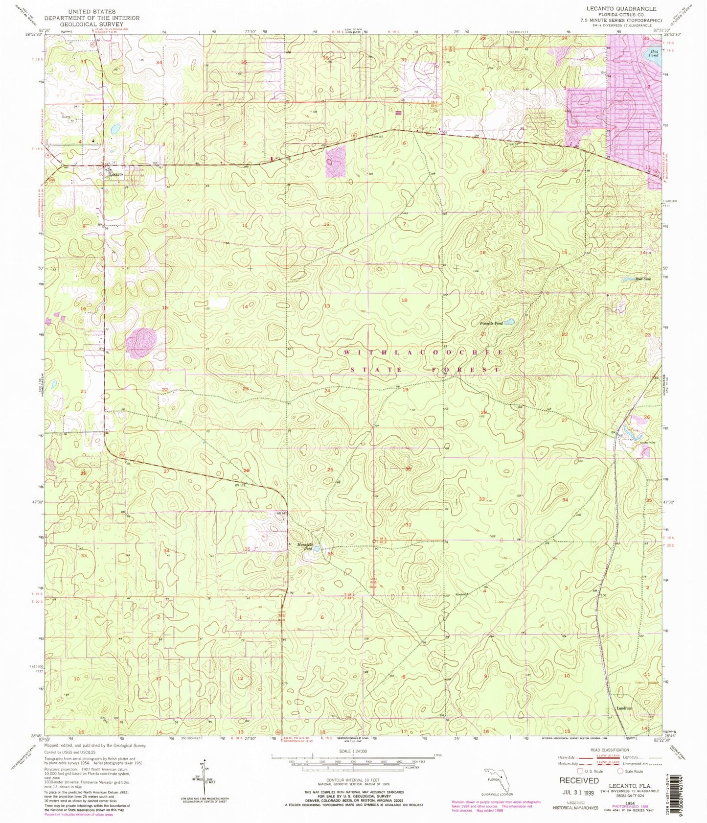
Classic USGS Lecanto Florida 7.5'x7.5' Topo Map
Couldn't load pickup availability
Historical USGS topographic quad map of Lecanto in the state of Florida. Typical map scale is 1:24,000, but may vary for certain years, if available. Print size: 24" x 27"
This quadrangle is in the following counties: Citrus.
The map contains contour lines, roads, rivers, towns, and lakes. Printed on high-quality waterproof paper with UV fade-resistant inks, and shipped rolled.
Contains the following named places: Fivemile Pond, Hog Pond, Lecanto, Mansfield Pond, Bull Sink, Big Hammock (historical), Landrum, Beverly Plaza, Citrus County Renaissance Center, Lecanto Primary School, Lecanto Middle School, Lecanto High School, Holder Mine, Citrus Wildlife Management Area, Citrus Primary Care - Allen Ridge Medical, Citrus Center, Citrus County Fire Rescue Station 23, Lecanto Cemetery, Lecanto Church of Christ, First Baptist Church of Lecanto, Lecanto Community Center, Citrus County Health Department, Lecanto High School Football Stadium, Lecanto County Government Building, Freedom Baptist Church, Citrus County Fire Rescue Station 21, Renaissance Center, Lecanto Park, Church of Jesus Christ of Latter Day Saints, Citrus County Sheriff's Office and Emergency Operations Center, Lecanto Post Office, Inverness Highlands North Census Designated Place, Lecanto Census Designated Place, Nature Coast Emergency Medical Foundation, Citrus County Detention Facility, Cyprus Creek Juvenile Offender Correctional Center, College of Central Florida Citrus Campus Police Department


