MyTopo
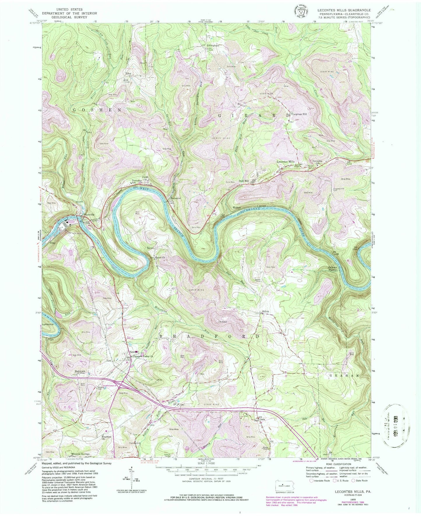
Classic USGS Lecontes Mills Pennsylvania 7.5'x7.5' Topo Map
Couldn't load pickup availability
Historical USGS topographic quad map of Lecontes Mills in the state of Pennsylvania. Typical map scale is 1:24,000, but may vary for certain years, if available. Print size: 24" x 27"
This quadrangle is in the following counties: Clearfield.
The map contains contour lines, roads, rivers, towns, and lakes. Printed on high-quality waterproof paper with UV fade-resistant inks, and shipped rolled.
Contains the following named places: Abes Run, Bald Hill, Bald Hill Run, Bear Run, Bloody Run, Bradford Church, Congress Hill, Congress Hill Cemetery, Croft, Dale, Dale Run, Eden, Egypt Church, Gallows Harbor, Gillingham, Gray, Lecontes Mills, Little Deer Creek, Little Surveyor Run, Little Trout Run, Millstone Run, Moravian Run, Murray Cemetery, Pleasant Valley Church, Shawville, Shiloh Cemetery, Stewart Cemetery, Stump Lick Run, Sulphur Run, Surveyor Run, Trout Run, Needful, Bishtown, Egypt, Shiloh, Surveyor, Walton, Dale School, Dale Church, Jackson School, Independence School (historical), Pleasant Hill School (historical), Watson School (historical), Bald Hill Station (historical), Congress Hill School (historical), Mount Sinai School (historical), Goshen Elementary School, Girard Elementary School, Coudley, Hamilton Heliport, Township of Bradford, Goshen Township Volunteer Fire Company Station 44, Lecontes Mills Volunteer Fire Company Station 21, Pennsylvania State Police Troop C Clearfield Station, Shawviille Post Office, Woodland Post Office, Dales Cemetery, Eden Church Cemetery, Gillingham Cemetery, Egypt Cemetery, Bradford Cemetery, Shawville Cemetery


