MyTopo
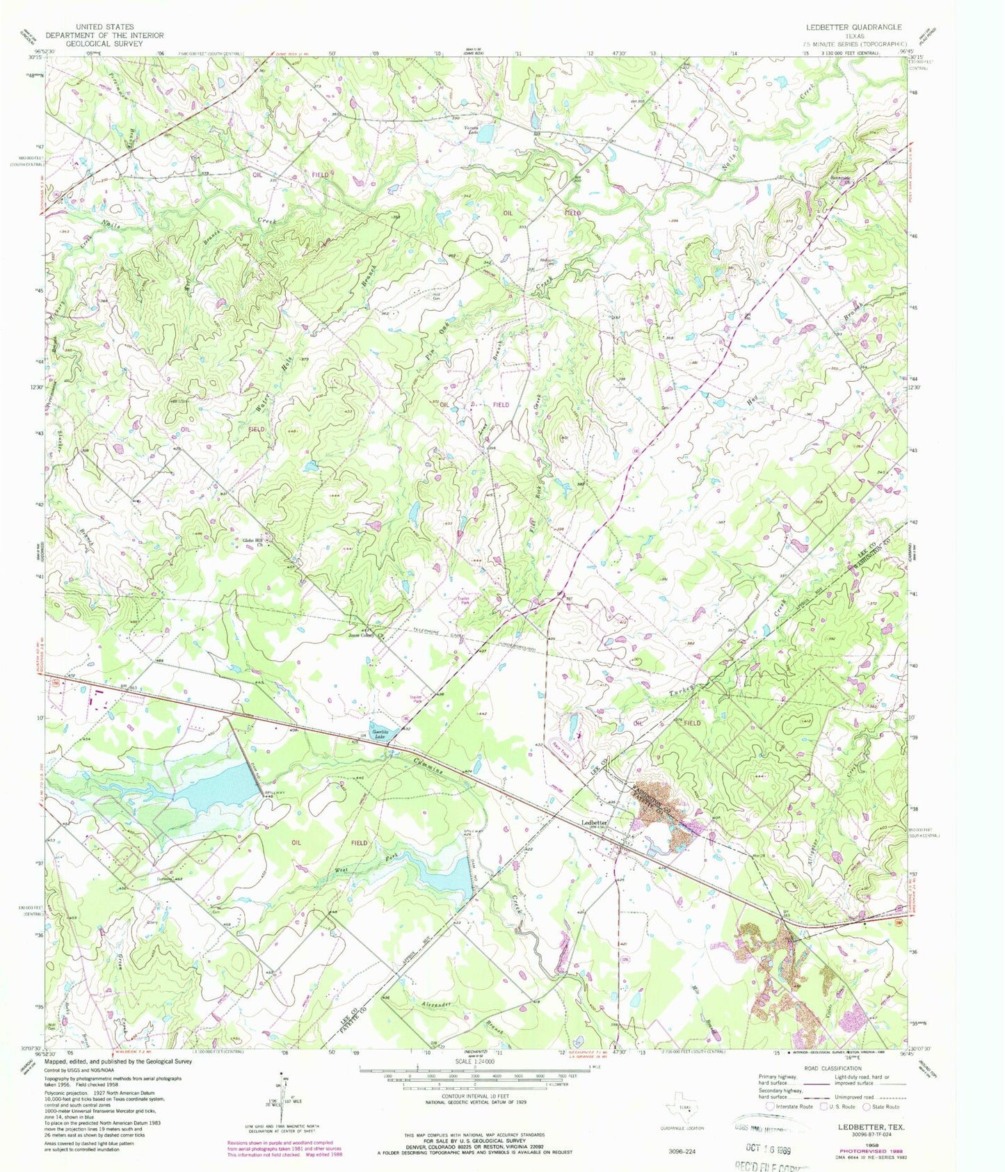
Classic USGS Ledbetter Texas 7.5'x7.5' Topo Map
Couldn't load pickup availability
Historical USGS topographic quad map of Ledbetter in the state of Texas. Map scale may vary for some years, but is generally around 1:24,000. Print size is approximately 24" x 27"
This quadrangle is in the following counties: Fayette, Lee, Washington.
The map contains contour lines, roads, rivers, towns, and lakes. Printed on high-quality waterproof paper with UV fade-resistant inks, and shipped rolled.
Contains the following named places: Atkinson Cemetery, Bar S Ranch Airport, Dam Number 1, Dam Number 2, Flat Rock Creek, Globe Hill Church, Goerlitz Lake, Goerlitz Lake Dam, Hickory Creek, Jones Colony Church, KOKE-FM (Giddings), Ledbetter, Ledbetter Post Office, Ledbetter Volunteer Fire Department, Line Branch, Persimmon Branch, Persimmons Branch, Pin Oak Creek, Rost Cemetery, Soil Conservation Service Site 1 Dam, Soil Conservation Service Site 1 Reservoir, Soil Conservation Service Site 2 Dam, Soil Conservation Service Site 2 Reservoir, Stueber Branch, Sunnyside Church, Vernon Lake, Water Hole Branch, West Fork Cummins Creek, Wolf Branch, Wolf Cemetery, ZIP Code: 78946