MyTopo
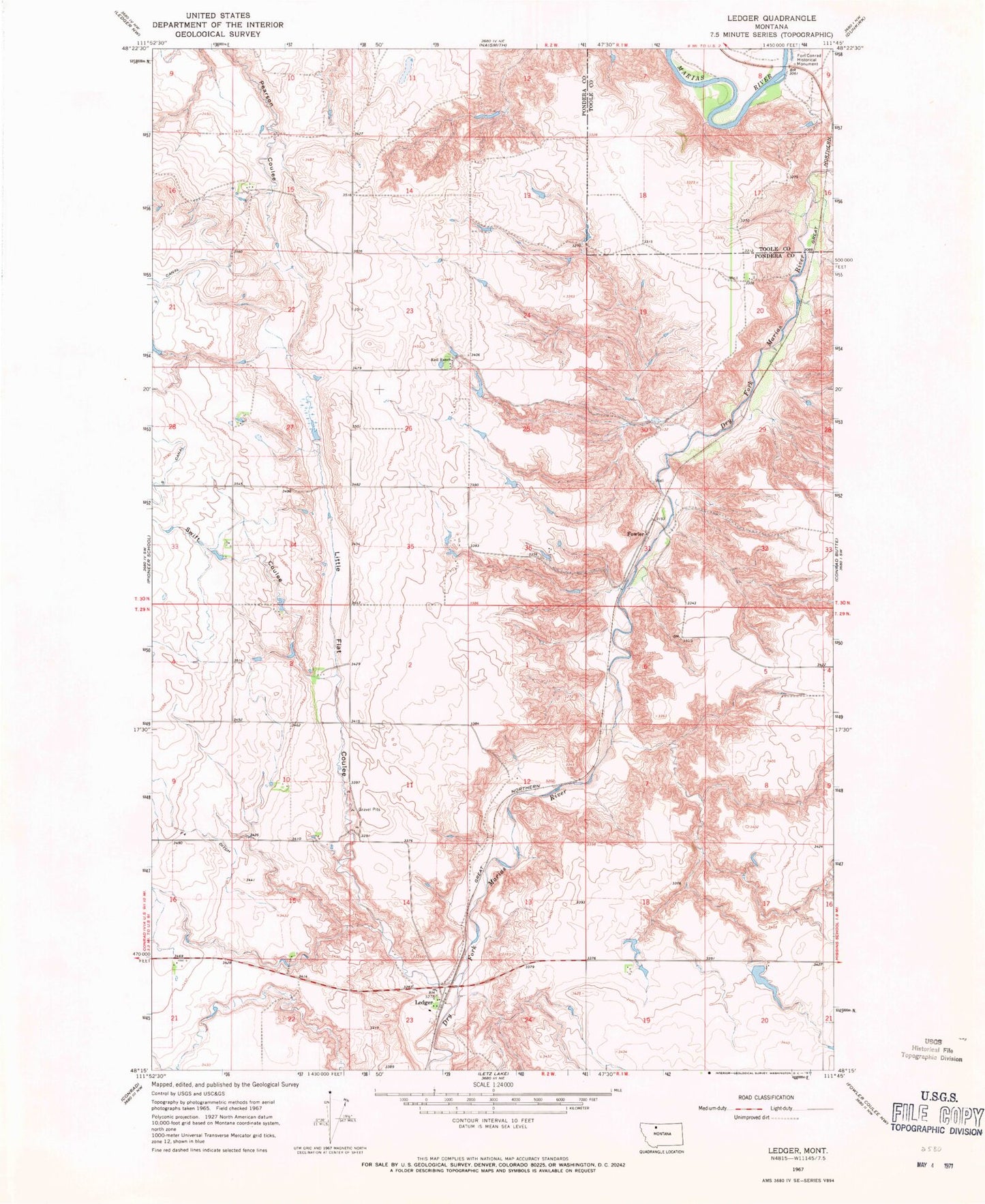
Classic USGS Ledger Montana 7.5'x7.5' Topo Map
Couldn't load pickup availability
Historical USGS topographic quad map of Ledger in the state of Montana. Map scale may vary for some years, but is generally around 1:24,000. Print size is approximately 24" x 27"
This quadrangle is in the following counties: Pondera, Toole.
The map contains contour lines, roads, rivers, towns, and lakes. Printed on high-quality waterproof paper with UV fade-resistant inks, and shipped rolled.
Contains the following named places: Columbia Grain International Incorporated Elevator, Conrad, Conrad Post Office, Cracker Dam, F Four Ditch, Fort Conrad, Fort Conrad Historical Monument, Fowler, Fowler Post Office, Fowler School, Keil Ranch, Ledger, Ledger Post Office, Ledger School, Little Flat Coulee, S Canal, Saint Olaf Lutheran Church, Swift Coulee, Tom McCracken Dam