MyTopo
Classic USGS Lee City Kentucky 7.5'x7.5' Topo Map
Couldn't load pickup availability
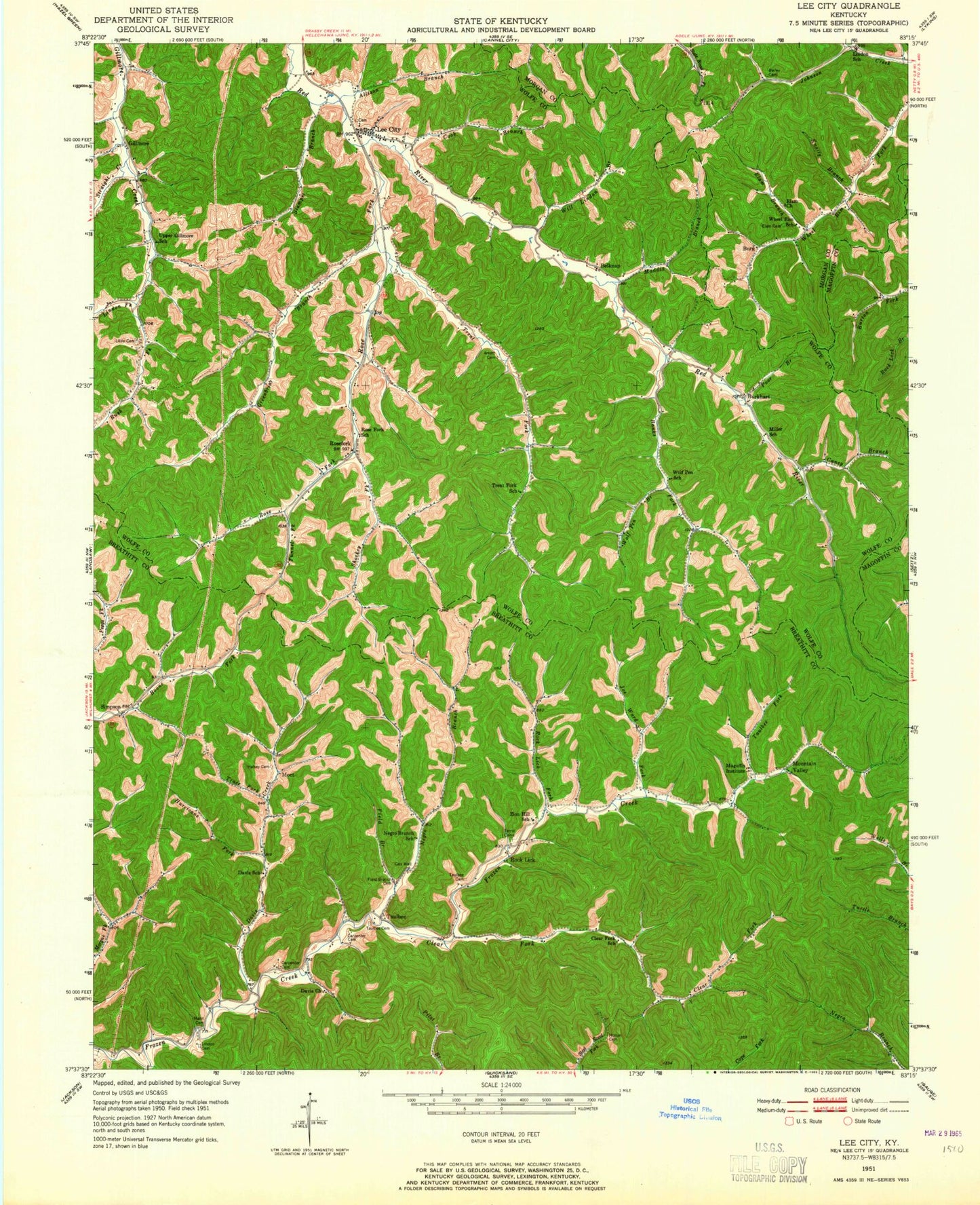
Historical USGS topographic quad map of Lee City in the state of Kentucky. Map scale may vary for some years, but is generally around 1:24,000. Print size is approximately 24" x 27"
This quadrangle is in the following counties: Breathitt, Magoffin, Morgan, Wolfe.
The map contains contour lines, roads, rivers, towns, and lakes. Printed on high-quality waterproof paper with UV fade-resistant inks, and shipped rolled.
Contains the following named places: Allison Branch, Banks Fork, Belknap, Belknap Church, Belknap Post Office, Burg Post Office, Burkhart, Burkhart Post Office, Caney Branch, Clear Fork, Clear Fork Cemetery, Cook Branch, Davis Creek, Elam Branch, Elam Cemetery, Elam Church, Ezel Lookout Tower, Field Branch, Field Branch Cemetery, Gibbs Cemetery, Gillmore, Gilmore Church, Greenbriar Branch, Hurricane Fork, Joe Ward Fork, Knatty Branch, Lee City, Lee City Holiness House of Prayer, Lindon Fork, Little Cemetery, Maddix Branch, Magoffin Institute, Miller School, Moct, Mountain Valley, Negro Branch, Poor Branch, Prater Branch, Rock Lick, Rock Lick Fork, Rose Fork, Rose Fork Post Office, Rose Fork Railroad Station, Rose Fork School, Rosefork, Rush Fork, Sam Hall Branch, Shockey Fork, Shockey Post Office, Simpson, Stamper Branch, Straight Creek, Taulbee, Taulbee Division, Taulbee Fork, Trace Fork, Trent Fork, Trent Fork School, Tunnel Fork, Upper Gillmore, Upper Gilmore School, Vina Post Office, Wheel Rim, Wheel Rim School, Wheelrim Fork, Will Lindon Branch, Wolf Pen, Wolf Pen Branch, Wolf Pen School, Zion Hill Mission, ZIP Code: 41385


