MyTopo
Classic USGS Leeds New York 7.5'x7.5' Topo Map
Couldn't load pickup availability
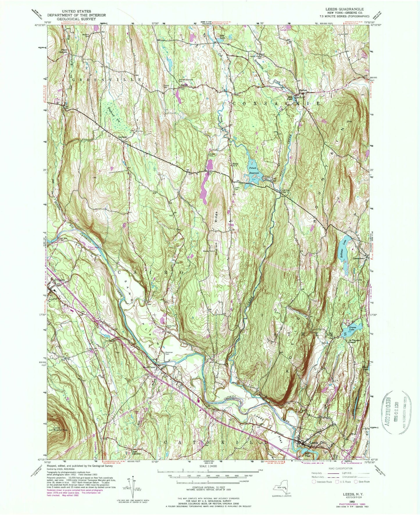
Historical USGS topographic quad map of Leeds in the state of New York. Map scale may vary for some years, but is generally around 1:24,000. Print size is approximately 24" x 27"
This quadrangle is in the following counties: Greene.
The map contains contour lines, roads, rivers, towns, and lakes. Printed on high-quality waterproof paper with UV fade-resistant inks, and shipped rolled.
Contains the following named places: Athens Village Water Treatment Plant, Bell Brook, Blackman Cemetery, Brookside Green Mobile Home Park, Butler Cemetery, Cairo, Cairo Elementary School, Cairo Hose Company, Cairo Junction, Cairo Public Library, Cairo Round Top, Canoe Lake, Catskill Valley Airpark, Cedaridge Farm, Cob Creek, Dots Lake, Earlton, Earlton Post Office, Earlton Volunteer Fire Department, Feddes Mobile Home Park, Forrest Hills Mobile Home Park, Gayhead, Gayhead Cemetery, Gayhead Vly, Grapeville Creek, Greens Lake, Hollister Lake, Honey Hollow Cemetery, Indian Ridge, Jan De Bakkers Kill, Lakes Mills Bridge, Leeds, Leeds Census Designated Place, Leeds Fire Department Hose Company 1, Leeds Flat, Leeds Post Office, Leeds Reformed Church, Leeds Village Cemetery, Limestreet, Mill Pond, Palmer Cemetery, Place Corners, Potic Creek, Potic Mountain, Potic Reservoir Water Treatment Plant, Potuck Reservoir, Result, Sacred Heart Church, Saint Therasas Chapel, Sandy Plain, Sandy Plain Cemetery, Schnares Sunset Orchards, School Number 10, School Number 11, School Number 12, School Number 14, School Number 2, School Number 3, School Number 5, School Number 7, School Number 8, School Number 9, Shingle Kill, South Cairo, South Cairo Census Designated Place, South Cairo Post Office, Three Town Bridge, Union Cemetery, Waldron Brandow Cemetery, Waldron Cemetery, Webber Cemetery, Weekes Cemetery, West Medway Creek, ZIP Codes: 12058, 12451, 12482


