MyTopo
Classic USGS Leeds South Carolina 7.5'x7.5' Topo Map
Couldn't load pickup availability
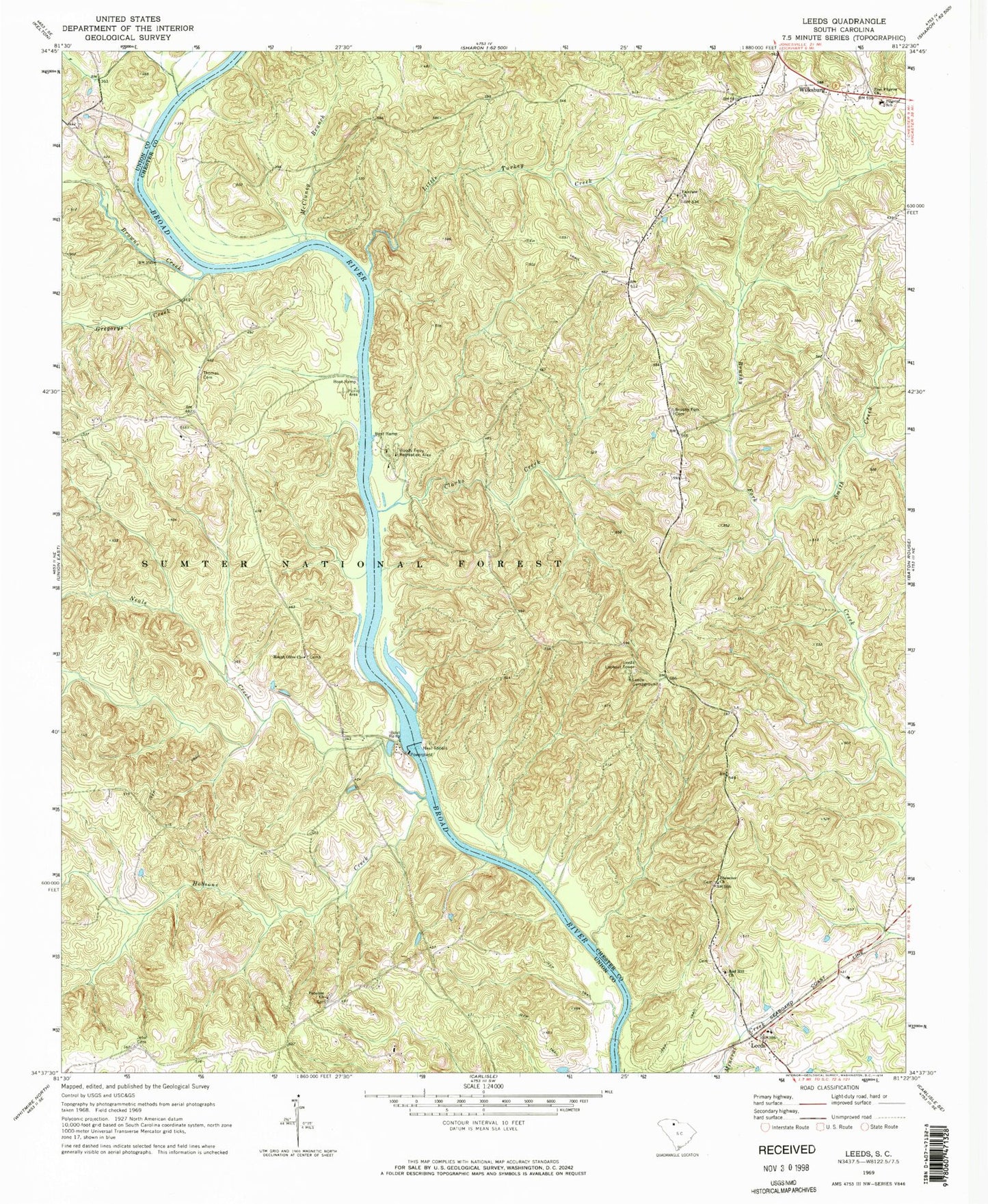
Historical USGS topographic quad map of Leeds in the state of South Carolina. Typical map scale is 1:24,000, but may vary for certain years, if available. Print size: 24" x 27"
This quadrangle is in the following counties: Chester, Union.
The map contains contour lines, roads, rivers, towns, and lakes. Printed on high-quality waterproof paper with UV fade-resistant inks, and shipped rolled.
Contains the following named places: Browns Creek, Brushy Fork Cemetery, Clarks Creek, Fairview Church, Gregorys Creek, Hobsons Creek, Hughes Creek, Leeds, Leeds Campground, Little Turkey Creek, McCluney Branch, Neals Creek, Pilgrim School, Red Hill Church, Smith Creek, Thomas Cemetery, Vanderford Branch, Broad River Campground, Leeds Rifle Range, Leeds School (historical), Lyles Ferry (historical), Piney Grove Church (historical), Piney Grove (historical), Wilksburg Baptist Church, Wilksburg School (historical), Woods Ferry (historical), Evergreen Church (historical), Evergreen School (historical), Glenn Cemetery, Meador School (historical), Neal Shoals, Paradise School (historical), Red Point (historical), Sims Cemetery, Neal Shoals Dam, Neal Shoals Reservoir, South Carolina Noname 12026 D-1436 Dam, McDaniels Pond Dam Number Two, McDaniels Pond, Ophelias Dam, Leeds Lookout Tower, Jeter Cemetery, Ebenezer Baptist Church, Mount Olive Baptist Church, Neal Shoals, Paradise African Methodist Episcopal Church, Wilksburg, Woods Ferry Recreation Area, Zion Pilgrim Church, Worthys Ferry (historical), Colemans Creek, Mountain Creek, West Chester Fire Department, Zion Pilgrim Missionary Baptist Church Graveyard