MyTopo
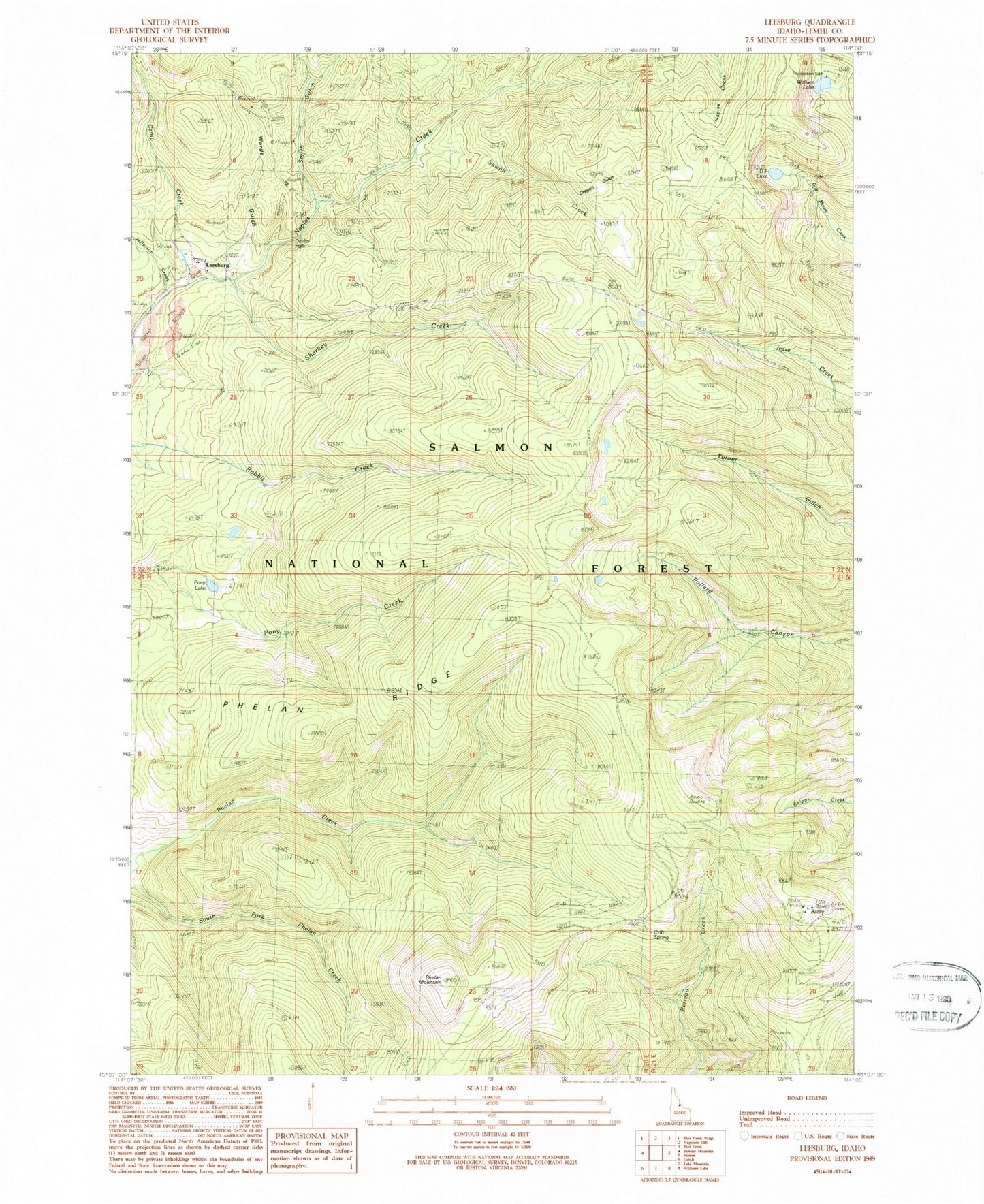
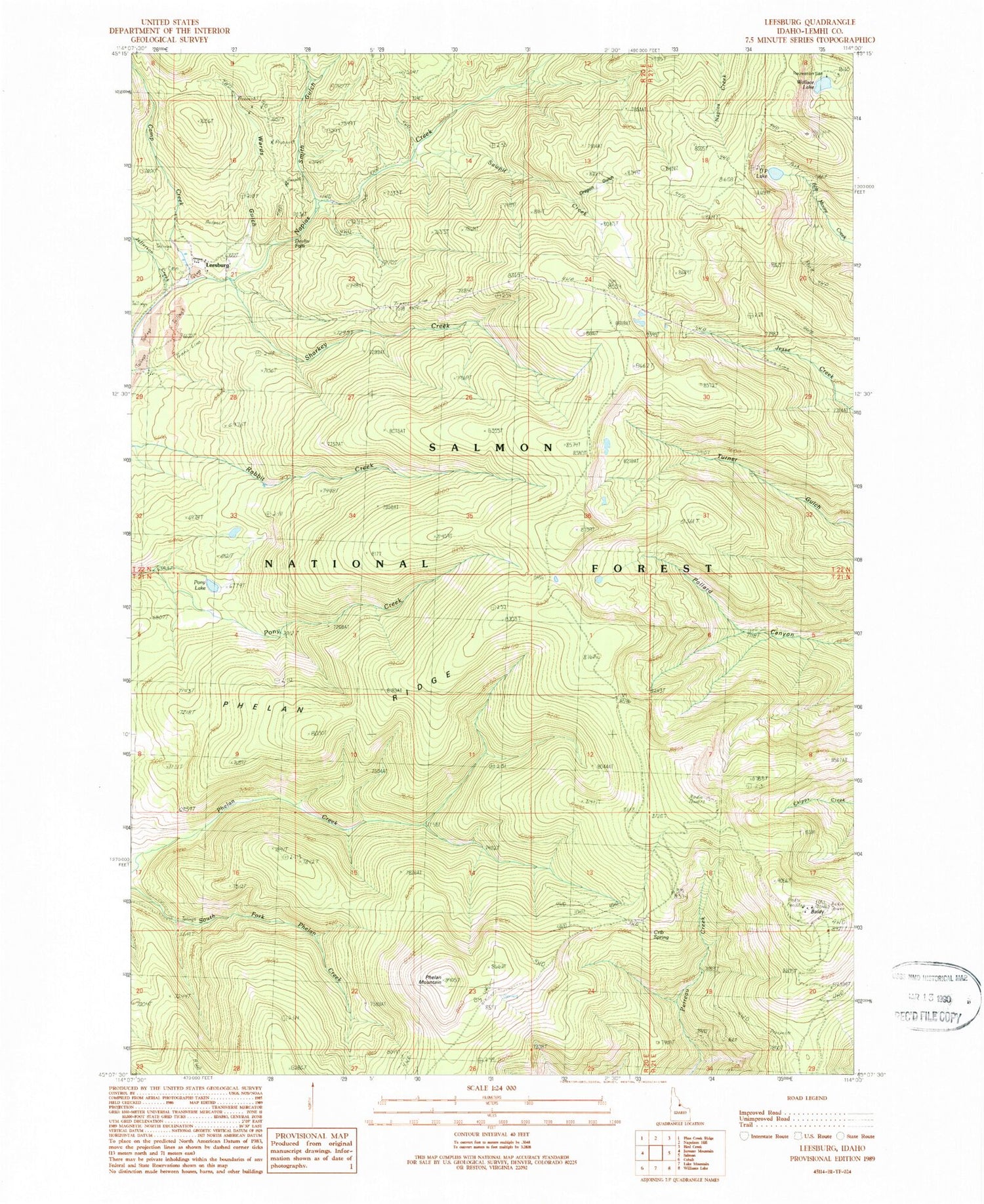
Classic USGS Leesburg Idaho 7.5'x7.5' Topo Map
Couldn't load pickup availability
Historical USGS topographic quad map of Leesburg in the state of Idaho. Map scale may vary for some years, but is generally around 1:24,000. Print size is approximately 24" x 27"
This quadrangle is in the following counties: Lemhi.
The map contains contour lines, roads, rivers, towns, and lakes. Printed on high-quality waterproof paper with UV fade-resistant inks, and shipped rolled.
Contains the following named places: Baldy, Camp Creek, Crib Spring, Devlin Falls, Gutzman Ridge, Jefferson Creek, Leesburg, Leesburg Cemetery, Leesburg Post Office, Oregon Gulch, Phelan Mountain, Phelan Ridge, Pony Lake, Sawpit Creek, Sharkey Creek, Smith Gulch, U P Lake, Wallace Lake, Wallace Lake Recreation Site, Wards Gulch